1253 Fm 406 Denison, TX 75020
Estimated Value: $303,420
--
Bed
--
Bath
1,840
Sq Ft
$165/Sq Ft
Est. Value
About This Home
This home is located at 1253 Fm 406, Denison, TX 75020 and is currently estimated at $303,420, approximately $164 per square foot. 1253 Fm 406 is a home with nearby schools including Mayes Elementary School, Scott Middle School, and Denison High School.
Ownership History
Date
Name
Owned For
Owner Type
Purchase Details
Closed on
Dec 30, 2024
Sold by
Seascape Gp Llc
Bought by
406 Preston Lp
Current Estimated Value
Purchase Details
Closed on
Feb 24, 2017
Sold by
Liberty Assets Llc
Bought by
Seascape Gp Llc
Home Financials for this Owner
Home Financials are based on the most recent Mortgage that was taken out on this home.
Original Mortgage
$4,000
Interest Rate
4.3%
Mortgage Type
Purchase Money Mortgage
Purchase Details
Closed on
Jan 18, 2017
Sold by
Perez Juan
Bought by
Liberty Assets Llc
Home Financials for this Owner
Home Financials are based on the most recent Mortgage that was taken out on this home.
Original Mortgage
$4,000
Interest Rate
4.3%
Mortgage Type
Purchase Money Mortgage
Purchase Details
Closed on
Oct 20, 2016
Sold by
Doyle Deborah Lynn
Bought by
Doyle Family Trust
Create a Home Valuation Report for This Property
The Home Valuation Report is an in-depth analysis detailing your home's value as well as a comparison with similar homes in the area
Home Values in the Area
Average Home Value in this Area
Purchase History
| Date | Buyer | Sale Price | Title Company |
|---|---|---|---|
| 406 Preston Lp | -- | None Listed On Document | |
| 406 Preston Lp | -- | None Listed On Document | |
| Seascape Gp Llc | -- | Grayson County Title | |
| Liberty Assets Llc | -- | None Available | |
| Doyle Family Trust | -- | None Available |
Source: Public Records
Mortgage History
| Date | Status | Borrower | Loan Amount |
|---|---|---|---|
| Previous Owner | Liberty Assets Llc | $4,000 |
Source: Public Records
Tax History Compared to Growth
Tax History
| Year | Tax Paid | Tax Assessment Tax Assessment Total Assessment is a certain percentage of the fair market value that is determined by local assessors to be the total taxable value of land and additions on the property. | Land | Improvement |
|---|---|---|---|---|
| 2025 | $4,210 | $269,911 | $266,927 | $2,984 |
| 2024 | $4,210 | $261,307 | $260,817 | $490 |
| 2023 | $4,224 | $261,794 | $260,817 | $977 |
| 2022 | $2,165 | $125,563 | $114,723 | $10,840 |
| 2021 | $2,320 | $124,052 | $114,723 | $9,329 |
| 2020 | $2,462 | $124,005 | $114,723 | $9,282 |
| 2019 | $2,105 | $99,375 | $88,283 | $11,092 |
| 2018 | $4,717 | $220,356 | $78,817 | $141,539 |
| 2017 | $3,864 | $187,103 | $78,817 | $108,286 |
| 2016 | $3,305 | $153,440 | $61,731 | $91,709 |
| 2015 | $2,793 | $149,939 | $58,426 | $91,513 |
| 2014 | $2,664 | $136,808 | $49,687 | $87,121 |
Source: Public Records
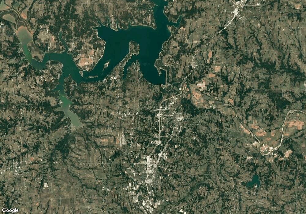
Map
Nearby Homes
- 193 Eisenhower Rd
- 334 Golf Walk Cir
- 000 TBD Golf Walk Cir
- 000 Eisenhower Rd
- 20 Golf Walk Cir
- Lot 6, 1088 Waters Edge Dr
- Lot 7, 1070 Waters Edge Dr
- Lot 9, 1036 Waters Edge Dr
- Lot 10, 1014 Waters Edge Dr
- 118 Texoma Meadows
- 106 Glenwood Dr
- 113 Rock Hill Rd
- 107 Fountain Meadows
- 101 Rock Hill Rd
- 111 Prairie Meadow Ln
- TBD Preston Rd
- TBD Pearce Dr
- 209 Chrissa Dr
- 190 Neva Ln
- TBD Highland Dr