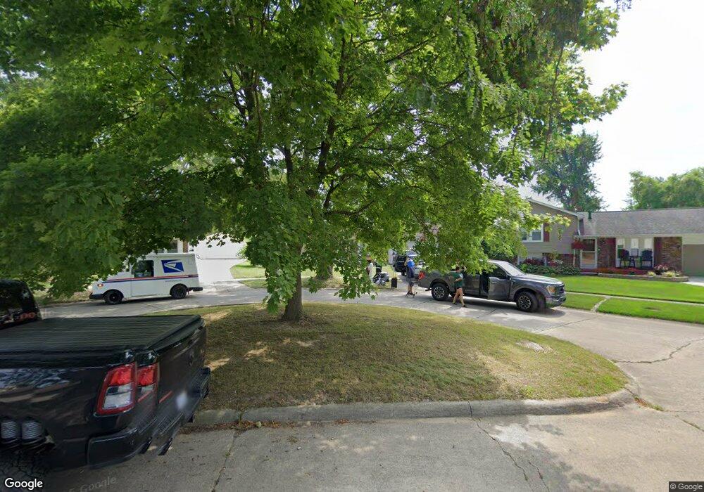
1253 Hampshire Dr Canton, MI 48188
Estimated Value: $258,000 - $297,000
3
Beds
2
Baths
993
Sq Ft
$285/Sq Ft
Est. Value
About This Home
This home is located at 1253 Hampshire Dr, Canton, MI 48188 and is currently estimated at $283,052, approximately $285 per square foot. 1253 Hampshire Dr is a home located in Wayne County with nearby schools including Canton High School, Salem High School, and Plymouth High School.
Ownership History
Date
Name
Owned For
Owner Type
Purchase Details
Closed on
Aug 9, 2007
Sold by
Gauvin Kevin P
Bought by
Deutsche Bank National Trust Co and Argent Mortgage Loan Trust Asset Backed
Current Estimated Value
Purchase Details
Closed on
Jul 11, 2005
Sold by
Mahadevan Amisha and Mahadevan Madhu
Bought by
Gauvin Kevin
Purchase Details
Closed on
Jul 2, 2001
Sold by
Bales Brian R
Bought by
Mahadvan Amisha
Purchase Details
Closed on
Oct 30, 1997
Sold by
Wal Esther M and Wal Jeffrey
Bought by
Bales Brian R
Create a Home Valuation Report for This Property
The Home Valuation Report is an in-depth analysis detailing your home's value as well as a comparison with similar homes in the area
Home Values in the Area
Average Home Value in this Area
Purchase History
| Date | Buyer | Sale Price | Title Company |
|---|---|---|---|
| Deutsche Bank National Trust Co | $153,273 | None Available | |
| Gauvin Kevin | $186,500 | First Michigan Title | |
| Mahadvan Amisha | $169,000 | -- | |
| Bales Brian R | $128,500 | -- |
Source: Public Records
Tax History Compared to Growth
Tax History
| Year | Tax Paid | Tax Assessment Tax Assessment Total Assessment is a certain percentage of the fair market value that is determined by local assessors to be the total taxable value of land and additions on the property. | Land | Improvement |
|---|---|---|---|---|
| 2025 | $1,338 | $137,400 | $0 | $0 |
| 2024 | $1,338 | $123,700 | $0 | $0 |
| 2023 | $1,275 | $108,900 | $0 | $0 |
| 2022 | $3,051 | $99,800 | $0 | $0 |
| 2021 | $2,976 | $97,100 | $0 | $0 |
| 2020 | $2,948 | $90,400 | $0 | $0 |
| 2019 | $2,911 | $87,150 | $0 | $0 |
| 2018 | $1,084 | $81,190 | $0 | $0 |
| 2017 | $2,800 | $80,100 | $0 | $0 |
| 2016 | $2,452 | $75,600 | $0 | $0 |
| 2015 | $5,957 | $69,290 | $0 | $0 |
| 2013 | $5,973 | $62,070 | $0 | $0 |
| 2010 | -- | $62,540 | $39,420 | $23,120 |
Source: Public Records
Map
Nearby Homes
- 41481 Cumberland Dr
- 41441 Cumberland Dr
- 41928 Old Bridge Rd
- 41567 SiMcOe Dr
- 42272 Beechwood Ct
- 41191 Southwind Dr
- 41270 Southwind Dr Unit 99
- 42384 Beechwood Ct
- 41109 Southwind Dr
- 1803 Pinecroft Dr Unit 171
- 2006 S Lilley Rd
- 2322 Arcadia Dr Unit 254
- 1530 Fairfax Dr
- 40488 Glen Eagle Ln Unit 75
- 678 Kings Way
- 631 Tyler Ln
- 2340 S Lilley Rd
- 2435 S Haggerty Rd
- 584 Worthington Rd
- 550 Concord Dr Unit 75
- 1247 Hampshire Dr
- 1257 Hampshire Dr
- 41520 Alleghany St
- 1400 Stafford Dr
- 1241 Hampshire Dr
- 41500 Alleghany St
- 1333 Hampshire Dr
- 1420 Stafford Dr
- 1227 Hampshire Dr
- 41480 Alleghany St
- 1240 Hampshire Dr
- 1345 Hampshire Dr
- 1256 Hampshire Dr
- 1215 Hampshire Dr
- 1440 Stafford Dr
- 1270 Hampshire Dr
- 1224 Hampshire Dr
- 41460 Alleghany St
- 41501 Alleghany St
- 1300 Hampshire Dr