Estimated Value: $190,000 - $333,000
--
Bed
--
Bath
1,590
Sq Ft
$165/Sq Ft
Est. Value
About This Home
This home is located at 1253 Highway 3159, Trout, LA 71371 and is currently estimated at $261,941, approximately $164 per square foot. 1253 Highway 3159 is a home.
Ownership History
Date
Name
Owned For
Owner Type
Purchase Details
Closed on
Mar 15, 2013
Sold by
Deville Clyde Artel
Bought by
Weaver Reaves Matthew and Reaves Brandy Nicole
Current Estimated Value
Home Financials for this Owner
Home Financials are based on the most recent Mortgage that was taken out on this home.
Original Mortgage
$176,739
Outstanding Balance
$124,494
Interest Rate
3.5%
Mortgage Type
FHA
Estimated Equity
$137,447
Create a Home Valuation Report for This Property
The Home Valuation Report is an in-depth analysis detailing your home's value as well as a comparison with similar homes in the area
Home Values in the Area
Average Home Value in this Area
Purchase History
| Date | Buyer | Sale Price | Title Company |
|---|---|---|---|
| Weaver Reaves Matthew | $180,000 | -- |
Source: Public Records
Mortgage History
| Date | Status | Borrower | Loan Amount |
|---|---|---|---|
| Open | Weaver Reaves Matthew | $176,739 |
Source: Public Records
Tax History Compared to Growth
Tax History
| Year | Tax Paid | Tax Assessment Tax Assessment Total Assessment is a certain percentage of the fair market value that is determined by local assessors to be the total taxable value of land and additions on the property. | Land | Improvement |
|---|---|---|---|---|
| 2024 | $2,141 | $15,719 | $121 | $15,598 |
| 2023 | $2,201 | $14,600 | $120 | $14,480 |
| 2022 | $2,201 | $14,600 | $120 | $14,480 |
| 2021 | $2,201 | $14,600 | $120 | $14,480 |
| 2020 | $2,330 | $14,600 | $120 | $14,480 |
| 2019 | $2,347 | $14,600 | $120 | $14,480 |
| 2018 | $2,347 | $14,600 | $120 | $14,480 |
| 2017 | $2,347 | $14,600 | $120 | $14,480 |
| 2016 | $2,347 | $14,600 | $120 | $14,480 |
| 2015 | $2,197 | $13,120 | $120 | $13,000 |
| 2013 | $2,197 | $13,120 | $120 | $13,000 |
Source: Public Records
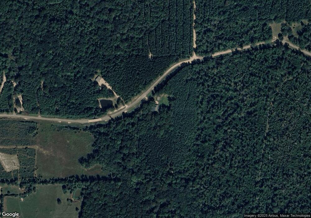
Map
Nearby Homes
- 333 Yoakum Rd Unit LotWP001
- 222 Yocum Rd Unit LotWP001
- 165 Mosquito Dr
- 0 US 84 U S 84
- 00 U S 84
- 383 Thorla St
- 6915 Highway 772 W
- 2011 Cherrybark Ln
- 1675 W Tennessee St
- 333 Yocum Rd Unit LotWP002
- 116 Hudson St
- 1579 Nugent St
- 1685 Hodges St
- 2995 Louisiana 500
- T-2 Louisiana 127
- T-1 Louisiana 127
- 1042 Hemp Creek St
- 0 Louisiana 127
- 00 Austin Rd
- Little Creek Rd Unit LotWP001