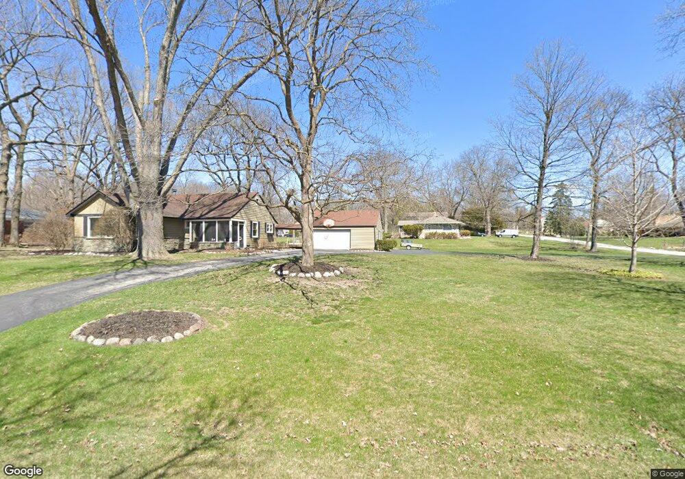
12530 Elmhurst Pkwy Elm Grove, WI 53122
Estimated Value: $614,000 - $651,000
3
Beds
2
Baths
2,149
Sq Ft
$295/Sq Ft
Est. Value
About This Home
This home is located at 12530 Elmhurst Pkwy, Elm Grove, WI 53122 and is currently estimated at $634,326, approximately $295 per square foot. 12530 Elmhurst Pkwy is a home located in Waukesha County with nearby schools including Tonawanda Elementary School, Pilgrim Park Middle School, and Brookfield East High School.
Ownership History
Date
Name
Owned For
Owner Type
Purchase Details
Closed on
Sep 30, 1998
Sold by
Borch Robert C F and Borch Robert C
Bought by
Myszewski John F and Myszewski Virginia L
Current Estimated Value
Home Financials for this Owner
Home Financials are based on the most recent Mortgage that was taken out on this home.
Original Mortgage
$161,400
Outstanding Balance
$35,337
Interest Rate
6.9%
Estimated Equity
$598,989
Create a Home Valuation Report for This Property
The Home Valuation Report is an in-depth analysis detailing your home's value as well as a comparison with similar homes in the area
Home Values in the Area
Average Home Value in this Area
Purchase History
| Date | Buyer | Sale Price | Title Company |
|---|---|---|---|
| Myszewski John F | $169,900 | -- |
Source: Public Records
Mortgage History
| Date | Status | Borrower | Loan Amount |
|---|---|---|---|
| Open | Myszewski John F | $161,400 |
Source: Public Records
Tax History Compared to Growth
Tax History
| Year | Tax Paid | Tax Assessment Tax Assessment Total Assessment is a certain percentage of the fair market value that is determined by local assessors to be the total taxable value of land and additions on the property. | Land | Improvement |
|---|---|---|---|---|
| 2024 | $7,226 | $539,100 | $151,600 | $387,500 |
| 2023 | $6,683 | $456,600 | $141,900 | $314,700 |
| 2022 | $7,007 | $456,600 | $141,900 | $314,700 |
| 2021 | $7,000 | $405,100 | $141,900 | $263,200 |
| 2020 | $7,231 | $405,100 | $141,900 | $263,200 |
| 2019 | $7,031 | $376,400 | $145,600 | $230,800 |
| 2018 | $6,681 | $376,400 | $145,600 | $230,800 |
| 2017 | $6,421 | $335,000 | $139,000 | $196,000 |
| 2016 | $6,364 | $335,000 | $139,000 | $196,000 |
| 2015 | $6,331 | $335,000 | $139,000 | $196,000 |
| 2014 | $5,221 | $316,200 | $130,500 | $185,700 |
| 2013 | $5,221 | $283,500 | $137,000 | $146,500 |
Source: Public Records
Map
Nearby Homes
- 1239 N 122nd St
- 1920 Fairhaven Blvd
- 12855 Stephen Place
- 1660 Lindhurst Ct
- 13130 Watertown Plank Rd Unit 312
- 1409 N 116th St
- 12675 W North Ave
- 11722 W Diane Dr
- 13050 W Bluemound Rd Unit 303
- 12990 W Bluemound Rd Unit 205
- 14220 Hillside Rd
- 744 N 115th St
- 12000 W Bluemound Rd Unit 111
- 12207 W Bluemound Rd
- 11510 W Wisconsin Ave
- 13485 Braemar Dr
- 12455 W Center St
- 333 N 120th St
- 14625 Club Dr
- 441 N 112th St
- 1600 Longwood Ave
- 1620 Longwood Ave
- 1625 Woodside Ln
- 1555 Woodside Ln
- 1630 Longwood Ave
- 12600 Elmhurst Pkwy
- 1635 Woodside Ln
- 12450 Elmhurst Pkwy
- 1615 Longwood Ave
- 1625 Longwood Ave
- 12475 Elmhurst Pkwy
- 1550 Longwood Ave
- 1620 Woodside Ln
- 1640 Longwood Ave
- 1645 Woodside Ln
- 12605 Elmhurst Pkwy
- 1535 Woodside Ln
- 1635 Longwood Ave
- 12400 Elmhurst Pkwy
- 12650 Elmhurst Pkwy