12530 Sam Furr Rd Huntersville, NC 28078
Estimated Value: $363,000 - $424,590
2
Beds
2
Baths
1,424
Sq Ft
$281/Sq Ft
Est. Value
About This Home
This home is located at 12530 Sam Furr Rd, Huntersville, NC 28078 and is currently estimated at $400,148, approximately $281 per square foot. 12530 Sam Furr Rd is a home located in Mecklenburg County with nearby schools including Huntersville Elementary School, Bailey Middle School, and William Amos Hough High School.
Ownership History
Date
Name
Owned For
Owner Type
Purchase Details
Closed on
Oct 1, 2007
Sold by
Schaper Norvin H and Schaper Cynthia K
Bought by
Douglas Maria M
Current Estimated Value
Home Financials for this Owner
Home Financials are based on the most recent Mortgage that was taken out on this home.
Original Mortgage
$124,646
Interest Rate
6.57%
Mortgage Type
Purchase Money Mortgage
Create a Home Valuation Report for This Property
The Home Valuation Report is an in-depth analysis detailing your home's value as well as a comparison with similar homes in the area
Home Values in the Area
Average Home Value in this Area
Purchase History
| Date | Buyer | Sale Price | Title Company |
|---|---|---|---|
| Douglas Maria M | $157,500 | None Available |
Source: Public Records
Mortgage History
| Date | Status | Borrower | Loan Amount |
|---|---|---|---|
| Closed | Douglas Maria M | $124,646 |
Source: Public Records
Tax History Compared to Growth
Tax History
| Year | Tax Paid | Tax Assessment Tax Assessment Total Assessment is a certain percentage of the fair market value that is determined by local assessors to be the total taxable value of land and additions on the property. | Land | Improvement |
|---|---|---|---|---|
| 2025 | $1,650 | $307,900 | $161,900 | $146,000 |
| 2024 | $1,650 | $307,900 | $161,900 | $146,000 |
| 2023 | $1,650 | $307,900 | $161,900 | $146,000 |
| 2022 | $1,449 | $228,800 | $115,700 | $113,100 |
| 2021 | $1,432 | $228,800 | $115,700 | $113,100 |
| 2020 | $1,407 | $228,800 | $115,700 | $113,100 |
| 2019 | $2,078 | $228,800 | $115,700 | $113,100 |
| 2018 | $1,860 | $155,000 | $73,600 | $81,400 |
| 2017 | $1,833 | $155,000 | $73,600 | $81,400 |
| 2016 | $1,830 | $155,000 | $73,600 | $81,400 |
| 2015 | $1,826 | $155,000 | $73,600 | $81,400 |
| 2014 | $1,824 | $0 | $0 | $0 |
Source: Public Records
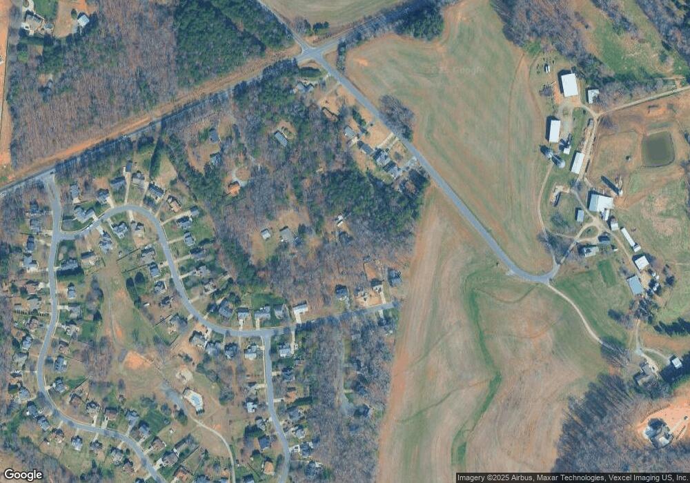
Map
Nearby Homes
- 12707 Willow Grove Way
- 12538 Sam Furr Rd
- 14205 Kershaw Cir Unit 13
- 14213 Kershaw Cir Unit 15
- 14209 Kershaw Cir Unit 14
- 14219 Kershaw Cir Unit 16
- 14222 Kershaw Cir Unit 17
- 14218 Kershaw Cir Unit 18
- 13213 Oak Farm Ln
- 13212 Oak Farm Ln
- 14015 Camden Close Cir Unit 26
- 14011 Camden Close Cir Unit 25
- 13648 Glennmayes Rd
- 14012 Camden Close Cir Unit 35
- Kipling Plan at Preserve at Mayes Meadow
- Kipling Plan at Windermere Farms
- Woodford Plan at Preserve at Mayes Meadow
- Nottingham Plan at Preserve at Mayes Meadow
- Devonshire Plan at Preserve at Mayes Meadow
- Covington Plan at Preserve at Mayes Meadow
- 12715 Willow Grove Way
- 12701 Willow Grove Way
- 12701 Willow Grove Way Unit 18c
- 12719 Willow Grove Way
- 12520 Sam Furr Rd
- 12514 Sam Furr Rd
- 13220 Westmoreland Rd
- 12625 Willow Grove Way
- 13212 Westmoreland Rd
- 13206 Westmoreland Rd
- 12619 Willow Grove Way
- 12716 Willow Grove Way
- 12700 Willow Grove Way
- 13200 Westmoreland Rd
- 12706 Willow Grove Way
- 12611 Willow Grove Way
- 13124 Westmoreland Rd
- 12508 Sam Furr Rd
- 12620 Willow Grove Way
- 12603 Willow Grove Way