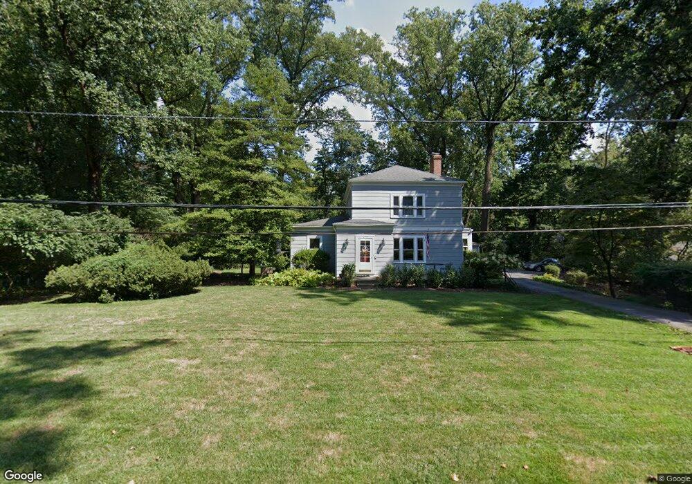
12533 Two Farm Dr Silver Spring, MD 20904
Estimated Value: $615,263 - $743,000
Studio
2
Baths
2,733
Sq Ft
$243/Sq Ft
Est. Value
About This Home
This home is located at 12533 Two Farm Dr, Silver Spring, MD 20904 and is currently estimated at $663,816, approximately $242 per square foot. 12533 Two Farm Dr is a home located in Montgomery County with nearby schools including Jackson Road Elementary School, White Oak Middle School, and Springbrook High School.
Ownership History
Date
Name
Owned For
Owner Type
Purchase Details
Closed on
May 29, 2001
Sold by
Lynagh Timothy S and Lynagh M E
Bought by
Lynagh Eileen M
Current Estimated Value
Purchase Details
Closed on
Jul 27, 1994
Sold by
Deibel Terry L
Bought by
Lynagh Timothy S
Home Financials for this Owner
Home Financials are based on the most recent Mortgage that was taken out on this home.
Original Mortgage
$203,150
Interest Rate
8.25%
Create a Home Valuation Report for This Property
The Home Valuation Report is an in-depth analysis detailing your home's value as well as a comparison with similar homes in the area
Home Values in the Area
Average Home Value in this Area
Purchase History
| Date | Buyer | Sale Price | Title Company |
|---|---|---|---|
| Lynagh Eileen M | -- | -- | |
| Lynagh Timothy S | $260,000 | -- |
Source: Public Records
Mortgage History
| Date | Status | Borrower | Loan Amount |
|---|---|---|---|
| Previous Owner | Lynagh Timothy S | $203,150 |
Source: Public Records
Tax History
| Year | Tax Paid | Tax Assessment Tax Assessment Total Assessment is a certain percentage of the fair market value that is determined by local assessors to be the total taxable value of land and additions on the property. | Land | Improvement |
|---|---|---|---|---|
| 2025 | $6,360 | $506,833 | -- | -- |
| 2024 | $6,360 | $487,867 | $0 | $0 |
| 2023 | $5,416 | $468,900 | $274,500 | $194,400 |
| 2022 | $5,137 | $468,900 | $274,500 | $194,400 |
| 2021 | $5,047 | $468,900 | $274,500 | $194,400 |
| 2020 | $5,047 | $470,800 | $274,500 | $196,300 |
| 2019 | $4,872 | $457,733 | $0 | $0 |
| 2018 | $4,711 | $444,667 | $0 | $0 |
| 2017 | $4,647 | $431,600 | $0 | $0 |
| 2016 | -- | $418,700 | $0 | $0 |
| 2015 | $5,112 | $405,800 | $0 | $0 |
| 2014 | $5,112 | $392,900 | $0 | $0 |
Source: Public Records
Map
Nearby Homes
- 12509 White Dr
- 12608 Norcross Ct
- 12916 Shaw Place
- 7 Shaw Ave
- 605 Rosemere Ave
- 606 Winhall Way
- 708 Hollywood Ave
- 600 Seminole Creek Way
- 609 Seminole Creek Way
- 906 Venice Dr
- 11715 Stonington Place
- 420 Lamberton Dr
- 115 Lillian Ln
- 13137 Broadmore Rd
- 1408 Chilton Dr
- 11509 Lamberton Ct
- 1306 Leister Dr
- 513 Beaumont Rd
- 644 Symphony Woods Dr
- 12624 Billington Rd
- 12516 Meadowood Dr
- 12545 Two Farm Dr
- 12525 Two Farm Dr
- 12524 Meadowood Dr
- 12508 Meadowood Dr
- 12516 Two Farm Dr
- 12520 Two Farm Dr
- 12524 Two Farm Dr
- 12512 Two Farm Dr
- 12600 Meadowood Dr
- 12517 Two Farm Dr
- 12600 Two Farm Dr
- 12500 Meadowood Dr
- 12515 Meadowood Dr
- 12508 Two Farm Dr
- 12604 Two Farm Dr
- 12519 Meadowood Dr
- 12605 Two Farm Dr
- 12606 Meadowood Dr
- 12607 Taylor Ct
Your Personal Tour Guide
Ask me questions while you tour the home.