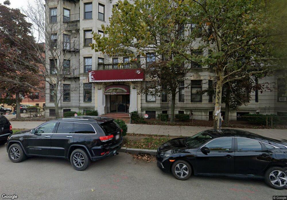
1254 Commonwealth Ave Unit 7 Allston, MA 02134
Commonwealth NeighborhoodEstimated Value: $412,000 - $499,612
3
Beds
1
Bath
9,999
Sq Ft
$47/Sq Ft
Est. Value
About This Home
Great location in lively Allston! Close to local bars and restaurants, Packard’s Corner, Kenmore Square, Fenway, and easy access to the entire city with nearby Green Line B train and multiple major MBTA bus routes! An easy commute to Boston University, Boston College, Harvard Business School, Northeastern, Simmons, Berklee, Emmauel, Wheelock, Mass College of Pharmacy, NE Conservatory, Mass College of Art, Wentworth, Boston Architectural College, Longwood Medical Area, and much more!
Ownership History
Date
Name
Owned For
Owner Type
Purchase Details
Closed on
Jun 27, 1997
Sold by
Feige Robert F
Bought by
Com Rt
Current Estimated Value
Create a Home Valuation Report for This Property
The Home Valuation Report is an in-depth analysis detailing your home's value as well as a comparison with similar homes in the area
Home Values in the Area
Average Home Value in this Area
Purchase History
| Date | Buyer | Sale Price | Title Company |
|---|---|---|---|
| Com Rt | $70,500 | -- |
Source: Public Records
Property History
| Date | Event | Price | List to Sale | Price per Sq Ft |
|---|---|---|---|---|
| 05/15/2025 05/15/25 | Off Market | $3,100 | -- | -- |
| 02/10/2025 02/10/25 | For Rent | $3,100 | -- | -- |
Tax History Compared to Growth
Tax History
| Year | Tax Paid | Tax Assessment Tax Assessment Total Assessment is a certain percentage of the fair market value that is determined by local assessors to be the total taxable value of land and additions on the property. | Land | Improvement |
|---|---|---|---|---|
| 2025 | $4,940 | $426,600 | $0 | $426,600 |
| 2024 | $3,909 | $358,600 | $0 | $358,600 |
| 2023 | $3,851 | $358,600 | $0 | $358,600 |
| 2022 | $3,681 | $338,300 | $0 | $338,300 |
| 2021 | $3,610 | $338,300 | $0 | $338,300 |
| 2020 | $3,526 | $333,900 | $0 | $333,900 |
| 2019 | $3,451 | $327,400 | $0 | $327,400 |
| 2018 | $3,208 | $306,100 | $0 | $306,100 |
| 2017 | $3,002 | $283,500 | $0 | $283,500 |
| 2016 | $2,861 | $260,100 | $0 | $260,100 |
| 2015 | $2,673 | $220,700 | $0 | $220,700 |
| 2014 | $2,524 | $200,600 | $0 | $200,600 |
Source: Public Records
Map
Nearby Homes
- 16 Royce Rd Unit 4
- 1269 Commonwealth Ave Unit 5
- 30 Glenville Ave Unit 1
- 69 Quint Ave Unit 7
- 28 Verndale St
- 21 Park Vale Ave Unit 2
- 53 Quint Ave
- 86 Glenville Ave Unit 2
- 91 Verndale St
- 1161 Commonwealth Ave Unit 1
- 15 Walbridge St Unit 3
- 116 Thorndike St Unit 1
- 116 Thorndike St
- 116 Thorndike St Unit 2
- 108 Columbia St Unit 1
- 140 Columbia St Unit 1
- 130 Glenville Ave
- 77 Thorndike St Unit 1
- 57 Brighton Ave Unit B
- 57 Brighton Ave Unit C
- 1254 Commonwealth Ave Unit 28
- 1254 Commonwealth Ave Unit 27
- 1254 Commonwealth Ave Unit 26
- 1254 Commonwealth Ave Unit 25
- 1254 Commonwealth Ave Unit 24
- 1254 Commonwealth Ave Unit 23
- 1254 Commonwealth Ave Unit 22
- 1254 Commonwealth Ave Unit 21
- 1254 Commonwealth Ave Unit 20
- 1254 Commonwealth Ave Unit 19
- 1254 Commonwealth Ave Unit 18
- 1254 Commonwealth Ave Unit 16
- 1254 Commonwealth Ave Unit 15
- 1254 Commonwealth Ave Unit 14
- 1254 Commonwealth Ave Unit 13
- 1254 Commonwealth Ave Unit 12
- 1254 Commonwealth Ave Unit 11
- 1254 Commonwealth Ave Unit 10
- 1254 Commonwealth Ave Unit 9
- 1254 Commonwealth Ave Unit 8