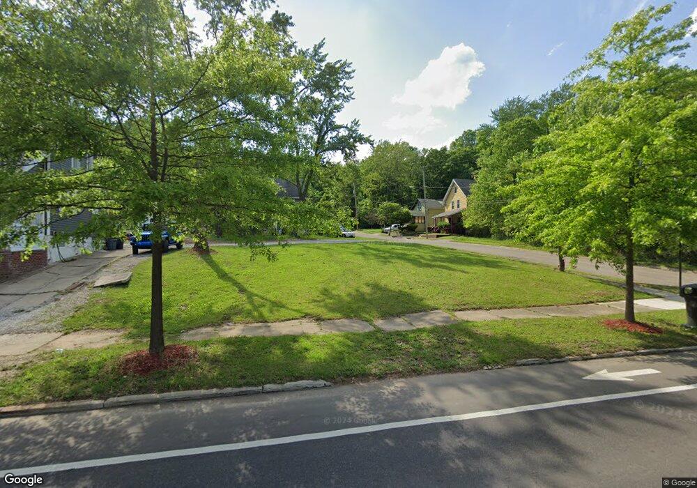
1254 Manchester Rd Akron, OH 44307
Sherbondy Hill NeighborhoodEstimated Value: $112,000 - $189,000
3
Beds
1
Bath
1,194
Sq Ft
$128/Sq Ft
Est. Value
About This Home
This home is located at 1254 Manchester Rd, Akron, OH 44307 and is currently estimated at $152,515, approximately $127 per square foot. 1254 Manchester Rd is a home located in Summit County with nearby schools including St. Bernard-St. Mary Elementary School.
Ownership History
Date
Name
Owned For
Owner Type
Purchase Details
Closed on
Feb 14, 2007
Sold by
Morrison Kenneth and Morrison Carol
Bought by
Mchargh Winston
Current Estimated Value
Home Financials for this Owner
Home Financials are based on the most recent Mortgage that was taken out on this home.
Original Mortgage
$67,500
Outstanding Balance
$49,121
Interest Rate
10.47%
Mortgage Type
Purchase Money Mortgage
Estimated Equity
$103,394
Purchase Details
Closed on
Feb 1, 2000
Sold by
Harding Gregory G and Harding Dena M
Bought by
Morrison Kenneth and Morrison Carol
Create a Home Valuation Report for This Property
The Home Valuation Report is an in-depth analysis detailing your home's value as well as a comparison with similar homes in the area
Home Values in the Area
Average Home Value in this Area
Purchase History
| Date | Buyer | Sale Price | Title Company |
|---|---|---|---|
| Mchargh Winston | $75,000 | Lawyers Title Ins | |
| Morrison Kenneth | $30,000 | -- |
Source: Public Records
Mortgage History
| Date | Status | Borrower | Loan Amount |
|---|---|---|---|
| Open | Mchargh Winston | $67,500 |
Source: Public Records
Tax History Compared to Growth
Tax History
| Year | Tax Paid | Tax Assessment Tax Assessment Total Assessment is a certain percentage of the fair market value that is determined by local assessors to be the total taxable value of land and additions on the property. | Land | Improvement |
|---|---|---|---|---|
| 2025 | $46,704 | $3,129 | $3,129 | -- |
| 2024 | $1,801 | $3,129 | $3,129 | -- |
| 2023 | $550 | $3,129 | $3,129 | -- |
| 2022 | $550 | $1,957 | $1,957 | $0 |
| 2021 | $2,000 | $1,957 | $1,957 | $0 |
| 2020 | $2,556 | $1,960 | $1,960 | $0 |
| 2019 | $2,293 | $2,730 | $2,730 | $0 |
| 2018 | $382 | $2,730 | $2,730 | $0 |
| 2017 | $2,029 | $2,730 | $2,730 | $0 |
| 2016 | $2,029 | $3,480 | $2,730 | $750 |
| 2015 | $2,029 | $5,740 | $2,730 | $3,010 |
| 2014 | $2,579 | $8,140 | $2,730 | $5,410 |
| 2013 | $2,890 | $8,530 | $2,730 | $5,800 |
Source: Public Records
Map
Nearby Homes
- 702 W Thornton St
- 738 Longview Ave
- 1174 La Croix Ave
- 1001 Celina Ave
- 699 Fultz St
- 1132 Bristol Terrace
- 776 Krause Ct
- 985 Diana Ave
- 737 Vernon Odom Blvd
- 721 Vernon Odom Blvd
- 677 Vernon Odom Blvd
- 0 East Ave
- 1063 Raymond St
- 955 Fess Ave
- 949 Raymond St
- 973 Tressel Ave
- 794 Ruth Ave
- 1368 Winton Ave
- 828 Marie Ave
- 1144 Vernon Odom Blvd
- 1260 Manchester Rd
- 1246 Manchester Rd
- 1264 Manchester Rd
- 1242 Manchester Rd
- 688 Blanche St
- 1238 Manchester Rd
- 1266 Manchester Rd
- 1249 Manchester Rd
- 685 Blanche St
- 1255 Manchester Rd
- 689 Blanche St
- 1234 Manchester Rd
- 1259 Manchester Rd
- 1270 Manchester Rd
- 1263 Manchester Rd
- 695 Blanche St
- 692 Blanche St
- 1265 Manchester Rd
- 1230 Manchester Rd
- 696 Blanche St
