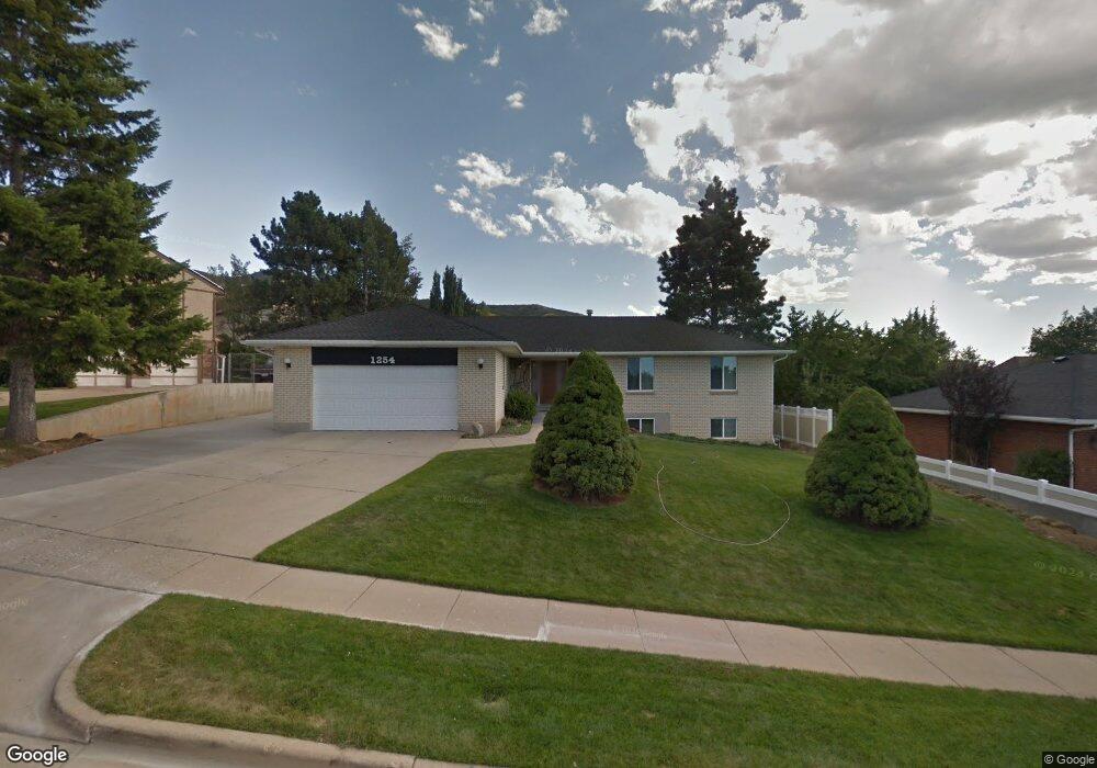
1254 Sundance Cir Bountiful, UT 84010
Estimated Value: $639,000 - $711,000
4
Beds
3
Baths
1,604
Sq Ft
$429/Sq Ft
Est. Value
About This Home
This home is located at 1254 Sundance Cir, Bountiful, UT 84010 and is currently estimated at $687,364, approximately $428 per square foot. 1254 Sundance Cir is a home located in Davis County with nearby schools including Valley View School, Mueller Park Junior High School, and Bountiful High School.
Ownership History
Date
Name
Owned For
Owner Type
Purchase Details
Closed on
Mar 31, 2014
Sold by
Daniels Robert P and Daniels Gloria L
Bought by
The Robert P And Gloria L Daniels Trust and Daniels Gloria L
Current Estimated Value
Create a Home Valuation Report for This Property
The Home Valuation Report is an in-depth analysis detailing your home's value as well as a comparison with similar homes in the area
Home Values in the Area
Average Home Value in this Area
Purchase History
| Date | Buyer | Sale Price | Title Company |
|---|---|---|---|
| The Robert P And Gloria L Daniels Trust | -- | None Available |
Source: Public Records
Tax History Compared to Growth
Tax History
| Year | Tax Paid | Tax Assessment Tax Assessment Total Assessment is a certain percentage of the fair market value that is determined by local assessors to be the total taxable value of land and additions on the property. | Land | Improvement |
|---|---|---|---|---|
| 2025 | $3,621 | $333,850 | $126,881 | $206,969 |
| 2024 | $3,382 | $322,300 | $117,088 | $205,212 |
| 2023 | $3,379 | $585,000 | $210,929 | $374,071 |
| 2022 | $3,446 | $327,250 | $112,127 | $215,123 |
| 2021 | $3,040 | $441,000 | $166,537 | $274,463 |
| 2020 | $2,678 | $390,000 | $151,671 | $238,329 |
| 2019 | $2,673 | $380,000 | $152,477 | $227,523 |
| 2018 | $2,521 | $353,000 | $141,221 | $211,779 |
| 2016 | $2,432 | $185,626 | $43,863 | $141,763 |
| 2015 | $2,398 | $172,921 | $43,863 | $129,058 |
| 2014 | $2,250 | $166,296 | $43,863 | $122,433 |
| 2013 | -- | $134,486 | $59,840 | $74,646 |
Source: Public Records
Map
Nearby Homes
- 1785 1450 E Unit 604
- 1399 E Millbrook Way
- 1820 S High Pointe Dr
- 1735 S Temple Ct Unit 203
- 1483 Maple Hills Dr
- 1596 E Millbrook Way
- 1960 S High Pointe Dr Unit 22
- 2321 S 900 E
- 771 E 1825 S
- 831 E San Simeon Way S
- 2063 Ridgehollow Dr
- 1761 S Davis Blvd
- 630 E 1800 S
- 652 E 2025 S
- 861 E Millbrook Way
- 2024 Bonneview Dr
- 530 E 1800 S Unit 51
- 2177 Bonneview Dr
- 573 E 1600 S
- 490 E 1800 S
- 1234 Sundance Cir
- 1270 Sundance Cir
- 1243 Beverly Way
- 1255 Sundance Cir
- 1216 Sundance Cir
- 1271 Sundance Cir
- 1235 Sundance Cir
- 1263 Beverly Way
- 1223 Beverly Way
- 1891 Browns Park Dr
- 1291 Sundance Cir
- 1283 Sundance Cir
- 1224 Beverly Way
- 1262 Cassidy Cir
- 1246 Cassidy Cir
- 1230 Cassidy Cir
- 1236 Beverly Way
- 1283 Beverly Way
- 1945 Browns Park Dr
- 1871 Browns Park Dr