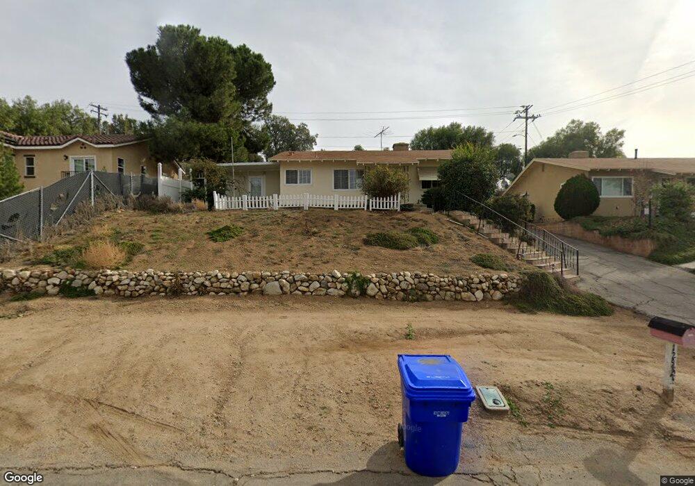
12547 10th St Yucaipa, CA 92399
Estimated Value: $448,807 - $490,000
About This Home
This home is located at 12547 10th St, Yucaipa, CA 92399 and is currently estimated at $464,202, approximately $444 per square foot. 12547 10th St is a home located in San Bernardino County with nearby schools including Dunlap Elementary, Park View Middle School, and Yucaipa High School.
Ownership History
We collect this data history from publicly available records. To have your information removed, we recommend requesting removal directly through your county’s website.
Purchase Details
Purchase Details
Home Financials for this Owner
Home Financials are based on the most recent Mortgage that was taken out on this home.Purchase Details
Home Financials for this Owner
Home Financials are based on the most recent Mortgage that was taken out on this home.Purchase Details
Home Financials for this Owner
Home Financials are based on the most recent Mortgage that was taken out on this home.Home Values in the Area
Average Home Value in this Area
Purchase History
We collect this data history from publicly available records. To have your information removed, we recommend requesting removal directly through your county’s website.
| Date | Buyer | Sale Price | Title Company |
|---|---|---|---|
| $445,898 | Stewart Title Of California | ||
| -- | Stewart Title Guaranty | ||
| -- | None Available | ||
| -- | Commonwealth Land Title Co |
Mortgage History
We collect this data history from publicly available records. To have your information removed, we recommend requesting removal directly through your county’s website.
| Date | Status | Borrower | Loan Amount |
|---|---|---|---|
| Previous Owner | $465,000 | ||
| Previous Owner | $46,950 |
Tax History
We collect this data history from publicly available records. To have your information removed, we recommend requesting removal directly through your county’s website.
| Year | Tax Paid | Tax Assessment Tax Assessment Total Assessment is a certain percentage of the fair market value that is determined by local assessors to be the total taxable value of land and additions on the property. | Land | Improvement |
|---|---|---|---|---|
| 2025 | $2,011 | $175,426 | $43,856 | $131,570 |
| 2024 | $1,950 | $171,986 | $42,996 | $128,990 |
| 2023 | $2,189 | $168,614 | $42,153 | $126,461 |
| 2022 | $2,137 | $165,307 | $41,326 | $123,981 |
| 2021 | $2,099 | $162,066 | $40,516 | $121,550 |
| 2020 | $2,104 | $160,405 | $40,101 | $120,304 |
| 2019 | $2,030 | $157,260 | $39,315 | $117,945 |
| 2018 | $1,814 | $154,176 | $38,544 | $115,632 |
| 2017 | $1,773 | $151,153 | $37,788 | $113,365 |
| 2016 | $1,749 | $148,189 | $37,047 | $111,142 |
| 2015 | $1,729 | $145,964 | $36,491 | $109,473 |
| 2014 | $1,694 | $143,105 | $35,776 | $107,329 |
Map
- 12823 Daisy Ct
- 33227 Avenue D
- 33155 Avenue D
- 33460 Brushy Hollow Dr
- 12862 Daisy Ct
- 32911 Avenue E
- 33070 Colorado St
- 33542 Pecan Ave
- 33288 Colorado St
- 33538 Colorado St
- 33574 Washington Dr
- 12144 12th St
- 33111 Eagle Point Dr
- 33763 Noreen Ln
- 11967 Southwind Way
- 33379 Wallace Way
- 32585 Avenue E
- 33410 Wallace Way
- 11907 Southwind Way
- 32568 Kentucky St
- 12550 10th St
- 33196 Avenue E
- 12540 10th St
- 12520 10th St
- 12549 10th St
- 12539 10th St
- 33174 Old Ave E
- 12531 10th St
- 33152 Avenue E
- 12521 Ruth Ln
- 12510 10th St
- 12498 Ruth Ln
- 12501 Ruth Ln
- 12439 Windsor Dr
- 12449 Windsor Dr
- 12457 Windsor Dr
- 12496 Ruth Ln
- 12423 Windsor Dr
- 12467 Windsor Dr
- 12431 Windsor Dr
Ask me questions while you tour the home.