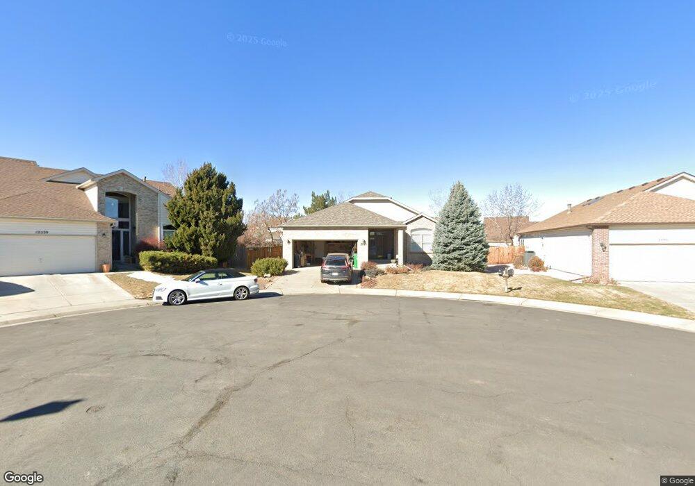
12549 Jason Ct Denver, CO 80234
Home Farm NeighborhoodEstimated Value: $706,802 - $801,000
4
Beds
3
Baths
3,084
Sq Ft
$243/Sq Ft
Est. Value
About This Home
This home is located at 12549 Jason Ct, Denver, CO 80234 and is currently estimated at $750,451, approximately $243 per square foot. 12549 Jason Ct is a home located in Adams County with nearby schools including Arapahoe Ridge Elementary School, Silver Hills Middle School, and Mountain Range High School.
Ownership History
Date
Name
Owned For
Owner Type
Purchase Details
Closed on
Oct 4, 2019
Sold by
Wenger Robert W and Wenger Roberta
Bought by
Sharko Joseph and Twigg Kristina
Current Estimated Value
Home Financials for this Owner
Home Financials are based on the most recent Mortgage that was taken out on this home.
Original Mortgage
$367,500
Outstanding Balance
$321,948
Interest Rate
3.5%
Mortgage Type
New Conventional
Estimated Equity
$428,503
Purchase Details
Closed on
Jul 21, 1995
Sold by
Renaissance Homes Inc
Bought by
Wenger Robert W and Wenger Roberta
Create a Home Valuation Report for This Property
The Home Valuation Report is an in-depth analysis detailing your home's value as well as a comparison with similar homes in the area
Home Values in the Area
Average Home Value in this Area
Purchase History
| Date | Buyer | Sale Price | Title Company |
|---|---|---|---|
| Sharko Joseph | $490,000 | Fidelity National Title | |
| Wenger Robert W | $180,491 | -- |
Source: Public Records
Mortgage History
| Date | Status | Borrower | Loan Amount |
|---|---|---|---|
| Open | Sharko Joseph | $367,500 |
Source: Public Records
Tax History Compared to Growth
Tax History
| Year | Tax Paid | Tax Assessment Tax Assessment Total Assessment is a certain percentage of the fair market value that is determined by local assessors to be the total taxable value of land and additions on the property. | Land | Improvement |
|---|---|---|---|---|
| 2024 | $4,709 | $44,940 | $9,000 | $35,940 |
| 2023 | $4,659 | $51,550 | $9,740 | $41,810 |
| 2022 | $4,078 | $38,800 | $10,010 | $28,790 |
| 2021 | $4,212 | $38,800 | $10,010 | $28,790 |
| 2020 | $3,008 | $35,410 | $10,300 | $25,110 |
| 2019 | $3,014 | $35,410 | $10,300 | $25,110 |
| 2018 | $2,396 | $28,930 | $7,200 | $21,730 |
| 2017 | $2,162 | $28,930 | $7,200 | $21,730 |
| 2016 | $1,957 | $27,030 | $6,770 | $20,260 |
| 2015 | $1,954 | $19,060 | $4,770 | $14,290 |
| 2014 | $1,750 | $16,550 | $3,980 | $12,570 |
Source: Public Records
Map
Nearby Homes
- 12671 Home Farm Ln
- 12705 Kalamath Ct
- 12705 Home Farm Dr
- 834 W 128th Place
- 920 W 128th Place
- 930 W 128th Place
- 851 W 128th Place
- 811 W 128th Place
- 931 W 128th Place
- 935 W 128th Place
- 975 W 128th Place
- 12173 Melody Dr Unit 303
- 12151 Melody Dr Unit 202
- 12141 Melody Dr Unit 302
- 12901 Galapago St
- 12166 Melody Dr Unit 202
- 12172 Melody Dr Unit 302
- 12186 Melody Dr Unit 104
- 12174 Melody Dr Unit 303
- 12143 Melody Dr Unit 103
- 12539 Jason Ct
- 12559 Jason Ct
- 910 Home Farm Cir
- 930 Home Farm Cir
- 923 W 124th Dr
- 12538 Jason Ct
- 943 W 124th Dr
- 903 W 124th Dr
- 12548 Jason Ct
- 887 Home Farm Ave
- 12558 Jason Ct
- 933 West Dr
- 940 Home Farm Cir
- 883 W 124th Dr
- 953 W 124th Dr
- 843 W 124th Dr
- 12491 Jason Ct
- 823 W 124th Dr
- 857 Home Farm Ave
- 803 W 124th Dr