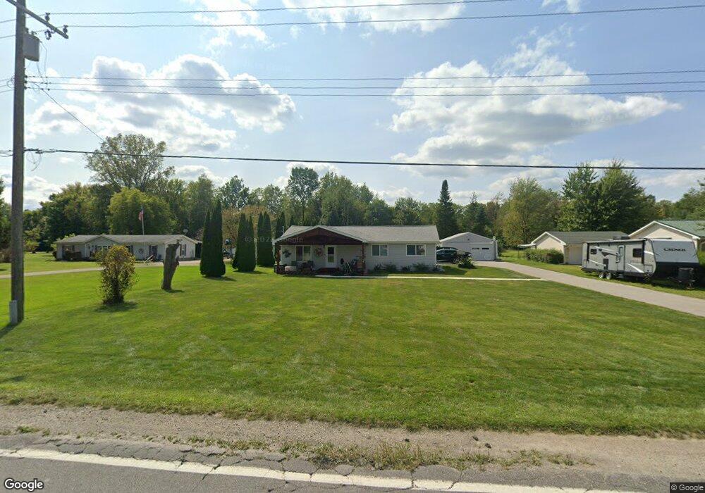
1255 Allen Rd Kimball, MI 48074
Estimated Value: $167,553 - $254,000
3
Beds
1
Bath
1,170
Sq Ft
$188/Sq Ft
Est. Value
About This Home
This home is located at 1255 Allen Rd, Kimball, MI 48074 and is currently estimated at $219,888, approximately $187 per square foot. 1255 Allen Rd is a home located in St. Clair County with nearby schools including Kimball Elementary School, Central Middle School, and Port Huron High School.
Ownership History
Date
Name
Owned For
Owner Type
Purchase Details
Closed on
Jun 1, 2017
Sold by
Winters Judy A
Bought by
Winters Trust
Current Estimated Value
Purchase Details
Closed on
Oct 14, 2011
Sold by
Winters Paul D and Winters Judy A
Bought by
Winters Paul D and Winters Judy A
Purchase Details
Closed on
Dec 1, 2009
Sold by
Wells Fargo Bank Na
Bought by
Winters Paul D
Purchase Details
Closed on
Feb 26, 2009
Sold by
Erdman Derryl James
Bought by
Wells Fargo Bank Na
Create a Home Valuation Report for This Property
The Home Valuation Report is an in-depth analysis detailing your home's value as well as a comparison with similar homes in the area
Home Values in the Area
Average Home Value in this Area
Purchase History
| Date | Buyer | Sale Price | Title Company |
|---|---|---|---|
| Winters Trust | -- | -- | |
| Winters Paul D | -- | None Available | |
| Winters Paul D | $25,650 | Fidelity National Title | |
| Wells Fargo Bank Na | $128,559 | None Available |
Source: Public Records
Tax History
| Year | Tax Paid | Tax Assessment Tax Assessment Total Assessment is a certain percentage of the fair market value that is determined by local assessors to be the total taxable value of land and additions on the property. | Land | Improvement |
|---|---|---|---|---|
| 2025 | $764 | $70,300 | $0 | $0 |
| 2024 | $742 | $68,900 | $0 | $0 |
| 2023 | $680 | $66,400 | $0 | $0 |
| 2022 | $1,170 | $62,500 | $0 | $0 |
| 2020 | $1,830 | $50,900 | $50,900 | $0 |
| 2019 | $1,954 | $46,800 | $0 | $0 |
| 2018 | $1,754 | $43,000 | $0 | $0 |
| 2016 | $1,273 | $42,900 | $0 | $0 |
| 2015 | -- | $39,500 | $39,500 | $0 |
| 2014 | -- | $42,700 | $42,700 | $0 |
| 2013 | -- | $43,100 | $0 | $0 |
Source: Public Records
Map
Nearby Homes
- 1091 Allen Rd
- 5117 Ravenswood Rd
- 1604 Allen Rd
- 0 Ravenswood Rd Unit 20251017048
- 0000 Ravenswood Rd
- V/L Allen
- 1786 Omar Rd
- 00 Range Rd
- 1405 Range Rd
- 183 Nevada Ave
- 656 Wadhams Rd
- 265 Westbrook Ct
- 174 Meadow Ln
- 153 Meadow Ln
- 0000 Wisconsin Wisconsin Ave
- 240 Oregon Ave
- 42 Liberty Ave
- 104 Oldbrook Ln
- 000 Montana Ave
- 277 Liberty Ave
Your Personal Tour Guide
Ask me questions while you tour the home.