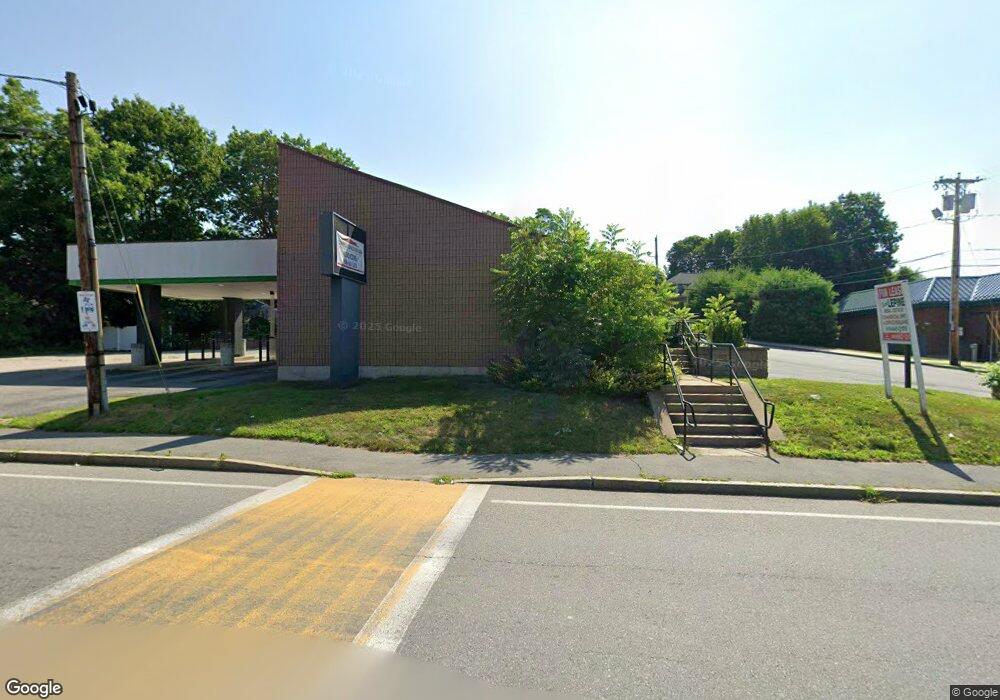
1255 Bridge St Dracut, MA 01826
Studio
--
Bath
2,575
Sq Ft
29,185
Sq Ft Lot
About This Home
This home is located at 1255 Bridge St, Dracut, MA 01826. 1255 Bridge St is a home located in Middlesex County with nearby schools including Greenmont Avenue School, Richardson Middle School, and Dracut Senior High School.
Ownership History
Date
Name
Owned For
Owner Type
Purchase Details
Closed on
Mar 4, 2020
Sold by
Td Bank Na
Bought by
1255 Bridge Street Llc
Home Financials for this Owner
Home Financials are based on the most recent Mortgage that was taken out on this home.
Original Mortgage
$412,500
Outstanding Balance
$365,328
Interest Rate
3.5%
Mortgage Type
New Conventional
Purchase Details
Closed on
Jun 8, 1994
Sold by
Fdic
Bought by
Family Mutual Sb
Create a Home Valuation Report for This Property
The Home Valuation Report is an in-depth analysis detailing your home's value as well as a comparison with similar homes in the area
Home Values in the Area
Average Home Value in this Area
Purchase History
| Date | Buyer | Sale Price | Title Company |
|---|---|---|---|
| 1255 Bridge Street Llc | $550,000 | None Available | |
| Family Mutual Sb | $290,000 | -- |
Source: Public Records
Mortgage History
| Date | Status | Borrower | Loan Amount |
|---|---|---|---|
| Open | 1255 Bridge Street Llc | $412,500 |
Source: Public Records
Tax History
| Year | Tax Paid | Tax Assessment Tax Assessment Total Assessment is a certain percentage of the fair market value that is determined by local assessors to be the total taxable value of land and additions on the property. | Land | Improvement |
|---|---|---|---|---|
| 2025 | $8,092 | $799,600 | $327,000 | $472,600 |
| 2024 | $7,808 | $747,200 | $311,400 | $435,800 |
| 2023 | $8,052 | $695,300 | $270,600 | $424,700 |
| 2022 | $8,083 | $657,700 | $246,000 | $411,700 |
| 2021 | $8,264 | $635,200 | $223,500 | $411,700 |
| 2020 | $8,740 | $654,700 | $216,800 | $437,900 |
| 2019 | $8,779 | $638,500 | $206,500 | $432,000 |
| 2018 | $8,917 | $630,600 | $206,500 | $424,100 |
| 2017 | $8,971 | $630,600 | $206,500 | $424,100 |
| 2016 | $8,946 | $602,800 | $198,500 | $404,300 |
| 2015 | $9,000 | $602,800 | $198,500 | $404,300 |
| 2014 | $8,298 | $572,700 | $198,500 | $374,200 |
Source: Public Records
Map
Nearby Homes
- 175 Willard St Unit 9
- 306 Aiken Ave Unit 16
- 40 Arlington Ave
- 1391 Bridge St
- 69 Arlington St
- 23 18th St
- 700 Robbins Ave Unit 6
- 97 Whitney Ave
- 35 Whitney Ave Unit 33
- 668 Robbins Ave Unit 1
- 345 Hildreth St Unit 14
- 35 Thissell Ave
- 367 Hildreth St Unit 14
- 417 Hildreth St Unit 2
- 417 Hildreth St Unit 30
- 15 Dana St
- 551 Hildreth St Unit 10
- 26 July St
- 4 Hazelwood Ave Unit 12
- 25 Tobey Rd Unit 57
- 1282 Bridge St
- 2 Emerson Ave
- 1 Emerson Ave
- 1250 Bridge St
- 1275 Bridge St
- 15 Emerson Ave
- 1276 Bridge St
- 26 Emerson Ave
- 21 Emerson Ave
- 1278 Bridge St
- 11 Arthur Ave
- Lot A Emerson Ave
- 1284 Bridge St
- 25 Arthur Ave
- 35 Emerson Ave
- 1230 Bridge St
- 1230 Bridge St Unit 1stFlr Left
- 1287 Bridge St
- 38 Emerson Ave
- 1288 Bridge St
Your Personal Tour Guide
Ask me questions while you tour the home.