1255 High St Block Island, RI 02807
Estimated Value: $1,303,691 - $1,787,000
4
Beds
3
Baths
1,536
Sq Ft
$941/Sq Ft
Est. Value
About This Home
This home is located at 1255 High St, Block Island, RI 02807 and is currently estimated at $1,445,423, approximately $941 per square foot. 1255 High St is a home with nearby schools including Block Island School.
Ownership History
Date
Name
Owned For
Owner Type
Purchase Details
Closed on
Nov 15, 2021
Sold by
Peter M Monje Lt and Monje
Bought by
Kristine A Monje Lt and Monje
Current Estimated Value
Home Financials for this Owner
Home Financials are based on the most recent Mortgage that was taken out on this home.
Original Mortgage
$175,000
Outstanding Balance
$160,491
Interest Rate
3.05%
Mortgage Type
Unknown
Estimated Equity
$1,284,932
Purchase Details
Closed on
Feb 26, 2013
Sold by
Monje Peter and Monje Kristine
Bought by
Monje Peter
Home Financials for this Owner
Home Financials are based on the most recent Mortgage that was taken out on this home.
Original Mortgage
$266,500
Interest Rate
3.36%
Create a Home Valuation Report for This Property
The Home Valuation Report is an in-depth analysis detailing your home's value as well as a comparison with similar homes in the area
Home Values in the Area
Average Home Value in this Area
Purchase History
| Date | Buyer | Sale Price | Title Company |
|---|---|---|---|
| Kristine A Monje Lt | -- | None Available | |
| Monje Peter | -- | -- | |
| Monje Peter | -- | -- |
Source: Public Records
Mortgage History
| Date | Status | Borrower | Loan Amount |
|---|---|---|---|
| Open | Kristine A Monje Lt | $175,000 | |
| Closed | Kristine A Monje Lt | $250,000 | |
| Previous Owner | Monje Peter | $266,500 | |
| Previous Owner | Monje Peter | $255,000 |
Source: Public Records
Tax History Compared to Growth
Tax History
| Year | Tax Paid | Tax Assessment Tax Assessment Total Assessment is a certain percentage of the fair market value that is determined by local assessors to be the total taxable value of land and additions on the property. | Land | Improvement |
|---|---|---|---|---|
| 2024 | $4,342 | $786,600 | $285,400 | $501,200 |
| 2023 | $4,623 | $767,900 | $285,400 | $482,500 |
| 2022 | $3,239 | $457,440 | $253,600 | $203,840 |
| 2021 | $3,065 | $457,440 | $253,600 | $203,840 |
| 2020 | $2,909 | $457,440 | $253,600 | $203,840 |
| 2019 | $2,818 | $457,440 | $253,600 | $203,840 |
| 2018 | $2,833 | $476,080 | $248,080 | $228,000 |
| 2017 | $2,790 | $476,080 | $248,080 | $228,000 |
| 2016 | $2,723 | $476,080 | $248,080 | $228,000 |
| 2015 | $3,318 | $602,100 | $310,100 | $292,000 |
| 2014 | $3,215 | $602,100 | $310,100 | $292,000 |
| 2013 | $3,156 | $605,700 | $310,100 | $295,600 |
Source: Public Records
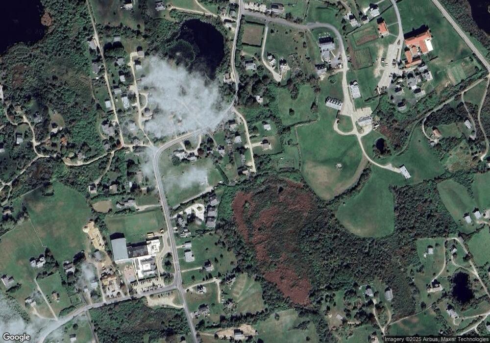
Map
Nearby Homes
- 1806 High St Unit 3
- 1289 High St
- 194 Pilot Hill Rd
- 256 High St
- 0 Spring St
- 0 Southeast Rd Unit 1381406
- 481 Old Town Rd
- 0 Pilot Hill Rd
- 1455 Payne Rd
- 1661 Sand Pond Rd
- 804 Mohegan Trail
- 1087 Lakeside Dr
- 0 Mohegan Trail
- 557 Center Rd
- 1035 Mohegan Trail
- 1448 Mohegan Trail
- 540 Off Center Rd
- 1194 Center Rd
- 1501 Beacon Hill Rd
- 0 W Side Rd Unit 1376234
- 1256 High St
- 1257 High St
- 368 High St
- 0 High View Ln Unit 1076676
- 0 High View Ln Unit 1267605
- 189 High View Ln
- 1691 High St
- 1802 High St Unit 7
- 1253 High St
- 366 High St
- 0 High St Unit 1299997
- 768 High St
- 1801 High St
- 1801 High St Unit 8
- 367 High St
- 370 High St
- 365 High St
- 382 High St
- 1803 High St Unit 3
- 1805 High St