Estimated Value: $378,000 - $603,245
--
Bed
--
Bath
2,624
Sq Ft
$187/Sq Ft
Est. Value
About This Home
This home is located at 1255 Langston Rd, Perry, GA 31069 and is currently estimated at $490,623, approximately $186 per square foot. 1255 Langston Rd is a home with nearby schools including Tucker Elementary School, Perry Middle School, and Perry High School.
Ownership History
Date
Name
Owned For
Owner Type
Purchase Details
Closed on
Nov 8, 1996
Sold by
Blackstock William D and Blackstock Vivian
Bought by
Abs Farms Inc
Current Estimated Value
Purchase Details
Closed on
Aug 16, 1995
Sold by
Carr Charlene R and Carr Charles P
Bought by
Abs Farms Inc
Purchase Details
Closed on
Dec 31, 1992
Sold by
Carr Charlene R
Bought by
Carr Charlene R and Carr Charles P
Purchase Details
Closed on
Mar 9, 1992
Sold by
Hodge Mattilu S
Bought by
Carr Charles P and Carr Charlene R
Purchase Details
Closed on
Jun 16, 1988
Sold by
Hodge Warren B
Bought by
Hodge Mattilu S
Purchase Details
Closed on
Nov 11, 1966
Sold by
Hodge Mary B
Bought by
Hodge Warren B
Purchase Details
Closed on
Mar 4, 1933
Bought by
Hodge Mary B
Create a Home Valuation Report for This Property
The Home Valuation Report is an in-depth analysis detailing your home's value as well as a comparison with similar homes in the area
Home Values in the Area
Average Home Value in this Area
Purchase History
| Date | Buyer | Sale Price | Title Company |
|---|---|---|---|
| Abs Farms Inc | $3,000 | -- | |
| Abs Farms Inc | $127,000 | -- | |
| Carr Charlene R | -- | -- | |
| Carr Charles P | $60,500 | -- | |
| Hodge Mattilu S | -- | -- | |
| Hodge Warren B | -- | -- | |
| Hodge Mary B | -- | -- |
Source: Public Records
Tax History Compared to Growth
Tax History
| Year | Tax Paid | Tax Assessment Tax Assessment Total Assessment is a certain percentage of the fair market value that is determined by local assessors to be the total taxable value of land and additions on the property. | Land | Improvement |
|---|---|---|---|---|
| 2024 | $4,891 | $204,480 | $32,680 | $171,800 |
| 2023 | $4,551 | $188,284 | $32,680 | $155,604 |
| 2022 | $4,551 | $188,284 | $32,680 | $155,604 |
| 2021 | $4,448 | $183,080 | $32,680 | $150,400 |
| 2020 | $4,421 | $181,120 | $32,680 | $148,440 |
| 2019 | $4,421 | $181,120 | $32,680 | $148,440 |
| 2018 | $4,421 | $181,120 | $32,680 | $148,440 |
| 2017 | $4,425 | $181,120 | $32,680 | $148,440 |
| 2016 | $4,432 | $181,120 | $32,680 | $148,440 |
| 2015 | $4,441 | $181,120 | $32,680 | $148,440 |
| 2014 | -- | $181,120 | $32,680 | $148,440 |
| 2013 | -- | $215,244 | $32,680 | $182,564 |
Source: Public Records
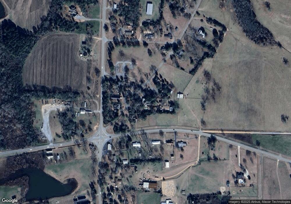
Map
Nearby Homes
- 125 Langston Cir
- 15 Georgia 26
- 0 Hodge Rd Unit 254963
- TRACT C-1A AND Kersey Rd
- TRACTC-1B &C1A Kersey Rd Unit TRACT C-1B LL 216 LD
- 317 Georgia 26
- 355 Georgia 26
- 0 SE Gilbert (74+ - Acres) Rd Unit 245590
- Lot 5 Whitfield Rd
- Lot 7 Whitfield Rd
- 0 Whitfield Rd Unit 253499
- Lot 1 Whitfield Rd
- Lot 6 Whitfield Rd
- 0 Whitfield Rd Unit 19933971
- Lot 7 Whitfield Rd Unit Elko GA 31025
- Lot 6 Whitfield Rd Unit Elko GA 31025
- Lot 5 Whitfield Rd Unit Elko GA 31025
- 200 Felton Rd
- 419 Whitworth Rd
- 468 Georgia 26
- S Langston Cir
- 101 Langston Cir
- 234 Langston Cir
- 104 Ga Highway 26 E
- 108 Ga Highway 26 E
- 110 Ga Highway 26 E
- 0 Highway 41 & Langston
- 112 Ga Highway 26 E
- 3281 Us Highway 41 S
- 2802 U S 41
- 2802 Us Highway 41
- 2804 Us Highway 41
- 2804 Us Highway 41
- 134 Langston Cir
- 201 Langston Cir
- 2801 U S 41
- 2806 Us Highway 41
- 103 Ga Highway 26
- 17 Georgia 26
- 2808 Us Highway 41