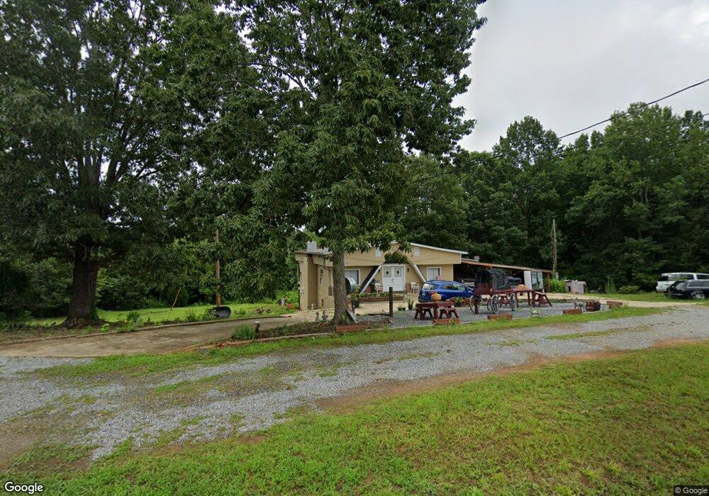
1255 N Powerhouse Rd Morganton, NC 28655
Lake James NeighborhoodEstimated Value: $191,000 - $584,000
2
Beds
1
Bath
2,014
Sq Ft
$159/Sq Ft
Est. Value
About This Home
This home is located at 1255 N Powerhouse Rd, Morganton, NC 28655 and is currently estimated at $319,599, approximately $158 per square foot. 1255 N Powerhouse Rd is a home with nearby schools including Oak Hill Elementary School, Table Rock Middle School, and Freedom High School.
Ownership History
Date
Name
Owned For
Owner Type
Purchase Details
Closed on
Oct 19, 2022
Sold by
Mcmahan David Glen and Tok Hui
Bought by
Morgan Dwight Lee and Morgan Maria Graciela
Current Estimated Value
Purchase Details
Closed on
Sep 26, 2019
Sold by
Colemen Douglass S
Bought by
Mcmahan David and Mcmahan Tokhui
Purchase Details
Closed on
Feb 25, 2010
Sold by
Thombs Willa Gerald
Bought by
Coleman Douglass S
Create a Home Valuation Report for This Property
The Home Valuation Report is an in-depth analysis detailing your home's value as well as a comparison with similar homes in the area
Home Values in the Area
Average Home Value in this Area
Purchase History
| Date | Buyer | Sale Price | Title Company |
|---|---|---|---|
| Morgan Dwight Lee | $150,000 | -- | |
| Mcmahan David | $16,000 | None Available | |
| Coleman Douglass S | -- | None Available |
Source: Public Records
Tax History
| Year | Tax Paid | Tax Assessment Tax Assessment Total Assessment is a certain percentage of the fair market value that is determined by local assessors to be the total taxable value of land and additions on the property. | Land | Improvement |
|---|---|---|---|---|
| 2025 | $870 | $121,177 | $15,703 | $105,474 |
| 2024 | $872 | $118,737 | $15,703 | $103,034 |
| 2023 | $872 | $118,737 | $15,703 | $103,034 |
| 2022 | $858 | $97,627 | $15,703 | $81,924 |
| 2021 | $852 | $97,627 | $15,703 | $81,924 |
| 2020 | $848 | $97,627 | $15,703 | $81,924 |
| 2019 | $995 | $119,085 | $15,703 | $103,382 |
| 2018 | $923 | $109,831 | $15,125 | $94,706 |
| 2017 | $921 | $109,831 | $15,125 | $94,706 |
| 2016 | $900 | $109,831 | $15,125 | $94,706 |
| 2015 | $897 | $109,831 | $15,125 | $94,706 |
Source: Public Records
Map
Nearby Homes
- 3375 Nc 126
- 4333 Kirby Dr Unit 10,14,4
- 0 Boyd Moore Ave Unit CAR3848175
- 1057 Hawksbill Dr
- 1060 Hawksbill Dr
- 4617 Harbor View Terrace
- 4407 Georgia Pines Rd
- 4634 Harbor View Terrace
- 1504 Brentwood Place
- 1499 Brentwood Place
- 2033 Starlight Ln Unit 111
- 1600 Lillians Point Ct Unit 33
- 1076 Browning View Rd
- 1416 Southpointe Dr Unit 67
- 1386 Southpointe Dr
- 1726 Waterford Way
- 2556 Nc 126
- 1590 Hawks Pointe Ln
- 1277 Northview Dr
- 5619 Channel View Cove
- 1266 N Powerhouse Rd
- 1293 N Powerhouse Rd Unit 1323
- 1243 N Powerhouse Rd
- 3325 Nc 126
- 3221 Nc 126
- 3221 N Carolina 126
- 3221 Nc 126
- 3268 N Carolina 126
- 3268 Nc 126
- 3385 Nc 126
- 3198 Nc 126
- 3383 Nc 126
- 3395 Nc 126
- 1244 Lake Breeze Dr
- 4428 Kirby Dr
- V/L Lake Breeze Dr Unit 25
- V/L 25 Lake Breeze Dr
- 4620 Cobb Ave
- 1363 N Powerhouse Rd Unit 1371
- 1244 Lake Breeze Ct
Your Personal Tour Guide
Ask me questions while you tour the home.