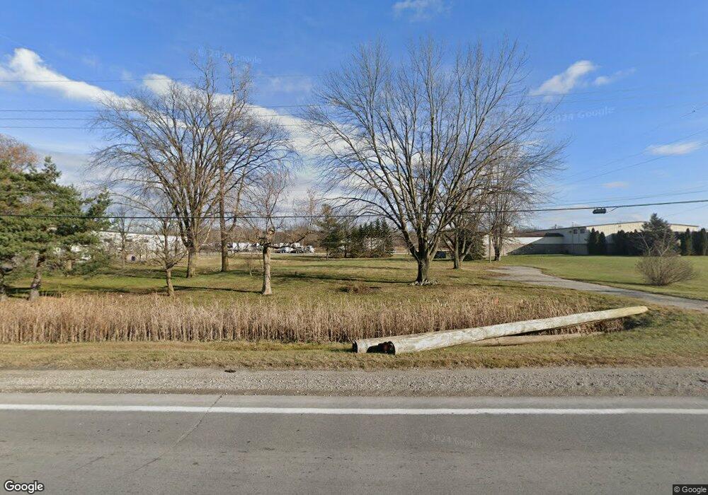
1255 S Range Rd Saint Clair, MI 48079
Estimated Value: $132,000 - $222,000
3
Beds
1
Bath
1,736
Sq Ft
$105/Sq Ft
Est. Value
About This Home
This home is located at 1255 S Range Rd, Saint Clair, MI 48079 and is currently estimated at $181,667, approximately $104 per square foot. 1255 S Range Rd is a home located in St. Clair County with nearby schools including Marysville High School and Blue Water SDA Elementary School.
Ownership History
Date
Name
Owned For
Owner Type
Purchase Details
Closed on
Mar 1, 2012
Sold by
Seaway Community Bank
Bought by
H & W Holdings Llc
Current Estimated Value
Purchase Details
Closed on
Apr 21, 2011
Sold by
Donald P & Sandra J Lickwala Llc
Bought by
Seaway Community Bank
Purchase Details
Closed on
Apr 14, 2011
Sold by
Donald P & Sandra J Lickwala Llc
Bought by
Seaway Community Bank
Purchase Details
Closed on
Jan 4, 2007
Sold by
Strzalkowski Stanley J and Strzalkowski Carol Grant
Bought by
Lickwala Donald P and Lickwala J
Home Financials for this Owner
Home Financials are based on the most recent Mortgage that was taken out on this home.
Original Mortgage
$180,600
Interest Rate
6.21%
Mortgage Type
Future Advance Clause Open End Mortgage
Create a Home Valuation Report for This Property
The Home Valuation Report is an in-depth analysis detailing your home's value as well as a comparison with similar homes in the area
Home Values in the Area
Average Home Value in this Area
Purchase History
| Date | Buyer | Sale Price | Title Company |
|---|---|---|---|
| H & W Holdings Llc | $36,000 | None Available | |
| Seaway Community Bank | $63,152 | None Available | |
| Seaway Community Bank | $20,759 | None Available | |
| Lickwala Donald P | $178,000 | None Available |
Source: Public Records
Mortgage History
| Date | Status | Borrower | Loan Amount |
|---|---|---|---|
| Previous Owner | Lickwala Donald P | $180,600 |
Source: Public Records
Tax History Compared to Growth
Tax History
| Year | Tax Paid | Tax Assessment Tax Assessment Total Assessment is a certain percentage of the fair market value that is determined by local assessors to be the total taxable value of land and additions on the property. | Land | Improvement |
|---|---|---|---|---|
| 2025 | $253 | $32,300 | $0 | $0 |
| 2024 | $246 | $26,100 | $0 | $0 |
| 2023 | $234 | $24,000 | $0 | $0 |
| 2022 | $223 | $19,700 | $0 | $0 |
| 2020 | $866 | $19,500 | $19,500 | $0 |
| 2019 | $1,947 | $66,900 | $0 | $0 |
| 2018 | $2,463 | $66,900 | $0 | $0 |
| 2017 | $2,439 | $54,500 | $0 | $0 |
| 2016 | $541 | $54,500 | $0 | $0 |
| 2015 | -- | $54,300 | $54,300 | $0 |
| 2014 | -- | $52,000 | $52,000 | $0 |
| 2013 | -- | $46,100 | $0 | $0 |
Source: Public Records
Map
Nearby Homes
- 4170 Neuman Rd
- 4158 Neuman Rd
- 50 Golfside Dr
- 1931 Pug Rd
- 2516 River Rd
- 2118 N River Rd
- 1715 River Rd 39 Rd Unit 39
- 1715 River Rd Unit 77
- 1715 River Rd Unit 41
- 50 Mack Ave Unit 127
- 3179 Regatta Ln
- 2226 River Rd
- 3072 Regatta Ln
- 3071 Regatta Ln
- 4147 River Pointe Dr
- 3059 Regatta Ln
- 955 Covington Ct
- 1145 O'Conner St
- 1948 Michigan Ave
- 740 Highland Dr
- 1252 S Range Rd
- 1293 S Range Rd Unit C
- 1293 S Range Rd
- 1293 S Range Rd Unit F
- 1266 S Range Rd
- V/L S Range Rd
- 1308 S Range Rd
- 1343 S Range Rd
- 1230 S Range Rd
- 4300 E Range Ct
- 4300 E Range Ct
- 1188 S Range Rd
- 0 Range Unit 4362114
- 0 Range Unit 4512609
- 0 Range Unit G31146368
- 0 Range Unit G31186120
- 0 Range Unit G31228059
- 1139 S Range Rd
- 1136 S Range Rd
- 1350 S Range Rd
