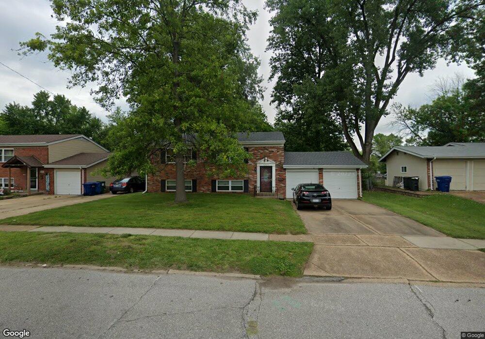
1255 Saint Anthony Ln Florissant, MO 63033
Estimated Value: $178,000 - $202,000
4
Beds
3
Baths
864
Sq Ft
$222/Sq Ft
Est. Value
About This Home
This home is located at 1255 Saint Anthony Ln, Florissant, MO 63033 and is currently estimated at $191,539, approximately $221 per square foot. 1255 Saint Anthony Ln is a home located in St. Louis County with nearby schools including Parker Road Elementary School, Cross Keys Middle School, and McCluer North High School.
Ownership History
Date
Name
Owned For
Owner Type
Purchase Details
Closed on
Jan 13, 2009
Sold by
Citimortgage Inc
Bought by
Colonna Andrew R
Current Estimated Value
Purchase Details
Closed on
Jun 30, 2000
Sold by
Childers Karen J and Childers Karen
Bought by
Koebel Theresa A
Home Financials for this Owner
Home Financials are based on the most recent Mortgage that was taken out on this home.
Original Mortgage
$89,826
Interest Rate
8.56%
Create a Home Valuation Report for This Property
The Home Valuation Report is an in-depth analysis detailing your home's value as well as a comparison with similar homes in the area
Home Values in the Area
Average Home Value in this Area
Purchase History
| Date | Buyer | Sale Price | Title Company |
|---|---|---|---|
| Colonna Andrew R | $64,900 | U S Title Hampton | |
| Koebel Theresa A | $89,900 | -- |
Source: Public Records
Mortgage History
| Date | Status | Borrower | Loan Amount |
|---|---|---|---|
| Previous Owner | Koebel Theresa A | $89,826 |
Source: Public Records
Tax History Compared to Growth
Tax History
| Year | Tax Paid | Tax Assessment Tax Assessment Total Assessment is a certain percentage of the fair market value that is determined by local assessors to be the total taxable value of land and additions on the property. | Land | Improvement |
|---|---|---|---|---|
| 2025 | $2,374 | $33,160 | $6,690 | $26,470 |
| 2024 | $2,374 | $30,690 | $5,020 | $25,670 |
| 2023 | $2,366 | $30,690 | $5,020 | $25,670 |
| 2022 | $1,964 | $22,330 | $5,020 | $17,310 |
| 2021 | $1,931 | $22,330 | $5,020 | $17,310 |
| 2020 | $1,767 | $19,210 | $3,860 | $15,350 |
| 2019 | $1,733 | $19,210 | $3,860 | $15,350 |
| 2018 | $1,728 | $17,120 | $2,130 | $14,990 |
| 2017 | $1,719 | $17,120 | $2,130 | $14,990 |
| 2016 | $1,673 | $16,230 | $2,130 | $14,100 |
| 2015 | $1,683 | $16,230 | $2,130 | $14,100 |
| 2014 | $1,499 | $14,900 | $3,900 | $11,000 |
Source: Public Records
Map
Nearby Homes
- 265 Waterford Dr
- 375 Waterford Dr
- 415 Waterford Dr
- 190 Coteau Ln
- 3140 Saint Catherine St
- 12 Country Ln
- 2 Carson Ct
- 130 Dauphin Ln
- 670 Hargrove Ln
- 2505 Saint Catherine St
- 2320 Allen Dr
- 805 Derhake Rd
- 785 Bobbins Ln
- 100 Broadmere Dr
- 750 Robinwood Dr
- 3435 Saint Catherine St
- 2340 Saint Catherine St
- 2240 Brook Dr
- 3515 Saint Catherine St
- 105 Capri Dr
- 1265 Saint Anthony Ln
- 1245 Saint Anthony Ln
- 3030 Kingsley Dr
- 1275 Saint Anthony Ln
- 1225 Saint Anthony Ln
- 3020 Kingsley Dr
- 1240 Saint Anthony Ln
- 290 Comanche Ln
- 3010 Kingsley Dr
- 3050 Kingsley Dr
- 1295 Saint Anthony Ln
- 320 Waterford Dr
- 1270 Saint Anthony Ln
- 3060 Kingsley Dr
- 275 Comanche Ln
- 3000 Kingsley Dr
- 1210 Saint Anthony Ln
- 1305 Saint Anthony Ln
- 270 Comanche Ln
- 1290 Saint Anthony Ln