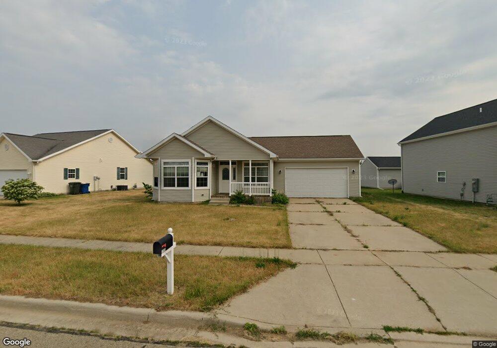
1255 Solomon Ct Plymouth, IN 46563
Estimated Value: $244,731 - $276,000
3
Beds
2
Baths
1,394
Sq Ft
$183/Sq Ft
Est. Value
About This Home
This home is located at 1255 Solomon Ct, Plymouth, IN 46563 and is currently estimated at $254,683, approximately $182 per square foot. 1255 Solomon Ct is a home located in Marshall County with nearby schools including Plymouth High School, Grace Baptist Christian School, and St. Michael School.
Ownership History
Date
Name
Owned For
Owner Type
Purchase Details
Closed on
Aug 26, 2009
Sold by
Big Red Developers Llc
Bought by
Quinby Stephanie L
Current Estimated Value
Home Financials for this Owner
Home Financials are based on the most recent Mortgage that was taken out on this home.
Original Mortgage
$129,425
Outstanding Balance
$84,729
Interest Rate
5.21%
Mortgage Type
Purchase Money Mortgage
Estimated Equity
$169,954
Purchase Details
Closed on
Jun 26, 2009
Sold by
Solomon Development Group Llc
Bought by
Developers Big Red
Create a Home Valuation Report for This Property
The Home Valuation Report is an in-depth analysis detailing your home's value as well as a comparison with similar homes in the area
Home Values in the Area
Average Home Value in this Area
Purchase History
| Date | Buyer | Sale Price | Title Company |
|---|---|---|---|
| Quinby Stephanie L | -- | Metropolitan Title | |
| Developers Big Red | $30,000 | The Solomon Development Grou | |
| Big Red Devlopers Llc | -- | None Available |
Source: Public Records
Mortgage History
| Date | Status | Borrower | Loan Amount |
|---|---|---|---|
| Open | Quinby Stephanie L | $129,425 |
Source: Public Records
Tax History Compared to Growth
Tax History
| Year | Tax Paid | Tax Assessment Tax Assessment Total Assessment is a certain percentage of the fair market value that is determined by local assessors to be the total taxable value of land and additions on the property. | Land | Improvement |
|---|---|---|---|---|
| 2024 | $1,965 | $211,800 | $45,700 | $166,100 |
| 2022 | $1,351 | $134,400 | $29,700 | $104,700 |
| 2021 | $1,331 | $132,400 | $28,300 | $104,100 |
| 2020 | $1,223 | $121,600 | $25,700 | $95,900 |
| 2019 | $1,146 | $114,600 | $25,700 | $88,900 |
| 2018 | $1,161 | $115,600 | $25,700 | $89,900 |
| 2017 | $1,161 | $115,600 | $25,700 | $89,900 |
| 2016 | $1,166 | $116,600 | $25,700 | $90,900 |
| 2014 | $1,189 | $118,900 | $26,200 | $92,700 |
Source: Public Records
Map
Nearby Homes
- 1055 Solomon Ct
- 0 Columbus Dr
- 1072 Lincoln Hwy
- 622 Rex St
- 414 Klinger St
- 16256 Lincoln Hwy
- 221 N Liberty St
- 618 E Laporte St
- 623 Ferndale St
- 316 Marlou Place
- 207 Klinger St
- TBD S Liberty St
- 121 Franklin St
- 519 N Walnut St
- TBD Vanvactor Dr
- 922 Bayless St
- 629 Thayer St
- 423 Lake Ave
- 423 Pierce St
- TBD Nutmeg Meadows Dr
- 1265 Solomon Ct
- 1215 Solomon Ct
- 1205 Solomon Ct Unit 19
- 1205 Solomon Ct
- 1137 Richter Rd Unit 15
- 1137 Richter Rd
- 1145 Richter Rd Unit 12
- 1145 Richter Rd
- 1260 Solomon Ct
- 1123 Solomon Ct Unit 17
- 1123 Solomon Ct
- 1220 Solomon Ct
- 1280 Solomon Ct
- 1280 Solomon Ct Unit 29
- 1200 Solomon Ct
- 0 Solomon Ct Unit 813919
- TBD Solomon Ct
- 1115 Solomon Ct
- 1167 Richter Rd Unit 11
- 1167 Richter Rd