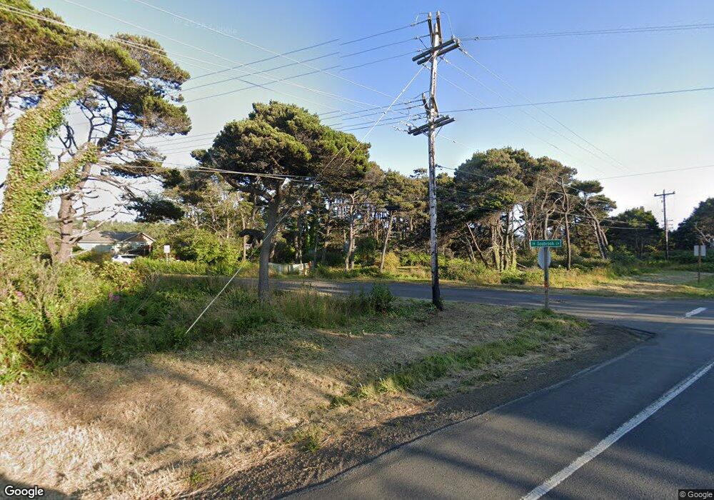
1255 SW Seabrook Ln Waldport, OR 97394
Estimated Value: $363,000 - $700,000
4
Beds
2
Baths
2,752
Sq Ft
$177/Sq Ft
Est. Value
About This Home
This home is located at 1255 SW Seabrook Ln, Waldport, OR 97394 and is currently estimated at $487,667, approximately $177 per square foot. 1255 SW Seabrook Ln is a home located in Lincoln County with nearby schools including Crestview Heights School, Waldport High and Middle School, and Angell JCC.
Ownership History
Date
Name
Owned For
Owner Type
Purchase Details
Closed on
Sep 28, 2022
Sold by
Oconnor June P
Bought by
Serbu Brian R T and Serbu Daniel A
Current Estimated Value
Home Financials for this Owner
Home Financials are based on the most recent Mortgage that was taken out on this home.
Original Mortgage
$285,000
Outstanding Balance
$271,239
Interest Rate
5.13%
Mortgage Type
Balloon
Estimated Equity
$216,428
Create a Home Valuation Report for This Property
The Home Valuation Report is an in-depth analysis detailing your home's value as well as a comparison with similar homes in the area
Home Values in the Area
Average Home Value in this Area
Purchase History
| Date | Buyer | Sale Price | Title Company |
|---|---|---|---|
| Serbu Brian R T | $300,000 | Western Title |
Source: Public Records
Mortgage History
| Date | Status | Borrower | Loan Amount |
|---|---|---|---|
| Open | Serbu Brian R T | $285,000 |
Source: Public Records
Tax History Compared to Growth
Tax History
| Year | Tax Paid | Tax Assessment Tax Assessment Total Assessment is a certain percentage of the fair market value that is determined by local assessors to be the total taxable value of land and additions on the property. | Land | Improvement |
|---|---|---|---|---|
| 2025 | $3,933 | $229,980 | -- | -- |
| 2024 | $3,865 | $223,290 | -- | -- |
| 2023 | $3,021 | $216,790 | $0 | $0 |
| 2022 | $2,722 | $210,480 | $0 | $0 |
| 2021 | $2,671 | $204,350 | $0 | $0 |
| 2020 | $2,624 | $198,400 | $0 | $0 |
| 2019 | $2,523 | $192,630 | $0 | $0 |
| 2018 | $2,487 | $187,020 | $0 | $0 |
| 2017 | $2,389 | $181,580 | $0 | $0 |
| 2016 | $2,191 | $176,300 | $0 | $0 |
| 2015 | $1,931 | $171,170 | $0 | $0 |
| 2014 | $1,906 | $166,600 | $0 | $0 |
| 2013 | -- | $157,380 | $0 | $0 |
Source: Public Records
Map
Nearby Homes
- TL-700 SW Sailfish
- 1215 SW Ocean Hills Dr
- 1152 SW Southmayd Ln
- TL 600 SW Sailfish Loop
- 1409 SW Adahi Ave
- 600 SW Pacific Coast Hwy
- 760 SW Range Dr
- 1590 SW Fairway Dr
- 1200 Blk Sw Norwood Drive Tl0120
- TL 10200 SW Chad Dr
- 1420 SW Fairway Dr
- 1200 Blk Norwood Dr Tl012
- 700 Blk SW Kelsie Ln
- 1345 SW Fairway Dr
- 1410 SW Forest Pkwy
- 415 SW Range Dr
- 2220 SW Green Ln
- 925 SW Dolores Dr
- 125 SW Range Dr Unit 2
- TL 300 SW Dolores Dr
- 1283 SW Seabrook Ln
- 1265 SW Seabrook Ln
- 1221 SW Seabrook Ln
- 1250 SW Seabrook Ln
- 1220 SW Sailfish Loop
- 1236 SW Seabrook Ln
- 1230 SW Sailfish Loop
- 1227 SW Southmayd Ln
- 1528 SW Southmayd Ln
- 1278 SW Southmayd Ln
- 1185 SW Seabrook Ln
- 1240 SW Sailfish Loop
- 1646 SW Southmayd Way
- 1234 SW Southmayd Ln
- 1224 SW Southmayd Ln
- 1160 SW Sailfish Loop
- 1160 SW Sailfish Loop
- 1188 SW Seabrook Ln
- 1588 SW Pacific Coast Hwy
- 1250 SW Sailfish Loop