Estimated Value: $325,906 - $376,000
--
Bed
2
Baths
1,586
Sq Ft
$221/Sq Ft
Est. Value
About This Home
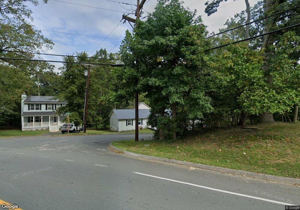
This home is located at 12550 Neosha Ln, Lusby, MD 20657 and is currently estimated at $350,477, approximately $220 per square foot. 12550 Neosha Ln is a home located in Calvert County with nearby schools including Patuxent Appeal Elementary Campus, Mill Creek Middle School, and Patuxent High School.
Ownership History
Date
Name
Owned For
Owner Type
Purchase Details
Closed on
Sep 28, 2022
Sold by
Caldwell David Wayne
Bought by
Taylor Belinda E and Taylor Ryonn D
Current Estimated Value
Purchase Details
Closed on
Jun 17, 1992
Sold by
P H Andrew Inc
Bought by
Caldwell David Wayne and Caldwell Elaine L
Home Financials for this Owner
Home Financials are based on the most recent Mortgage that was taken out on this home.
Original Mortgage
$96,650
Interest Rate
8.54%
Purchase Details
Closed on
Mar 18, 1992
Sold by
Hobart James R and Hobart Florence P
Bought by
P H Andrew Inc
Home Financials for this Owner
Home Financials are based on the most recent Mortgage that was taken out on this home.
Original Mortgage
$72,500
Interest Rate
8.88%
Create a Home Valuation Report for This Property
The Home Valuation Report is an in-depth analysis detailing your home's value as well as a comparison with similar homes in the area
Home Values in the Area
Average Home Value in this Area
Purchase History
| Date | Buyer | Sale Price | Title Company |
|---|---|---|---|
| Taylor Belinda E | $131,000 | Lighthouse Title | |
| Taylor Belinda E | $131,000 | Lighthouse Title | |
| Caldwell David Wayne | $96,700 | -- | |
| P H Andrew Inc | $6,500 | -- |
Source: Public Records
Mortgage History
| Date | Status | Borrower | Loan Amount |
|---|---|---|---|
| Previous Owner | Caldwell David Wayne | $96,650 | |
| Previous Owner | P H Andrew Inc | $72,500 |
Source: Public Records
Tax History Compared to Growth
Tax History
| Year | Tax Paid | Tax Assessment Tax Assessment Total Assessment is a certain percentage of the fair market value that is determined by local assessors to be the total taxable value of land and additions on the property. | Land | Improvement |
|---|---|---|---|---|
| 2025 | $2,973 | $259,633 | $0 | $0 |
| 2024 | $2,973 | $235,467 | $0 | $0 |
| 2023 | $2,349 | $211,300 | $55,200 | $156,100 |
| 2022 | $2,548 | $204,200 | $0 | $0 |
| 2021 | $5,095 | $197,100 | $0 | $0 |
| 2020 | $2,404 | $190,000 | $55,200 | $134,800 |
| 2019 | $1,965 | $187,333 | $0 | $0 |
| 2018 | $1,937 | $184,667 | $0 | $0 |
| 2017 | $2,275 | $182,000 | $0 | $0 |
| 2016 | -- | $178,733 | $0 | $0 |
| 2015 | $2,434 | $175,467 | $0 | $0 |
| 2014 | $2,434 | $172,200 | $0 | $0 |
Source: Public Records
Map
Nearby Homes
- 1049 Golden Way W
- 1076 San Angelo Dr
- 1078 Fort Sill Trail
- 12439 Rimrock Ln
- 12501 San Jose Ct
- 12375 Algonquin Trail
- 463 Bronco Trail
- 1114 Ranger Ridge Rd
- 428 Buffalo Rd
- 12728 Cordova Ct
- 12447 El Segunda Ln
- 12667 Amarillo Dr
- 12476 Catalina Dr
- 980 Silverton Ct
- 12407 Tahoe Ct
- 12284 Bandera Ln
- 12115 Tall Pine Trail
- 12759 Tonkawa Trail
- 502 Dodge Trail
- 356 Clubhouse Dr
- 12568 Neosha Ln
- 1062 Golden West Way
- 1066 Golden West Way
- 1066 Golden Way W
- 1062 Golden Way W
- 1058 Golden West Way
- 1058 Golden West Way
- 12559 Neosha Ln
- 12561 Neosha Ln
- 1065 Golden West Way
- 12573 Neosha Ln
- 12565 Neosha Ln
- 1054 Golden Way W
- 1054 Golden West Way
- 1055 Golden West Way
- 1055 Golden West Way
- 1076 Golden West Way
- 1076 Golden Way W
- 1050 Golden West Way
- 1075 Golden West Way