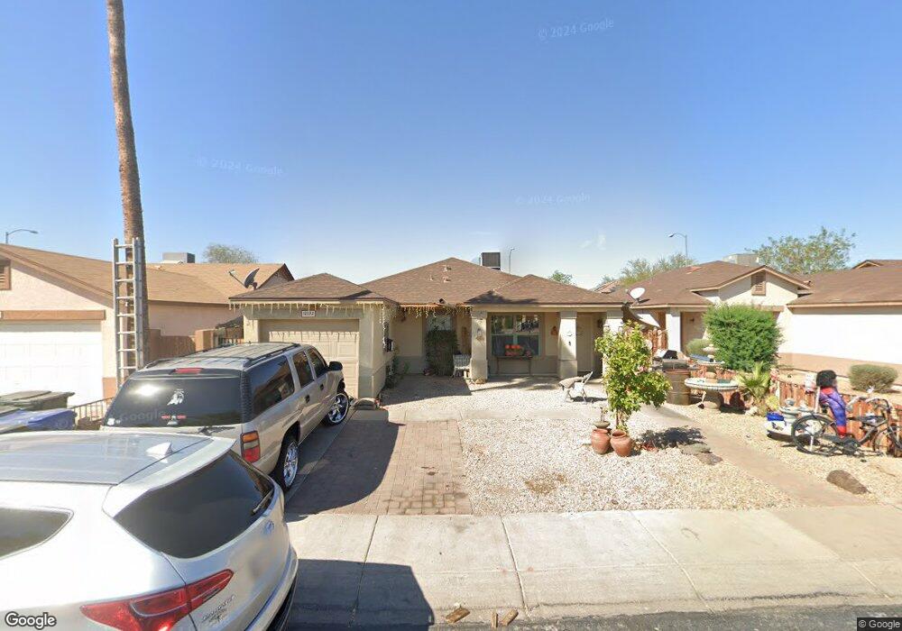
12552 N B St El Mirage, AZ 85335
Estimated Value: $248,909 - $320,000
--
Bed
1
Bath
1,068
Sq Ft
$278/Sq Ft
Est. Value
About This Home
This home is located at 12552 N B St, El Mirage, AZ 85335 and is currently estimated at $296,977, approximately $278 per square foot. 12552 N B St is a home located in Maricopa County with nearby schools including Riverview Elementary School, Dysart High School, and Desert Mirage Elementary School.
Ownership History
Date
Name
Owned For
Owner Type
Purchase Details
Closed on
Mar 8, 2000
Sold by
Kaufman & Broad Home Sales Of Az Inc
Bought by
Lopez Carlos Mario S and Canez Glenda E
Current Estimated Value
Home Financials for this Owner
Home Financials are based on the most recent Mortgage that was taken out on this home.
Original Mortgage
$64,974
Outstanding Balance
$22,100
Interest Rate
8.34%
Mortgage Type
FHA
Estimated Equity
$274,877
Create a Home Valuation Report for This Property
The Home Valuation Report is an in-depth analysis detailing your home's value as well as a comparison with similar homes in the area
Home Values in the Area
Average Home Value in this Area
Purchase History
| Date | Buyer | Sale Price | Title Company |
|---|---|---|---|
| Lopez Carlos Mario S | $73,545 | First American Title | |
| Kaufman & Broad Home Sales Of Az Inc | -- | First American Title |
Source: Public Records
Mortgage History
| Date | Status | Borrower | Loan Amount |
|---|---|---|---|
| Open | Lopez Carlos Mario S | $64,974 |
Source: Public Records
Tax History Compared to Growth
Tax History
| Year | Tax Paid | Tax Assessment Tax Assessment Total Assessment is a certain percentage of the fair market value that is determined by local assessors to be the total taxable value of land and additions on the property. | Land | Improvement |
|---|---|---|---|---|
| 2025 | $580 | $6,246 | -- | -- |
| 2024 | $569 | $5,949 | -- | -- |
| 2023 | $569 | $20,570 | $4,110 | $16,460 |
| 2022 | $571 | $15,470 | $3,090 | $12,380 |
| 2021 | $603 | $13,870 | $2,770 | $11,100 |
| 2020 | $606 | $12,050 | $2,410 | $9,640 |
| 2019 | $587 | $10,260 | $2,050 | $8,210 |
| 2018 | $581 | $9,010 | $1,800 | $7,210 |
| 2017 | $542 | $7,630 | $1,520 | $6,110 |
| 2016 | $527 | $6,970 | $1,390 | $5,580 |
| 2015 | $488 | $6,580 | $1,310 | $5,270 |
Source: Public Records
Map
Nearby Homes
- 12413 N El Frio St Unit 1
- 12424 N B St
- 11928 W Scotts Dr
- 12709 N El Frio St
- 11921 W Bloomfield Rd
- 11936 W Charter Oak Rd
- 11950 W Flores Dr Unit II
- 12022 W Columbine Dr
- 11613 W Larkspur Rd
- 12901 N Pablo St
- 12015 W Windrose Dr
- 11841 W Paradise Dr
- 11918 W Aster Dr
- 13101 N Cesar Chavez Dr
- 11770 W Aster Dr
- 12026 W Aster Dr
- 11802 W Poinsettia Dr Unit 1
- 11505 W Bloomfield Rd
- 12028 W Dahlia Dr
- 12119 W Dahlia Dr
- 12540 N B St
- 12564 N B St
- 12528 N B St
- 12576 N B St
- 11841 W Larkspur Rd
- 12516 N B St
- 12588 N B St
- 11842 W Larkspur Rd
- 12517 N El Frio St
- 12513 N El Frio St
- 11837 W Larkspur Rd
- 12504 N B St
- 12600 N B St
- 12521 N El Frio St
- 12509 N El Frio St
- 11838 W Larkspur Rd
- 12525 N El Frio St
- 11842 W Columbine Dr
- 12505 N El Frio St
- 11833 W Larkspur Rd