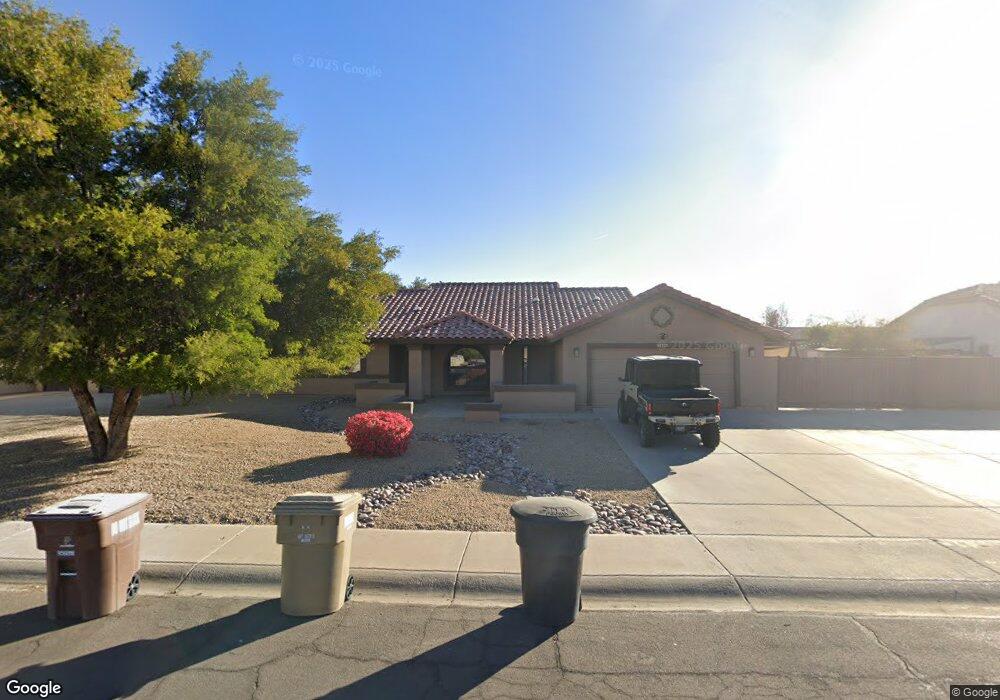
12555 N 77th Dr Peoria, AZ 85381
Estimated Value: $418,846 - $514,000
--
Bed
2
Baths
1,978
Sq Ft
$242/Sq Ft
Est. Value
About This Home
This home is located at 12555 N 77th Dr, Peoria, AZ 85381 and is currently estimated at $478,962, approximately $242 per square foot. 12555 N 77th Dr is a home located in Maricopa County with nearby schools including Oasis Elementary School, Centennial High School, and Living Word Academy.
Ownership History
Date
Name
Owned For
Owner Type
Purchase Details
Closed on
Jan 13, 1998
Sold by
Albert Terry L
Bought by
Blake Donald K
Current Estimated Value
Home Financials for this Owner
Home Financials are based on the most recent Mortgage that was taken out on this home.
Original Mortgage
$101,687
Outstanding Balance
$17,275
Interest Rate
6.9%
Mortgage Type
FHA
Estimated Equity
$461,688
Create a Home Valuation Report for This Property
The Home Valuation Report is an in-depth analysis detailing your home's value as well as a comparison with similar homes in the area
Home Values in the Area
Average Home Value in this Area
Purchase History
| Date | Buyer | Sale Price | Title Company |
|---|---|---|---|
| Blake Donald K | $117,000 | Lawyers Title Of Arizona Inc |
Source: Public Records
Mortgage History
| Date | Status | Borrower | Loan Amount |
|---|---|---|---|
| Open | Blake Donald K | $101,687 |
Source: Public Records
Tax History Compared to Growth
Tax History
| Year | Tax Paid | Tax Assessment Tax Assessment Total Assessment is a certain percentage of the fair market value that is determined by local assessors to be the total taxable value of land and additions on the property. | Land | Improvement |
|---|---|---|---|---|
| 2025 | $1,622 | $20,832 | -- | -- |
| 2024 | $1,597 | $19,840 | -- | -- |
| 2023 | $1,597 | $35,560 | $7,110 | $28,450 |
| 2022 | $1,564 | $27,670 | $5,530 | $22,140 |
| 2021 | $1,674 | $25,350 | $5,070 | $20,280 |
| 2020 | $1,690 | $23,120 | $4,620 | $18,500 |
| 2019 | $1,635 | $22,230 | $4,440 | $17,790 |
| 2018 | $1,581 | $20,750 | $4,150 | $16,600 |
| 2017 | $1,582 | $18,300 | $3,660 | $14,640 |
| 2016 | $1,566 | $18,320 | $3,660 | $14,660 |
| 2015 | $1,461 | $17,870 | $3,570 | $14,300 |
Source: Public Records
Map
Nearby Homes
- 12677 N 77th Dr
- 7825 W Bloomfield Rd
- 7638 W Shaw Butte Dr
- 7725 W Dreyfus Dr
- 7418 W Corrine Dr
- 7813 W Dreyfus Dr
- 7537 W Dreyfus Dr
- 7544 W Dreyfus Dr
- 8007 W Corrine Dr
- 13051 N 75th Dr
- 8021 W Charter Oak Rd
- 7942 W Dreyfus Dr
- 7901 W Pershing Ave
- 7583 W Gelding Dr
- 11963 N 80th Ave
- 8102 W Windrose Dr Unit 1
- 7301 W Sweetwater Ave
- 8119 W Corrine Dr Unit 1
- 7233 W Corrine Dr
- 7220 W Larkspur Dr
- 12535 N 77th Dr
- 12575 N 77th Dr
- 12550 N 77th Dr
- 12570 N 77th Dr
- 12515 N 77th Dr
- 7727 W Corrine Dr
- 7719 W Corrine Dr
- 7717 W Columbine Dr
- 7711 W Corrine Dr
- 12658 N 77th Dr
- 7734 W Columbine Dr
- 7730 W Columbine Dr
- 7688 W Bloomfield Rd
- 12455 N 77th Dr
- 7649 W Corrine Dr
- 7725 W Columbine Dr
- 12668 N 77th Dr
- 7718 W Bloomfield Rd
- 7678 W Bloomfield Rd
- 7731 W Columbine Dr