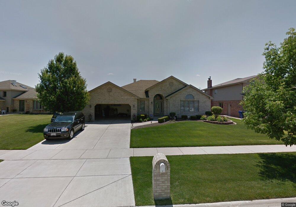
12559 Cedar Ridge Dr Homer Glen, IL 60491
Estimated Value: $577,000 - $653,000
--
Bed
--
Bath
2,502
Sq Ft
$243/Sq Ft
Est. Value
About This Home
This home is located at 12559 Cedar Ridge Dr, Homer Glen, IL 60491 and is currently estimated at $608,802, approximately $243 per square foot. 12559 Cedar Ridge Dr is a home located in Will County with nearby schools including Hadley Middle School, Luther J Schilling School, and Homer Jr High School.
Ownership History
Date
Name
Owned For
Owner Type
Purchase Details
Closed on
Apr 22, 2004
Sold by
Sawka Michael M and Sawka Dawn M
Bought by
Winters Daniel J and Winters Jaime K
Current Estimated Value
Home Financials for this Owner
Home Financials are based on the most recent Mortgage that was taken out on this home.
Original Mortgage
$229,650
Outstanding Balance
$107,844
Interest Rate
5.63%
Mortgage Type
Purchase Money Mortgage
Estimated Equity
$500,958
Purchase Details
Closed on
Jun 12, 2001
Sold by
Standard Bank & Trust Company
Bought by
Sawka Michael M and Sawka Dawn M
Home Financials for this Owner
Home Financials are based on the most recent Mortgage that was taken out on this home.
Original Mortgage
$190,000
Interest Rate
7.27%
Create a Home Valuation Report for This Property
The Home Valuation Report is an in-depth analysis detailing your home's value as well as a comparison with similar homes in the area
Home Values in the Area
Average Home Value in this Area
Purchase History
| Date | Buyer | Sale Price | Title Company |
|---|---|---|---|
| Winters Daniel J | $358,000 | Chicago Title Insurance Co | |
| Sawka Michael M | $291,500 | Chicago Title Insurance Co |
Source: Public Records
Mortgage History
| Date | Status | Borrower | Loan Amount |
|---|---|---|---|
| Open | Winters Daniel J | $229,650 | |
| Previous Owner | Sawka Michael M | $190,000 | |
| Closed | Winters Daniel J | $100,000 |
Source: Public Records
Tax History Compared to Growth
Tax History
| Year | Tax Paid | Tax Assessment Tax Assessment Total Assessment is a certain percentage of the fair market value that is determined by local assessors to be the total taxable value of land and additions on the property. | Land | Improvement |
|---|---|---|---|---|
| 2024 | $13,868 | $199,021 | $28,086 | $170,935 |
| 2023 | $13,868 | $180,404 | $25,459 | $154,945 |
| 2022 | $12,656 | $168,444 | $23,771 | $144,673 |
| 2021 | $12,060 | $159,587 | $22,521 | $137,066 |
| 2020 | $12,105 | $153,715 | $21,692 | $132,023 |
| 2019 | $11,541 | $147,874 | $20,868 | $127,006 |
| 2018 | $11,339 | $143,752 | $20,629 | $123,123 |
| 2017 | $11,135 | $139,728 | $20,052 | $119,676 |
| 2016 | $10,869 | $135,068 | $19,383 | $115,685 |
| 2015 | $10,011 | $129,998 | $18,655 | $111,343 |
| 2014 | $10,011 | $122,655 | $18,270 | $104,385 |
| 2013 | $10,011 | $122,655 | $18,270 | $104,385 |
Source: Public Records
Map
Nearby Homes
- 12459 Rosewood Dr Unit 1
- Fremont Plan at Kingston Hills
- Briarcliffe Plan at Kingston Hills
- Danbury Plan at Kingston Hills
- Calysta Plan at Kingston Hills
- Eden Plan at Kingston Hills
- Amberwood Plan at Kingston Hills
- 14748 S Carlton Ln
- 15022 S Woodcrest Ave Unit 3
- 14715 S Woodcrest Ave
- 14561 S Appaloosa Ln
- 12222 Rambling Rd
- 14542 S Mustang Dr
- 14541 S Bell Rd
- 14453 S Bell Rd
- 15328 Sharon Dr
- 14325 S Bell Rd
- 15507 Willow Ct
- 13116 Woodland Dr
- 14225 Mallard Dr
- 12565 Cedar Ridge Dr
- 12549 Cedar Ridge Dr
- 12541 Cedar Ridge Dr
- 12550 Rosewood Dr
- 12603 Cedar Ridge Dr
- 12540 Rosewood Dr
- 12554 Rosewood Dr
- 12564 Cedar Ridge Dr
- 14923 S Carlton Ln
- 12532 Rosewood Dr
- 12560 Rosewood Dr
- 12558 Cedar Ridge Dr
- 12535 Cedar Ridge Dr
- 12548 Cedar Ridge Dr
- 12540 Cedar Ridge Dr
- 12524 Rosewood Dr
- 12527 Cedar Ridge Dr
- 14917 S Carlton Ln
- 12536 Cedar Ridge Dr
- 14940 S Carlton Ln