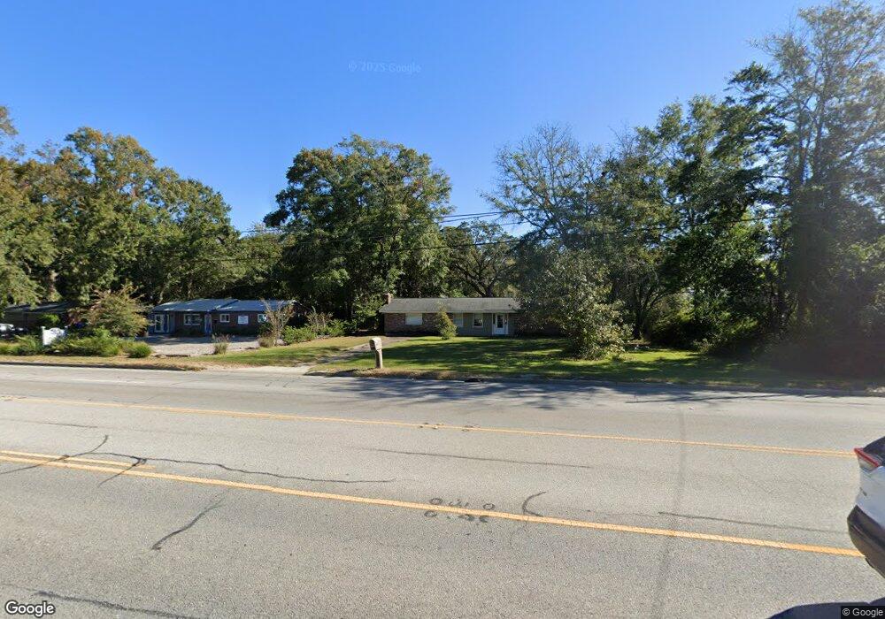
1256 Folly Rd Charleston, SC 29412
James Island NeighborhoodEstimated Value: $624,000 - $666,000
3
Beds
2
Baths
1,654
Sq Ft
$388/Sq Ft
Est. Value
About This Home
This home is located at 1256 Folly Rd, Charleston, SC 29412 and is currently estimated at $642,334, approximately $388 per square foot. 1256 Folly Rd is a home located in Charleston County with nearby schools including James Island Elementary School, Camp Road Middle, and Septima P Clark Corporate Academy.
Ownership History
Date
Name
Owned For
Owner Type
Purchase Details
Closed on
Jan 21, 2020
Sold by
Perkins Karen H and Cooper Phyllis H
Bought by
James Island Presbyterian Church Board
Current Estimated Value
Home Financials for this Owner
Home Financials are based on the most recent Mortgage that was taken out on this home.
Original Mortgage
$345,000
Outstanding Balance
$65,269
Interest Rate
3.72%
Mortgage Type
New Conventional
Estimated Equity
$577,065
Purchase Details
Closed on
Jun 26, 2019
Sold by
Perkins Karen H and Cooper Phyllis
Bought by
Perkins Karen H and Cooper Phyllis H
Create a Home Valuation Report for This Property
The Home Valuation Report is an in-depth analysis detailing your home's value as well as a comparison with similar homes in the area
Home Values in the Area
Average Home Value in this Area
Purchase History
| Date | Buyer | Sale Price | Title Company |
|---|---|---|---|
| James Island Presbyterian Church Board | $435,000 | None Available | |
| Perkins Karen H | -- | None Available |
Source: Public Records
Mortgage History
| Date | Status | Borrower | Loan Amount |
|---|---|---|---|
| Open | James Island Presbyterian Church Board | $345,000 |
Source: Public Records
Tax History Compared to Growth
Tax History
| Year | Tax Paid | Tax Assessment Tax Assessment Total Assessment is a certain percentage of the fair market value that is determined by local assessors to be the total taxable value of land and additions on the property. | Land | Improvement |
|---|---|---|---|---|
| 2024 | $198 | $0 | $0 | $0 |
| 2023 | $198 | $0 | $0 | $0 |
| 2022 | $147 | $17,400 | $10,000 | $7,400 |
| 2021 | $147 | $17,400 | $10,000 | $7,400 |
| 2020 | $3,242 | $13,040 | $0 | $0 |
| 2019 | $3,007 | $11,340 | $0 | $0 |
| 2017 | $814 | $7,560 | $0 | $0 |
| 2016 | $783 | $7,560 | $0 | $0 |
| 2015 | $805 | $7,560 | $0 | $0 |
| 2014 | $690 | $0 | $0 | $0 |
| 2011 | -- | $0 | $0 | $0 |
Source: Public Records
Map
Nearby Homes
- 1206 Folly Rd
- 1530 Fort Johnson Rd Unit 1E
- 1530 Fort Johnson Rd Unit 1L
- 1540 Fort Johnson Rd
- 0 Folly Rd Unit 24015136
- 1341 Witter St
- 1232 Silverleaf Cir
- 1152 Bradford Ave
- 1153 Pauline Ave
- 1135 Bellwood Rd
- 1025 Riverland Woods Place Unit 423
- 1025 Riverland Woods Place Unit 1105
- 1025 Riverland Woods Place Unit 116
- 1512 Seacroft Rd
- 1764 Ashworth Ln
- 1547 Seacroft Rd
- 1404 Ivy Isle Dr
- 1393 Secessionville Rd
- 1056 Yorktown Dr
- 0 Turkey Pen Rd Unit 16023532
- 1250 Folly Rd
- 1260 Folly Rd
- 1246 Folly Rd
- 1242 Pauline Ave
- 1233 Pauline Ave
- 1240 Folly Rd
- 1232 Pauline Ave
- 1236 Folly Rd
- 1228 Pauline Ave
- 1225 Pauline Ave
- 1230 Folly Rd
- 1222 Pauline Ave
- 1543 Fort Johnson Rd
- 1219 Pauline Ave
- 1226 Folly Rd
- 1212 Pauline Ave
- 1220 Folly Rd
- 1213 Pauline Ave
- 1210 Pauline Ave
- 1306 Jeffords St