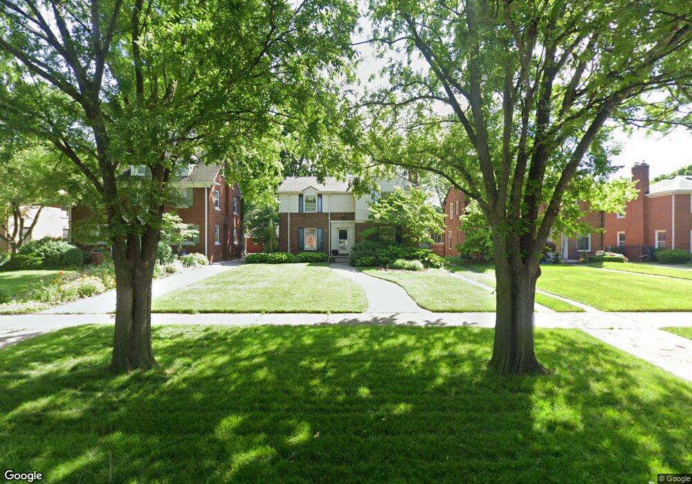
1256 Whittier Rd Grosse Pointe Park, MI 48230
Estimated Value: $531,000 - $626,000
--
Bed
1
Bath
2,350
Sq Ft
$244/Sq Ft
Est. Value
About This Home
This home is located at 1256 Whittier Rd, Grosse Pointe Park, MI 48230 and is currently estimated at $573,679, approximately $244 per square foot. 1256 Whittier Rd is a home located in Wayne County with nearby schools including George Defer Elementary School, Pierce Middle School, and Grosse Pointe South High School.
Ownership History
Date
Name
Owned For
Owner Type
Purchase Details
Closed on
Oct 31, 2002
Sold by
Carrier Dallas W and Carrier Sharon A
Bought by
Carrier Dallas W
Current Estimated Value
Home Financials for this Owner
Home Financials are based on the most recent Mortgage that was taken out on this home.
Original Mortgage
$101,000
Outstanding Balance
$32,870
Interest Rate
5.93%
Mortgage Type
New Conventional
Estimated Equity
$540,809
Purchase Details
Closed on
Dec 1, 2000
Sold by
Carrier Dallas
Bought by
Carrier Dallas W
Create a Home Valuation Report for This Property
The Home Valuation Report is an in-depth analysis detailing your home's value as well as a comparison with similar homes in the area
Home Values in the Area
Average Home Value in this Area
Purchase History
| Date | Buyer | Sale Price | Title Company |
|---|---|---|---|
| Carrier Dallas W | -- | Multiple | |
| Carrier Dallas W | -- | -- |
Source: Public Records
Mortgage History
| Date | Status | Borrower | Loan Amount |
|---|---|---|---|
| Open | Carrier Dallas W | $101,000 |
Source: Public Records
Tax History Compared to Growth
Tax History
| Year | Tax Paid | Tax Assessment Tax Assessment Total Assessment is a certain percentage of the fair market value that is determined by local assessors to be the total taxable value of land and additions on the property. | Land | Improvement |
|---|---|---|---|---|
| 2025 | $5,070 | $277,000 | $0 | $0 |
| 2024 | $5,070 | $322,400 | $0 | $0 |
| 2023 | $4,842 | $294,800 | $0 | $0 |
| 2022 | $4,600 | $273,300 | $0 | $0 |
| 2021 | $9,070 | $267,000 | $0 | $0 |
| 2019 | $9,334 | $239,900 | $0 | $0 |
| 2018 | $4,386 | $211,600 | $0 | $0 |
| 2017 | $9,769 | $159,300 | $0 | $0 |
| 2016 | $9,141 | $201,900 | $0 | $0 |
| 2015 | $16,413 | $197,700 | $0 | $0 |
| 2013 | $15,900 | $162,300 | $0 | $0 |
| 2012 | $4,465 | $171,800 | $42,600 | $129,200 |
Source: Public Records
Map
Nearby Homes
- 1200 Audubon Rd
- 1131 Audubon Rd
- 1387 Kensington Ave
- 1386 Three Mile Dr
- 1117 Bishop Rd
- 1148 Devonshire Rd
- 1386 Grayton St
- 1425 Bedford Rd
- 1350 Buckingham Rd
- 1036 Yorkshire Rd
- 1358 Harvard Rd
- 3430 Bedford St
- 3476 Audubon Rd
- 3479 Courville St
- 616 Cadieux Rd
- 3520 Audubon Rd
- 3477 Bedford St
- 3485 Bedford St
- 775 Notre Dame St
- 25 Village Ln
- 1262 Whittier Rd
- 1250 Whittier Rd
- 1244 Whittier Rd
- 1268 Whittier Rd
- 1259 Kensington Ave
- 1238 Whittier Rd
- 1247 Kensington Ave
- 1274 Whittier Rd
- 1253 Kensington Ave
- 1265 Kensington Ave
- 1241 Kensington Ave
- 1233 Kensington Ave
- 1257 Whittier Rd
- 1251 Whittier Rd
- 1226 Whittier Rd
- 1229 Kensington Ave
- 1245 Whittier Rd
- 1275 Whittier Rd
- 1239 Whittier Rd
- 1221 Kensington Ave