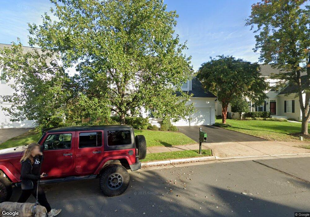
12566 Moray Firth Way Bristow, VA 20136
Braemar NeighborhoodEstimated Value: $738,000 - $855,000
4
Beds
3
Baths
3,016
Sq Ft
$261/Sq Ft
Est. Value
About This Home
This home is located at 12566 Moray Firth Way, Bristow, VA 20136 and is currently estimated at $788,586, approximately $261 per square foot. 12566 Moray Firth Way is a home located in Prince William County with nearby schools including Patriot High School, Cedar Point Elementary School, and E.H. Marsteller Middle School.
Ownership History
Date
Name
Owned For
Owner Type
Purchase Details
Closed on
May 5, 2000
Sold by
Washington Coscan
Bought by
Biendl Derek A
Current Estimated Value
Home Financials for this Owner
Home Financials are based on the most recent Mortgage that was taken out on this home.
Original Mortgage
$225,550
Outstanding Balance
$78,314
Interest Rate
8.21%
Estimated Equity
$710,272
Create a Home Valuation Report for This Property
The Home Valuation Report is an in-depth analysis detailing your home's value as well as a comparison with similar homes in the area
Home Values in the Area
Average Home Value in this Area
Purchase History
| Date | Buyer | Sale Price | Title Company |
|---|---|---|---|
| Biendl Derek A | $281,970 | -- |
Source: Public Records
Mortgage History
| Date | Status | Borrower | Loan Amount |
|---|---|---|---|
| Open | Biendl Derek A | $225,550 |
Source: Public Records
Tax History Compared to Growth
Tax History
| Year | Tax Paid | Tax Assessment Tax Assessment Total Assessment is a certain percentage of the fair market value that is determined by local assessors to be the total taxable value of land and additions on the property. | Land | Improvement |
|---|---|---|---|---|
| 2025 | $6,835 | $750,400 | $193,500 | $556,900 |
| 2024 | $6,835 | $687,300 | $184,300 | $503,000 |
| 2023 | $6,789 | $652,500 | $174,700 | $477,800 |
| 2022 | $6,893 | $612,100 | $150,200 | $461,900 |
| 2021 | $6,496 | $533,300 | $132,200 | $401,100 |
| 2020 | $7,460 | $481,300 | $120,200 | $361,100 |
| 2019 | $7,349 | $474,100 | $120,200 | $353,900 |
| 2018 | $5,599 | $463,700 | $114,500 | $349,200 |
| 2017 | $5,525 | $448,800 | $114,500 | $334,300 |
| 2016 | $5,340 | $437,700 | $108,900 | $328,800 |
| 2015 | $5,249 | $439,600 | $108,900 | $330,700 |
| 2014 | $5,249 | $421,000 | $103,800 | $317,200 |
Source: Public Records
Map
Nearby Homes
- Hampton II Plan at Parkgate Estates
- 10045 Pentland Hills Way
- 12151 Hayfield Ct
- 12048 Elliots Oak Place
- 9478 Merrimont Trace Cir
- 9475 Sarah Mill Terrace
- 9656 Bedder Stone Place
- 12021 Spring Beauty Rd
- 10512 Blazing Star Loop
- 12054 Nokesville Rd
- 9579 Scales Place
- 9318 Crestview Ridge Dr
- 9244 Crestview Ridge Dr
- 9293 Crestview Ridge Dr
- 9381 Crestview Ridge Dr
- 9256 Crestview Ridge Dr
- 10554 Andrew Humphreys Ct
- 10423 Rifle Rd
- 12100 Brevard Park Ct
- 9107 Kearney Place
- 12568 Moray Firth Way
- 12562 Moray Firth Way
- 12560 Moray Firth Way
- 12570 Moray Firth Way
- 12556 Moray Firth Way
- 10063 Naughton Ct
- 12563 Moray Firth Way
- 12567 Moray Firth Way
- 12584 Moray Firth Way
- 12607 Cessford Dr
- 10055 Naughton Ct
- 12571 Moray Firth Way
- 12559 Moray Firth Way
- 12594 Moray Firth Way
- 12575 Moray Firth Way
- 12600 Cessford Dr
- 10068 Naughton Ct
- 10064 Naughton Ct
- 12591 Moray Firth Way
- 10072 Naughton Ct