12567 Thompson Blvd Mc Calla, AL 35111
Estimated Value: $76,311
2
Beds
1
Bath
720
Sq Ft
$106/Sq Ft
Est. Value
About This Home
This home is located at 12567 Thompson Blvd, Mc Calla, AL 35111 and is currently estimated at $76,311, approximately $105 per square foot. 12567 Thompson Blvd is a home located in Tuscaloosa County with nearby schools including Lake View Elementary School, Brookwood Middle School, and Brookwood High School.
Ownership History
Date
Name
Owned For
Owner Type
Purchase Details
Closed on
Apr 23, 2015
Sold by
Riley Kaye B
Bought by
Dollar Dollar Crawford E Crawford E and Dollar Rebecca E
Current Estimated Value
Purchase Details
Closed on
Aug 29, 2014
Sold by
Riley Kaye B
Bought by
Harrison Harrison Robert E Robert E and Harrison April L
Purchase Details
Closed on
Jun 11, 2010
Sold by
Prudhome Roger S
Bought by
Riley Kaye B
Purchase Details
Closed on
Nov 30, 2007
Sold by
Dean Janice
Bought by
Prudhome Roger S
Create a Home Valuation Report for This Property
The Home Valuation Report is an in-depth analysis detailing your home's value as well as a comparison with similar homes in the area
Home Values in the Area
Average Home Value in this Area
Purchase History
| Date | Buyer | Sale Price | Title Company |
|---|---|---|---|
| Dollar Dollar Crawford E Crawford E | -- | -- | |
| Harrison Harrison Robert E Robert E | -- | -- | |
| Riley Kaye B | $34,400 | -- | |
| Prudhome Roger S | $20,000 | -- | |
| Dean Janice | $7,000 | -- |
Source: Public Records
Tax History Compared to Growth
Tax History
| Year | Tax Paid | Tax Assessment Tax Assessment Total Assessment is a certain percentage of the fair market value that is determined by local assessors to be the total taxable value of land and additions on the property. | Land | Improvement |
|---|---|---|---|---|
| 2024 | $71 | $2,620 | $1,600 | $1,020 |
| 2023 | $71 | $2,620 | $1,600 | $1,020 |
| 2022 | $71 | $2,620 | $1,600 | $1,020 |
| 2021 | $71 | $2,620 | $1,600 | $1,020 |
| 2020 | $64 | $2,380 | $1,600 | $780 |
| 2019 | $64 | $2,380 | $1,600 | $780 |
| 2018 | $64 | $2,380 | $1,600 | $780 |
| 2017 | $64 | $0 | $0 | $0 |
| 2016 | $64 | $0 | $0 | $0 |
| 2015 | $91 | $0 | $0 | $0 |
| 2014 | $17 | $1,690 | $800 | $890 |
Source: Public Records
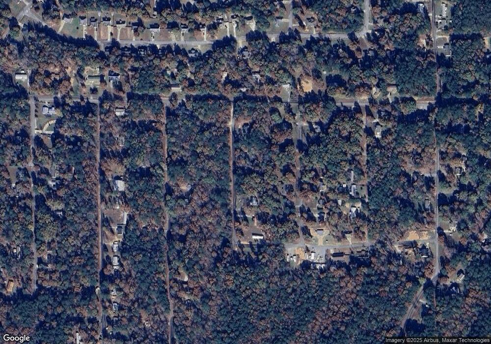
Map
Nearby Homes
- 0 Sandy Dr Unit 69 21420182
- 20367 Castle Ridge Rd Unit 126
- 20379 Castle Ridge Rd Unit 122
- 20391 Castle Ridge Rd Unit 122
- 8 Marshall Dr
- 25 Marshall Dr
- 20456 Hephzibah Church Rd
- 11 Sandy Dr
- 12765 Teddy Dr
- 0 Teddy Dr Unit 7 21411900
- 0 Teddy Dr Unit 165468
- 00 Danny Dr
- 12682 Woodland Lake Rd
- 9 Mark Dr
- 20333 Tanya Dr
- 12690 Woodland Lake Rd
- 4 Hilda Dr
- 12449 Randy Dr
- 00 Christina Dr
- 9 Christina Dr
- 0 Thompson Blvd
- 12583 Thompson Blvd
- 12548 Patsy Dr
- 12532 Patsy Dr
- 12551 Thompson Blvd
- 12522 Patsy Dr
- 12549 Marshall Dr
- 12549 Marshall Dr
- 12535 Patsy Dr
- 12535 Patsy Dr Unit 14
- 12518 Patsy Dr
- 12547 Patsy Dr
- 12555 Patsy Dr
- 12529 Patsy Dr
- 20580 Sandy Dr Unit 12
- 20572 Sandy Dr
- 20572 Sandy Dr Unit 13
- 20588 Sandy Dr
- 20570 Sandy Dr
- 20489 Sandy Dr