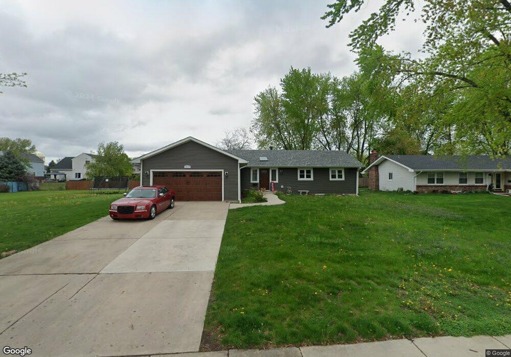
1257 Colorado Ave Unit 2 Aurora, IL 60506
Edgelawn Randall NeighborhoodEstimated Value: $308,000 - $355,000
6
Beds
3
Baths
1,469
Sq Ft
$229/Sq Ft
Est. Value
About This Home
This home is located at 1257 Colorado Ave Unit 2, Aurora, IL 60506 and is currently estimated at $336,298, approximately $228 per square foot. 1257 Colorado Ave Unit 2 is a home located in Kane County with nearby schools including Mccleery Elementary School, Jefferson Middle School, and West Aurora High School.
Ownership History
Date
Name
Owned For
Owner Type
Purchase Details
Closed on
Aug 4, 2024
Sold by
Perez Angel
Bought by
Saltijeral John
Current Estimated Value
Purchase Details
Closed on
Aug 2, 1996
Sold by
Gonzalez Leandro
Bought by
Perez Angel and Perez Martha
Home Financials for this Owner
Home Financials are based on the most recent Mortgage that was taken out on this home.
Original Mortgage
$92,000
Interest Rate
8.33%
Create a Home Valuation Report for This Property
The Home Valuation Report is an in-depth analysis detailing your home's value as well as a comparison with similar homes in the area
Home Values in the Area
Average Home Value in this Area
Purchase History
| Date | Buyer | Sale Price | Title Company |
|---|---|---|---|
| Saltijeral John | $143,000 | Chicago Title | |
| Perez Angel | $141,500 | Chicago Title Insurance Co |
Source: Public Records
Mortgage History
| Date | Status | Borrower | Loan Amount |
|---|---|---|---|
| Previous Owner | Perez Angel | $92,000 |
Source: Public Records
Tax History Compared to Growth
Tax History
| Year | Tax Paid | Tax Assessment Tax Assessment Total Assessment is a certain percentage of the fair market value that is determined by local assessors to be the total taxable value of land and additions on the property. | Land | Improvement |
|---|---|---|---|---|
| 2024 | $7,257 | $99,653 | $18,299 | $81,354 |
| 2023 | $6,941 | $89,039 | $16,350 | $72,689 |
| 2022 | $6,660 | $81,240 | $14,918 | $66,322 |
| 2021 | $6,362 | $75,636 | $13,889 | $61,747 |
| 2020 | $6,015 | $70,255 | $12,901 | $57,354 |
| 2019 | $5,778 | $65,093 | $11,953 | $53,140 |
| 2018 | $5,544 | $61,439 | $11,056 | $50,383 |
| 2017 | $5,841 | $62,752 | $10,187 | $52,565 |
| 2016 | $5,061 | $53,640 | $7,593 | $46,047 |
| 2015 | -- | $46,643 | $6,529 | $40,114 |
| 2014 | -- | $44,477 | $7,326 | $37,151 |
| 2013 | -- | $46,285 | $7,221 | $39,064 |
Source: Public Records
Map
Nearby Homes
- 1296 Yellowpine Dr
- 1351 Monomoy St Unit D
- 1389 Monomoy St Unit B2
- 833 N Randall Rd Unit C4
- 1035 Newcastle Ln
- 972 Westgate Dr
- 1104 New Haven Ave
- 795 N Elmwood Dr
- 781 N Elmwood Dr
- 910 Southbridge Dr
- 1532 Golden Oaks Pkwy
- 1199 Pin Oak Trail
- 616 Morton Ave
- 967 Sapphire Ln
- 959 Sapphire Ln
- 963 Sapphire Ln
- 960 Sapphire Ln
- 964 Sapphire Ln
- 1120 Emerald Dr
- 943 Charles St
- 1241 Colorado Ave Unit 2
- 1250 Cottonwood Dr
- 1258 Cottonwood Dr
- 1273 Colorado Ave Unit 11
- 1242 Cottonwood Dr
- 1266 Cottonwood Dr
- 1250 Colorado Ave
- 1227 Colorado Ave
- 1260 Colorado Ave Unit 2
- 1234 Cottonwood Dr
- 1274 Cottonwood Dr
- 1270 Colorado Ave Unit II
- 1287 Colorado Ave
- 1213 Colorado Ave
- 1220 Colorado Ave
- 1282 Cottonwood Dr
- 1226 Cottonwood Dr
- 1271 California Ave
- 1286 Colorado Ave
- 1263 California Ave