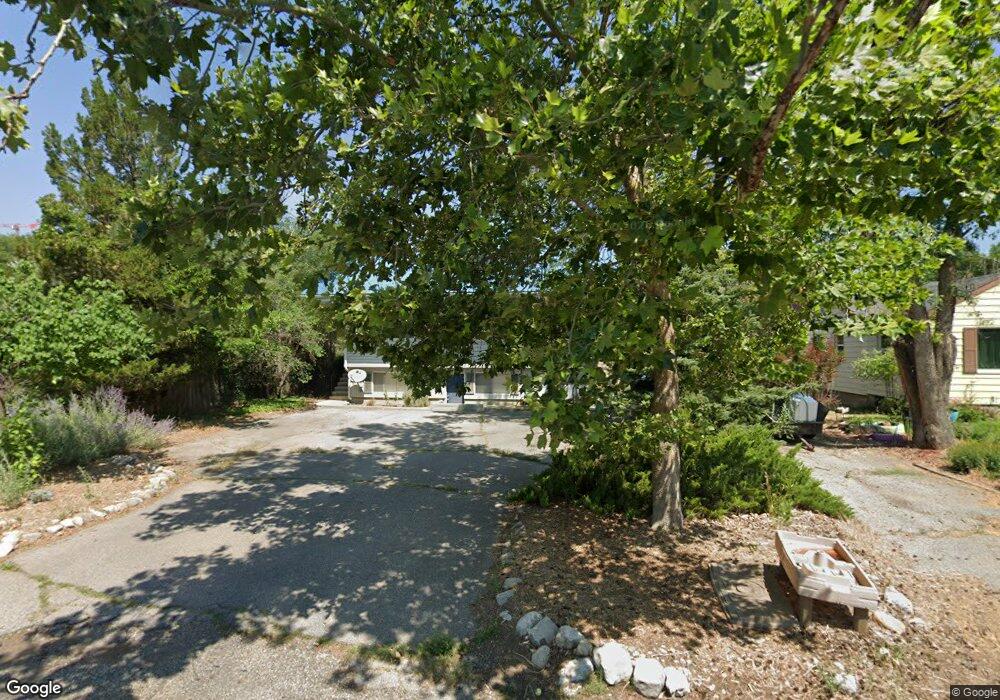
1257 Island Dr Logan, UT 84321
Wilson NeighborhoodEstimated Value: $380,000 - $510,000
--
Bed
--
Bath
1,168
Sq Ft
$361/Sq Ft
Est. Value
About This Home
This home is located at 1257 Island Dr, Logan, UT 84321 and is currently estimated at $421,722, approximately $361 per square foot. 1257 Island Dr is a home with nearby schools including Wilson School, Mount Logan Middle School, and Logan High School.
Ownership History
Date
Name
Owned For
Owner Type
Purchase Details
Closed on
Jul 29, 2022
Sold by
Jurinak Mary A
Bought by
Mary A Jurinak Living Trust
Current Estimated Value
Purchase Details
Closed on
May 28, 2010
Sold by
Jurinak Mary A
Bought by
Jurinak Mary A and Harris Jane J
Purchase Details
Closed on
Oct 23, 2006
Sold by
Monson Ronald L and Monson Wendy Korth
Bought by
Jurinak Mary A
Home Financials for this Owner
Home Financials are based on the most recent Mortgage that was taken out on this home.
Original Mortgage
$73,000
Interest Rate
6.39%
Mortgage Type
New Conventional
Purchase Details
Closed on
May 2, 2005
Sold by
Austin Leslie K
Bought by
Monson Ronald L and Monson Wendy Korth
Home Financials for this Owner
Home Financials are based on the most recent Mortgage that was taken out on this home.
Original Mortgage
$92,000
Interest Rate
5.92%
Mortgage Type
New Conventional
Create a Home Valuation Report for This Property
The Home Valuation Report is an in-depth analysis detailing your home's value as well as a comparison with similar homes in the area
Home Values in the Area
Average Home Value in this Area
Purchase History
| Date | Buyer | Sale Price | Title Company |
|---|---|---|---|
| Mary A Jurinak Living Trust | -- | Eagle Gate Title | |
| Jurinak Mary A | -- | Hickman Land Title Company | |
| Jurinak Mary A | -- | Hickman Land Title Company | |
| Monson Ronald L | -- | Cache Title Company |
Source: Public Records
Mortgage History
| Date | Status | Borrower | Loan Amount |
|---|---|---|---|
| Previous Owner | Jurinak Mary A | $73,000 | |
| Previous Owner | Monson Ronald L | $92,000 |
Source: Public Records
Tax History Compared to Growth
Tax History
| Year | Tax Paid | Tax Assessment Tax Assessment Total Assessment is a certain percentage of the fair market value that is determined by local assessors to be the total taxable value of land and additions on the property. | Land | Improvement |
|---|---|---|---|---|
| 2024 | $1,714 | $390,260 | $137,700 | $252,560 |
| 2023 | $1,785 | $387,560 | $135,000 | $252,560 |
| 2022 | $1,912 | $387,560 | $135,000 | $252,560 |
| 2021 | $1,971 | $339,600 | $110,000 | $229,600 |
| 2020 | $1,458 | $226,100 | $75,000 | $151,100 |
| 2019 | $1,524 | $226,100 | $75,000 | $151,100 |
| 2018 | $1,328 | $179,840 | $60,000 | $119,840 |
| 2017 | $1,283 | $91,850 | $0 | $0 |
| 2016 | $1,330 | $80,850 | $0 | $0 |
| 2015 | $1,172 | $80,850 | $0 | $0 |
| 2014 | $1,059 | $80,850 | $0 | $0 |
| 2013 | -- | $79,155 | $0 | $0 |
Source: Public Records
Map
Nearby Homes
- 1254 Island Dr
- 1387 E 260 N
- 240 N 1480 E
- 1425 E 700 N
- 1045 Fox Farm Rd
- 813 N 1400 E
- 825 N 1400 E
- 10 S 1300 E
- 93 S 1250 E
- 860 E 275 N Unit 1&2
- 27 Canterbury Ln
- 128 S 1170 E
- 1393 Davis Ave
- 14 Shadow Mountain Dr
- 755 Canyon Rd
- 74 Canterbury Cir
- 232 Winding Way
- 147 Winding Way Unit 50
- 159 Winding Way Unit 49
- 1279 Eastridge Dr