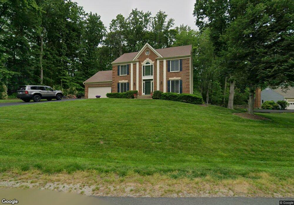
12573 Mcintire Dr Woodbridge, VA 22192
Old Bridge NeighborhoodEstimated Value: $717,597 - $763,000
4
Beds
3
Baths
2,288
Sq Ft
$325/Sq Ft
Est. Value
About This Home
This home is located at 12573 Mcintire Dr, Woodbridge, VA 22192 and is currently estimated at $744,399, approximately $325 per square foot. 12573 Mcintire Dr is a home located in Prince William County with nearby schools including Old Bridge Elementary School, Lake Ridge Middle School, and Woodbridge High School.
Ownership History
Date
Name
Owned For
Owner Type
Purchase Details
Closed on
May 25, 2001
Sold by
Murray Walter J
Bought by
Streng Peter John
Current Estimated Value
Home Financials for this Owner
Home Financials are based on the most recent Mortgage that was taken out on this home.
Original Mortgage
$248,000
Outstanding Balance
$92,740
Interest Rate
7.05%
Mortgage Type
New Conventional
Estimated Equity
$651,659
Create a Home Valuation Report for This Property
The Home Valuation Report is an in-depth analysis detailing your home's value as well as a comparison with similar homes in the area
Home Values in the Area
Average Home Value in this Area
Purchase History
| Date | Buyer | Sale Price | Title Company |
|---|---|---|---|
| Streng Peter John | $312,000 | -- |
Source: Public Records
Mortgage History
| Date | Status | Borrower | Loan Amount |
|---|---|---|---|
| Open | Streng Peter John | $248,000 |
Source: Public Records
Tax History Compared to Growth
Tax History
| Year | Tax Paid | Tax Assessment Tax Assessment Total Assessment is a certain percentage of the fair market value that is determined by local assessors to be the total taxable value of land and additions on the property. | Land | Improvement |
|---|---|---|---|---|
| 2025 | $6,020 | $648,600 | $216,900 | $431,700 |
| 2024 | $6,020 | $605,300 | $200,900 | $404,400 |
| 2023 | $5,975 | $574,200 | $189,700 | $384,500 |
| 2022 | $6,150 | $555,300 | $182,300 | $373,000 |
| 2021 | $6,112 | $501,300 | $164,400 | $336,900 |
| 2020 | $7,237 | $466,900 | $153,800 | $313,100 |
| 2019 | $7,029 | $453,500 | $150,800 | $302,700 |
| 2018 | $5,433 | $449,900 | $146,400 | $303,500 |
| 2017 | $5,540 | $450,000 | $145,300 | $304,700 |
| 2016 | $5,493 | $450,500 | $144,700 | $305,800 |
| 2015 | $5,174 | $438,600 | $140,800 | $297,800 |
| 2014 | $5,174 | $414,800 | $132,400 | $282,400 |
Source: Public Records
Map
Nearby Homes
- 12743 Purdham Dr
- 3493 Wainscott Place
- 12871 Valleywood Dr
- 12834 Valleywood Dr
- 3642 Woodhaven Ct
- 12802 Valleywood Dr
- 12517 Hedges Run Dr
- 2747 Omisol Rd
- 2947 Harding Ct
- 12820 Misty Ln
- 13352 Smoketown Rd
- 3341 Bybrook Ln
- 2896 Chalet Ct
- 12461 Hedges Run Dr
- 12526 Oakwood Dr
- 2893 Chalet Ct
- 12899 Bjork Ln
- 12605 Oakwood Dr
- 12682 Castile Ct
- 12662 Castile Ct
- 12575 Mcintire Dr
- 12559 Cavalier Dr
- 12557 Cavalier Dr
- 12577 Mcintire Dr
- 3271 Grady Ln
- 12576 Mcintire Dr
- 12555 Cavalier Dr
- 12574 Mcintire Dr
- 12563 Cavalier Dr
- 12571 Colgate Ct
- 3269 Grady Ln
- 12579 Mcintire Dr
- 12565 Cavalier Dr
- 12567 Mcintire Dr
- 12558 Cavalier Dr
- 12573 Colgate Ct
- 12575 Colgate Ct
- 12580 Mcintire Dr
- 12572 Colgate Ct
- 12570 Mcintire Dr