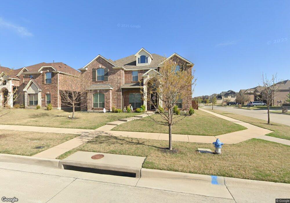
12574 Maplecrest Dr Frisco, TX 75035
East Frisco NeighborhoodEstimated Value: $773,565 - $856,000
5
Beds
4
Baths
3,870
Sq Ft
$214/Sq Ft
Est. Value
About This Home
This home is located at 12574 Maplecrest Dr, Frisco, TX 75035 and is currently estimated at $827,641, approximately $213 per square foot. 12574 Maplecrest Dr is a home with nearby schools including Sem Elementary School, Libby Cash Maus Middle School, and Heritage High School.
Ownership History
Date
Name
Owned For
Owner Type
Purchase Details
Closed on
Dec 30, 2016
Sold by
First Texas Homes Inc
Bought by
Baker Dana and Baker Tramoine
Current Estimated Value
Home Financials for this Owner
Home Financials are based on the most recent Mortgage that was taken out on this home.
Original Mortgage
$370,527
Outstanding Balance
$304,560
Interest Rate
4.03%
Mortgage Type
New Conventional
Estimated Equity
$523,081
Create a Home Valuation Report for This Property
The Home Valuation Report is an in-depth analysis detailing your home's value as well as a comparison with similar homes in the area
Home Values in the Area
Average Home Value in this Area
Purchase History
| Date | Buyer | Sale Price | Title Company |
|---|---|---|---|
| Baker Dana | -- | Sendera Title |
Source: Public Records
Mortgage History
| Date | Status | Borrower | Loan Amount |
|---|---|---|---|
| Open | Baker Dana | $370,527 |
Source: Public Records
Tax History Compared to Growth
Tax History
| Year | Tax Paid | Tax Assessment Tax Assessment Total Assessment is a certain percentage of the fair market value that is determined by local assessors to be the total taxable value of land and additions on the property. | Land | Improvement |
|---|---|---|---|---|
| 2025 | $9,710 | $748,816 | $220,000 | $574,072 |
| 2024 | $9,710 | $680,742 | $220,000 | $590,885 |
| 2023 | $9,710 | $618,856 | $220,000 | $550,920 |
| 2022 | $10,651 | $562,596 | $165,000 | $541,023 |
| 2021 | $10,040 | $511,451 | $121,000 | $390,451 |
| 2020 | $9,497 | $465,272 | $121,000 | $344,272 |
| 2019 | $10,259 | $477,481 | $121,000 | $356,481 |
| 2018 | $10,367 | $475,843 | $121,000 | $354,843 |
| 2017 | $10,046 | $461,129 | $104,500 | $356,629 |
| 2016 | $1,298 | $59,000 | $59,000 | $0 |
Source: Public Records
Map
Nearby Homes
- 13264 Cool Meadow Dr
- 2209 Willard Dr
- 12073 Tyler Dr
- 10721 Leesa Dr
- 10800 Sexton Dr
- 12092 Burnt Prairie Ln
- 12837 Sherbrooke Dr
- 13866 Round Prairie Ln
- 10600 Sedalia Dr
- 10625 Sexton Dr
- 12535 Peace River Dr
- 13305 Wimberley Dr
- 14005 Falcon Ranch Dr
- 11565 Gatesville Dr
- 11821 Stephenville Dr
- 10520 Sexton Dr
- 12592 Lost Valley Dr
- 13557 Carmenita Dr
- 10416 Cochron Dr
- 10425 Matador Dr
- 12542 Maplecrest Dr
- 13129 Cool Meadow Dr
- 12516 Maplecrest Dr
- 13064 Cool Meadow Dr
- 13102 Cool Meadow Dr
- 13026 Cool Meadow Dr
- 12571 Maplecrest Dr
- 12545 Maplecrest Dr
- 12490 Maplecrest
- 13140 Cool Meadow Dr
- 13175 Cool Meadow Dr
- 12992 Cool Meadow Dr
- 12519 Maplecrest Dr
- 13178 Cool Meadow Dr
- 12493 Maplecrest Dr
- 12978 Cool Meadow Dr
- 12464 Maplecrest Dr
- 12493 Fallcreek Dr
- 13209 Cool Meadow Dr
- 12467 Maplecrest Dr