12577 Falcon Ln Lewiston, ID 83501
Estimated Value: $618,014 - $948,000
4
Beds
4
Baths
3,640
Sq Ft
$212/Sq Ft
Est. Value
About This Home
This home is located at 12577 Falcon Ln, Lewiston, ID 83501 and is currently estimated at $770,504, approximately $211 per square foot. 12577 Falcon Ln is a home located in Nez Perce County with nearby schools including Webster Elementary School, Lewiston High School, and Monarch Academy.
Ownership History
Date
Name
Owned For
Owner Type
Purchase Details
Closed on
Jun 20, 2025
Sold by
Inzunza Miguel and Inzunza Shannon
Bought by
Inzunza Shannon L
Current Estimated Value
Home Financials for this Owner
Home Financials are based on the most recent Mortgage that was taken out on this home.
Original Mortgage
$385,000
Outstanding Balance
$384,021
Interest Rate
6.86%
Mortgage Type
New Conventional
Estimated Equity
$386,483
Create a Home Valuation Report for This Property
The Home Valuation Report is an in-depth analysis detailing your home's value as well as a comparison with similar homes in the area
Home Values in the Area
Average Home Value in this Area
Purchase History
| Date | Buyer | Sale Price | Title Company |
|---|---|---|---|
| Inzunza Shannon L | -- | Alliance Title & Escrow |
Source: Public Records
Mortgage History
| Date | Status | Borrower | Loan Amount |
|---|---|---|---|
| Open | Inzunza Shannon L | $385,000 |
Source: Public Records
Tax History Compared to Growth
Tax History
| Year | Tax Paid | Tax Assessment Tax Assessment Total Assessment is a certain percentage of the fair market value that is determined by local assessors to be the total taxable value of land and additions on the property. | Land | Improvement |
|---|---|---|---|---|
| 2025 | $4,751 | $702,061 | $129,500 | $572,561 |
| 2024 | $45 | $598,496 | $117,750 | $480,746 |
| 2023 | $4,029 | $555,657 | $89,000 | $466,657 |
| 2022 | $4,466 | $515,425 | $89,025 | $426,400 |
| 2021 | $2,786 | $344,399 | $50,843 | $293,556 |
| 2020 | $2,677 | $297,510 | $46,222 | $251,288 |
| 2019 | $2,167 | $252,158 | $46,221 | $205,937 |
| 2018 | $2,189 | $252,154 | $46,217 | $205,937 |
| 2017 | $1,756 | $0 | $0 | $0 |
| 2016 | $1,756 | $0 | $0 | $0 |
| 2015 | $1,697 | $0 | $0 | $0 |
| 2014 | $1,750 | $221,954 | $40,250 | $181,704 |
Source: Public Records
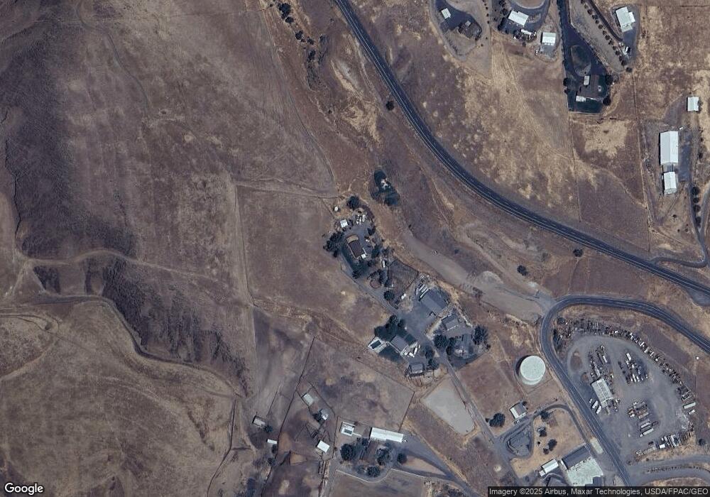
Map
Nearby Homes
- 12608 Falcon Ln
- 12627 Falcon Ln
- 12670 Quail Ln
- 12606 Quail Ln
- 12650 Sunny Ln
- 28880 Old Spiral Hwy
- 12652 Sunny Ln
- 12692 Sunny Ln
- 12789 Falcon Ln
- 28888 Old Spiral Hwy
- 12685 Sunny Ln
- 28491 Old Spiral Hwy
- 23946 Big Sky Ln
- 24264 Angel Ln
- 23975 Spiral Dr
- 23832 Big Sky Ln
- 24055 Tonka Hill Dr Unit 719
- 24055 Tonka Hill Dr
- 23899 Spiral Dr
- 23748 Big Sky Ln