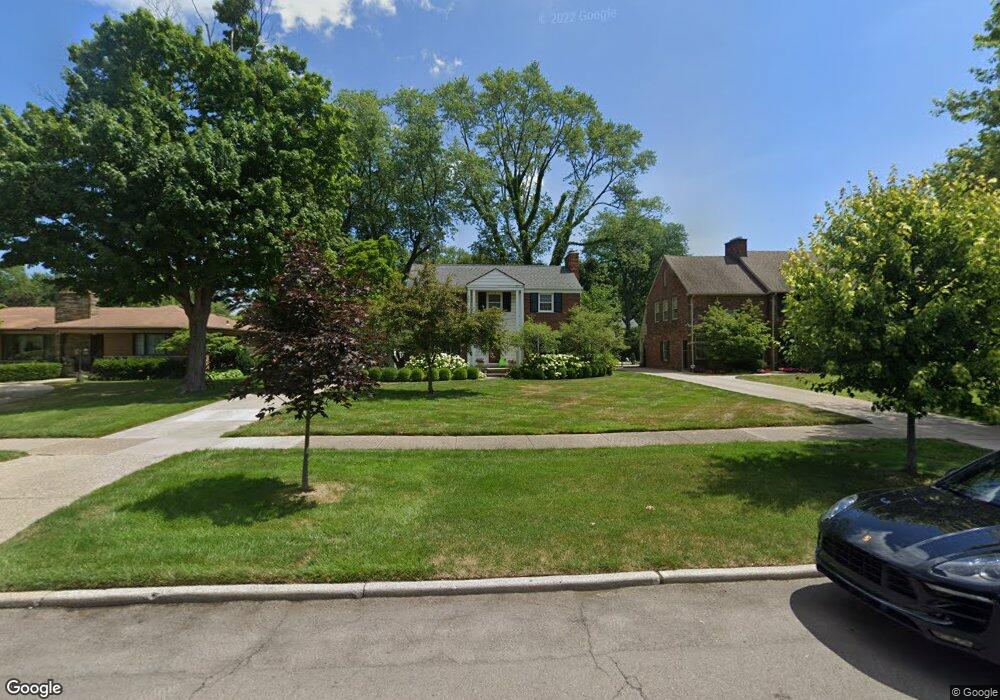
1258 Devonshire Rd Grosse Pointe Park, MI 48230
Estimated Value: $514,908 - $638,000
Studio
3
Baths
2,024
Sq Ft
$281/Sq Ft
Est. Value
About This Home
This home is located at 1258 Devonshire Rd, Grosse Pointe Park, MI 48230 and is currently estimated at $569,227, approximately $281 per square foot. 1258 Devonshire Rd is a home located in Wayne County with nearby schools including George Defer Elementary School, Pierce Middle School, and Grosse Pointe South High School.
Ownership History
Date
Name
Owned For
Owner Type
Purchase Details
Closed on
Jun 24, 2002
Sold by
Ganem Charlotte T
Bought by
Koster Barbara J
Current Estimated Value
Purchase Details
Closed on
Sep 24, 1999
Sold by
Ganem Charlotte T
Bought by
Ganem Family Trust
Create a Home Valuation Report for This Property
The Home Valuation Report is an in-depth analysis detailing your home's value as well as a comparison with similar homes in the area
Home Values in the Area
Average Home Value in this Area
Purchase History
| Date | Buyer | Sale Price | Title Company |
|---|---|---|---|
| Koster Barbara J | $365,000 | -- | |
| Ganem Family Trust | -- | -- |
Source: Public Records
Tax History
| Year | Tax Paid | Tax Assessment Tax Assessment Total Assessment is a certain percentage of the fair market value that is determined by local assessors to be the total taxable value of land and additions on the property. | Land | Improvement |
|---|---|---|---|---|
| 2025 | $4,618 | $251,000 | $0 | $0 |
| 2024 | $4,445 | $243,200 | $0 | $0 |
| 2023 | $4,245 | $225,400 | $0 | $0 |
| 2022 | $4,033 | $215,300 | $0 | $0 |
| 2021 | $7,952 | $225,600 | $0 | $0 |
| 2019 | $8,183 | $197,700 | $0 | $0 |
| 2018 | $3,845 | $177,000 | $0 | $0 |
| 2017 | $8,747 | $98,400 | $0 | $0 |
| 2016 | $8,105 | $161,600 | $0 | $0 |
| 2015 | $14,390 | $153,400 | $0 | $0 |
| 2013 | $13,940 | $141,500 | $0 | $0 |
| 2012 | $3,928 | $148,200 | $63,200 | $85,000 |
Source: Public Records
Map
Nearby Homes
- 1206 Balfour St
- 3430 Bedford St
- 1338 Somerset Ave
- 3460 Bedford St
- 1254 Beaconsfield Ave
- 3520 Audubon Rd
- 3675 Bedford St
- 1328 Lakepointe St
- 1264 Bishop Rd
- 1417 Beaconsfield Ave
- 3690 Three Mile Dr
- 3709 Haverhill St
- 3920 Devonshire Rd
- 3650 Somerset Ave
- 3921 Three Mile Dr
- 3903 Berkshire St
- 3934 Berkshire St
- 1239 Maryland St
- 1048 Lakepointe St Unit A
- 1083 Lakepointe St
- 1246 Devonshire Rd
- 1266 Devonshire Rd
- 1253 Bedford Rd
- 1259 Bedford Rd
- 1242 Devonshire Rd
- 1265 Bedford Rd
- 1241 Bedford Rd
- 1304 Devonshire Rd
- 1232 Devonshire Rd
- 1235 Bedford Rd
- 1305 Bedford Rd
- 1229 Bedford Rd
- 1312 Devonshire Rd
- 1241 Devonshire Rd
- 1311 Bedford Rd
- 1224 Devonshire Rd
- 1252 Bedford Rd
- 1258 Bedford Rd
- 1248 Bedford Rd
- 1251 Devonshire Rd
Your Personal Tour Guide
Ask me questions while you tour the home.