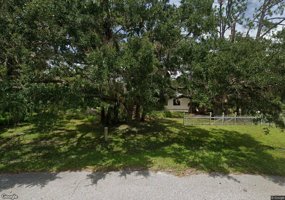
1258 Mohawk Dr Port Charlotte, FL 33952
Estimated Value: $326,000 - $460,000
3
Beds
2
Baths
3,154
Sq Ft
$121/Sq Ft
Est. Value
About This Home
This home is located at 1258 Mohawk Dr, Port Charlotte, FL 33952 and is currently estimated at $381,648, approximately $121 per square foot. 1258 Mohawk Dr is a home located in Charlotte County with nearby schools including Liberty Elementary School, Murdock Middle School, and Port Charlotte High School.
Ownership History
Date
Name
Owned For
Owner Type
Purchase Details
Closed on
Sep 30, 2013
Sold by
King Arthur L and King Gina G
Bought by
Sb & G Limited Holdings Llc
Current Estimated Value
Purchase Details
Closed on
Jul 27, 2004
Sold by
King Mary Anne
Bought by
King Arthur L
Home Financials for this Owner
Home Financials are based on the most recent Mortgage that was taken out on this home.
Original Mortgage
$181,520
Interest Rate
5.96%
Mortgage Type
Purchase Money Mortgage
Purchase Details
Closed on
Jun 11, 1999
Sold by
King Robert D and King Mary Anne
Bought by
King Mary Anne
Create a Home Valuation Report for This Property
The Home Valuation Report is an in-depth analysis detailing your home's value as well as a comparison with similar homes in the area
Home Values in the Area
Average Home Value in this Area
Purchase History
| Date | Buyer | Sale Price | Title Company |
|---|---|---|---|
| Sb & G Limited Holdings Llc | $124,100 | None Available | |
| King Arthur L | $231,000 | Platinum Title Insurance Inc | |
| King Mary Anne | -- | -- |
Source: Public Records
Mortgage History
| Date | Status | Borrower | Loan Amount |
|---|---|---|---|
| Previous Owner | King Arthur L | $181,520 |
Source: Public Records
Tax History Compared to Growth
Tax History
| Year | Tax Paid | Tax Assessment Tax Assessment Total Assessment is a certain percentage of the fair market value that is determined by local assessors to be the total taxable value of land and additions on the property. | Land | Improvement |
|---|---|---|---|---|
| 2023 | $5,694 | $239,523 | $0 | $0 |
| 2022 | $5,025 | $306,319 | $25,500 | $280,819 |
| 2021 | $4,343 | $213,178 | $10,710 | $202,468 |
| 2020 | $4,164 | $206,834 | $9,010 | $197,824 |
| 2019 | $3,922 | $200,670 | $9,350 | $191,320 |
| 2018 | $3,514 | $194,279 | $8,500 | $185,779 |
| 2017 | $3,232 | $167,005 | $11,956 | $155,049 |
| 2016 | $3,008 | $136,643 | $0 | $0 |
| 2015 | $2,800 | $124,221 | $0 | $0 |
| 2014 | $2,543 | $112,928 | $0 | $0 |
Source: Public Records
Map
Nearby Homes
- 20307 Zelda Ave
- 1302 Arrow St
- 20136 Susan Ave
- 20347 Mount Prospect Ave
- 20159 Holland Ave
- 1366 Preston St
- 20260 Tralee Dr
- 1160 Peppertree Ln
- 20185 & 20193 Mount Prospect Ave
- 1170 Peppertree Ln
- 1317 Arrow St
- 1181 Oxsalida St
- 20370 Mount Prospect Ave
- 20431 Stardust Ave
- 20178 Mount Prospect Ave
- 1357 Nimrod St
- 20430 Sapling Ave
- 20118 Quesada Ave
- 20170 Tralee Dr
- 1196 Hinton St
- 1272 Mohawk Dr
- 1247 Mohawk Dr
- 1285 Mohawk Dr
- 1217 Somerset St
- 1230 Mohawk Dr
- 1282 Mohawk Dr
- 1191 Somerset St
- 1292 Mohawk Dr
- 1227 Mohawk Dr
- 1220 Mohawk Dr
- 1245 Somerset St
- 1293 Mohawk Dr
- 1175 Somerset St
- 20300 Zelda Ave
- 1302 Mohawk Dr
- 20308 Silent Ave
- 20323 Silent Ave
- 1253 Somerset St
- 1210 Mohawk Dr
- 1301 Mohawk Dr