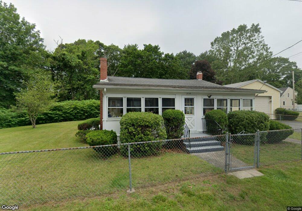
1258 Robin St New Bedford, MA 02745
Estimated Value: $397,000 - $508,000
2
Beds
1
Bath
1,320
Sq Ft
$347/Sq Ft
Est. Value
About This Home
This home is located at 1258 Robin St, New Bedford, MA 02745 and is currently estimated at $457,558, approximately $346 per square foot. 1258 Robin St is a home located in Bristol County with nearby schools including Casimir Pulaski Elementary School, Normandin Middle School, and New Bedford High School.
Create a Home Valuation Report for This Property
The Home Valuation Report is an in-depth analysis detailing your home's value as well as a comparison with similar homes in the area
Home Values in the Area
Average Home Value in this Area
Tax History Compared to Growth
Tax History
| Year | Tax Paid | Tax Assessment Tax Assessment Total Assessment is a certain percentage of the fair market value that is determined by local assessors to be the total taxable value of land and additions on the property. | Land | Improvement |
|---|---|---|---|---|
| 2025 | $4,627 | $409,100 | $192,100 | $217,000 |
| 2024 | $6,102 | $508,500 | $276,200 | $232,300 |
| 2023 | $5,169 | $361,700 | $167,400 | $194,300 |
| 2022 | $4,869 | $313,300 | $155,500 | $157,800 |
| 2021 | $4,806 | $308,300 | $155,500 | $152,800 |
| 2020 | $4,859 | $300,700 | $154,100 | $146,600 |
| 2019 | $4,677 | $284,000 | $148,200 | $135,800 |
| 2018 | $4,477 | $269,200 | $148,200 | $121,000 |
| 2017 | $4,142 | $248,200 | $135,600 | $112,600 |
| 2016 | $3,862 | $234,200 | $132,800 | $101,400 |
| 2015 | $3,568 | $226,800 | $127,300 | $99,500 |
| 2014 | $3,406 | $224,700 | $124,500 | $100,200 |
Source: Public Records
Map
Nearby Homes
- 13 Luscomb Ln
- 16 Swallow St
- 1599 Braley Rd Unit 68
- 1069 Cherokee St
- 34 Poplar Rd
- 4597 Acushnet Ave
- 210 Heritage Dr
- 26 Blueberry Dr
- 595 Quanapoag Rd
- 145 Heritage Dr
- 1063 Westgate St
- SS Charbonneau Ln
- 62 Longview Rd
- 2 Woodland Rd
- 63 County Rd
- 700 Pine Hill Dr
- 0 Costa Dr
- 1269 Bartlett St
- 1350 Phillips Rd
- 1045 Forbes St