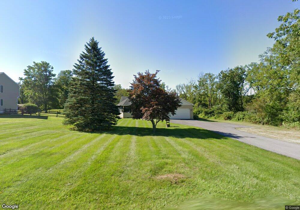
1258 State Rd Coopersburg, PA 18036
Estimated Value: $455,000 - $528,000
2
Beds
2
Baths
1,747
Sq Ft
$283/Sq Ft
Est. Value
About This Home
This home is located at 1258 State Rd, Coopersburg, PA 18036 and is currently estimated at $494,873, approximately $283 per square foot. 1258 State Rd is a home located in Bucks County with nearby schools including Springfield Elementary School, Palisades Middle School, and Palisades High School.
Ownership History
Date
Name
Owned For
Owner Type
Purchase Details
Closed on
Apr 30, 1996
Sold by
Larkin Robert J and Larkin Charlotte L
Bought by
Marchesani Michael A and Marchesani Lorraine M
Current Estimated Value
Home Financials for this Owner
Home Financials are based on the most recent Mortgage that was taken out on this home.
Original Mortgage
$90,000
Outstanding Balance
$5,021
Interest Rate
7.77%
Estimated Equity
$489,852
Create a Home Valuation Report for This Property
The Home Valuation Report is an in-depth analysis detailing your home's value as well as a comparison with similar homes in the area
Home Values in the Area
Average Home Value in this Area
Purchase History
| Date | Buyer | Sale Price | Title Company |
|---|---|---|---|
| Marchesani Michael A | $169,000 | -- |
Source: Public Records
Mortgage History
| Date | Status | Borrower | Loan Amount |
|---|---|---|---|
| Open | Marchesani Michael A | $90,000 |
Source: Public Records
Tax History Compared to Growth
Tax History
| Year | Tax Paid | Tax Assessment Tax Assessment Total Assessment is a certain percentage of the fair market value that is determined by local assessors to be the total taxable value of land and additions on the property. | Land | Improvement |
|---|---|---|---|---|
| 2025 | $5,112 | $31,520 | $5,280 | $26,240 |
| 2024 | $5,112 | $31,520 | $5,280 | $26,240 |
| 2023 | $5,049 | $31,520 | $5,280 | $26,240 |
| 2022 | $4,900 | $31,520 | $5,280 | $26,240 |
| 2021 | $4,805 | $31,520 | $5,280 | $26,240 |
| 2020 | $4,805 | $31,520 | $5,280 | $26,240 |
| 2019 | $4,752 | $31,520 | $5,280 | $26,240 |
| 2018 | $4,720 | $31,520 | $5,280 | $26,240 |
| 2017 | $4,647 | $31,520 | $5,280 | $26,240 |
| 2016 | $4,451 | $31,520 | $5,280 | $26,240 |
| 2015 | $3,281 | $31,520 | $5,280 | $26,240 |
| 2014 | $3,281 | $31,520 | $5,280 | $26,240 |
Source: Public Records
Map
Nearby Homes
- 2010 Sunrise Dr
- 2010 Sunrise Dr Unit Lot 1
- 0 Sunrise Dr Unit PABU2066864
- 2022 Sunrise Dr
- 2022 Sunrise Dr Unit Lot 2
- 2035 Sunrise Dr
- 2061 Sunrise Dr Unit Lot 6
- 2061 Sunrise Dr
- 2047 Sunrise Dr Unit 8
- 2047 Sunrise Dr
- 2034 Sunrise Dr Unit Lot 3
- 2034 Sunrise Dr
- 2046 Sunrise Dr Unit Lot 4
- 2046 Sunrise Dr
- 2059 Sunrise Dr Unit lot 7
- 2059 Sunrise Dr
- 2011 Sunrise Dr Unit 11
- 2011 Sunrise Dr
- 995 Passer Rd
- 1219 Ebert Rd
- 1262 State Rd
- 1266 State Rd
- 2296 Richlandtown Pike
- Lot #3 State Rd
- Lot #1 State Rd
- 2286 Richlandtown Pike
- 1208 State Rd
- 1279 State Rd
- 0 State Rd
- 2310 Richlandtown Pike
- 0 Richlandtown Pike Unit 1006976626
- 0 Richlandtown Pike Unit 5874000
- 0 Richlandtown Pike Unit 6026776
- 0 Richlandtown Pike Unit PABU442706
- 0 Richlandtown Pike Unit PABU444366
- 0 Richlandtown Pike Unit 368844
- 0 Richlandtown Pike Unit 407844
- 0 Richlandtown Pike Unit 541169
- 2232 Richlandtown Pike
- 2322 Richlandtown Pike