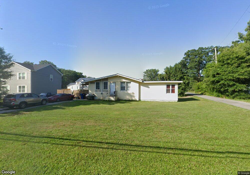
12581 Sub Station Rd Waldorf, MD 20601
Estimated Value: $335,000 - $367,000
3
Beds
1
Bath
1,540
Sq Ft
$226/Sq Ft
Est. Value
About This Home
This home is located at 12581 Sub Station Rd, Waldorf, MD 20601 and is currently estimated at $348,435, approximately $226 per square foot. 12581 Sub Station Rd is a home located in Charles County with nearby schools including J.P. Ryon Elementary School, John Hanson Middle School, and Thomas Stone High School.
Ownership History
Date
Name
Owned For
Owner Type
Purchase Details
Closed on
May 23, 2013
Sold by
Equity Trust Company and Dixon David
Bought by
D & T Properties Llc
Current Estimated Value
Home Financials for this Owner
Home Financials are based on the most recent Mortgage that was taken out on this home.
Original Mortgage
$950,000
Outstanding Balance
$441,485
Interest Rate
3.39%
Mortgage Type
Commercial
Estimated Equity
-$93,050
Purchase Details
Closed on
Feb 17, 2012
Sold by
D & T Properties Llc
Bought by
Equity Trust Equity Trust Company
Purchase Details
Closed on
Nov 1, 2010
Sold by
Vann Stephen A
Bought by
Deutsche Bank Trust Co
Purchase Details
Closed on
Dec 8, 2004
Sold by
Huntt Joseph H and Huntt Darlene L
Bought by
Vann Stephen A
Purchase Details
Closed on
Jul 1, 1999
Sold by
Ledsome Mary Beth and Ledsome Edwin H
Bought by
Huntt Joseph H and Huntt Darlene L
Create a Home Valuation Report for This Property
The Home Valuation Report is an in-depth analysis detailing your home's value as well as a comparison with similar homes in the area
Home Values in the Area
Average Home Value in this Area
Purchase History
| Date | Buyer | Sale Price | Title Company |
|---|---|---|---|
| D & T Properties Llc | $90,000 | None Available | |
| Equity Trust Equity Trust Company | $82,000 | None Available | |
| Deutsche Bank Trust Co | $185,000 | -- | |
| Vann Stephen A | $173,000 | -- | |
| Huntt Joseph H | $75,829 | -- |
Source: Public Records
Mortgage History
| Date | Status | Borrower | Loan Amount |
|---|---|---|---|
| Open | D & T Properties Llc | $950,000 | |
| Closed | Huntt Joseph H | -- |
Source: Public Records
Tax History
| Year | Tax Paid | Tax Assessment Tax Assessment Total Assessment is a certain percentage of the fair market value that is determined by local assessors to be the total taxable value of land and additions on the property. | Land | Improvement |
|---|---|---|---|---|
| 2025 | $3,620 | $247,933 | -- | -- |
| 2024 | $3,534 | $243,900 | $120,000 | $123,900 |
| 2023 | $3,110 | $217,633 | $0 | $0 |
| 2022 | $2,787 | $191,367 | $0 | $0 |
| 2021 | $2,316 | $165,100 | $95,000 | $70,100 |
| 2020 | $2,316 | $159,467 | $0 | $0 |
| 2019 | $2,320 | $153,833 | $0 | $0 |
| 2018 | $2,211 | $148,200 | $85,000 | $63,200 |
| 2017 | $2,193 | $147,300 | $0 | $0 |
| 2016 | -- | $146,400 | $0 | $0 |
| 2015 | $2,387 | $145,500 | $0 | $0 |
| 2014 | $2,387 | $145,500 | $0 | $0 |
Source: Public Records
Map
Nearby Homes
- 12926 Couples Place
- 2290 Mattawoman Beantown Rd
- 12820 Twin Oak Dr
- 2549 Mattawoman Beantown Rd
- 1914 Black Oak Ct
- 3502 Lisa Ln
- 2012 English Oak Ct
- 2650 Pinewood Dr
- 3203 Pinefield Cir
- 2217 Pinefield Way
- 2454 Sagewood Ct
- 4208 Sandwich Cir
- 2204 Holly Oak Ct
- 2200 Holly Oak Ct
- 919 Truro Ln
- 2914 Sandwich Dr
- 7010 Evergreen Dr
- 5014 Nicholas Rd
- 3015 Walnut Ln
- 1305 Harwich Dr
- 12571 Sub Station Rd
- 12593 Sub Station Rd
- 12577 Sub Station Rd
- 1732 Red Oak Ln
- 1734 Red Oak Ln
- 12561 Sub Station Rd
- 12597 Sub Station Rd
- 12553 Sub Station Rd
- 1735 Red Oak Ln
- 1736 Red Oak Ln
- 12590 Sub Station Rd
- 1737 Red Oak Ln
- 12599 Sub Station Rd
- 12547 Sub Station Rd
- 12605 Sub Station Rd
- 1739 Red Oak Ln
- 1738 Red Oak Ln
- 1740 Red Oak Ln
- 12500 Sub Station Rd
- 1743 Red Oak Ln