Estimated Value: $336,000 - $346,000
3
Beds
2
Baths
1,972
Sq Ft
$172/Sq Ft
Est. Value
About This Home
This home is located at 12582 Todd Rd, Welsh, LA 70591 and is currently estimated at $338,949, approximately $171 per square foot. 12582 Todd Rd is a home located in Jefferson Davis Parish with nearby schools including Welsh Elementary School, Welsh-Roanoke Junior High School, and Welsh High School.
Ownership History
Date
Name
Owned For
Owner Type
Purchase Details
Closed on
Jan 5, 2017
Sold by
Gaspard Floyd A and Gaspard Melissa A
Bought by
King Daniel K and King Kathleen C
Current Estimated Value
Purchase Details
Closed on
Aug 5, 2005
Sold by
Taylor Patrick Erwin and Taylor Brandie Skye
Bought by
Gaspard Floyd Anthony and Gaspard Melissa Armstrong
Home Financials for this Owner
Home Financials are based on the most recent Mortgage that was taken out on this home.
Original Mortgage
$29,046
Interest Rate
5.65%
Mortgage Type
Credit Line Revolving
Create a Home Valuation Report for This Property
The Home Valuation Report is an in-depth analysis detailing your home's value as well as a comparison with similar homes in the area
Home Values in the Area
Average Home Value in this Area
Purchase History
| Date | Buyer | Sale Price | Title Company |
|---|---|---|---|
| King Daniel K | $25,000 | -- | |
| Gaspard Floyd Anthony | $13,000 | None Available |
Source: Public Records
Mortgage History
| Date | Status | Borrower | Loan Amount |
|---|---|---|---|
| Previous Owner | Gaspard Floyd Anthony | $29,046 |
Source: Public Records
Tax History Compared to Growth
Tax History
| Year | Tax Paid | Tax Assessment Tax Assessment Total Assessment is a certain percentage of the fair market value that is determined by local assessors to be the total taxable value of land and additions on the property. | Land | Improvement |
|---|---|---|---|---|
| 2024 | $2,216 | $21,335 | $796 | $20,539 |
| 2023 | $1,738 | $18,645 | $785 | $17,860 |
| 2022 | $1,039 | $18,645 | $785 | $17,860 |
| 2021 | $10 | $109 | $109 | $0 |
| 2020 | $9 | $100 | $100 | $0 |
| 2019 | $10 | $100 | $100 | $0 |
| 2018 | $11 | $100 | $100 | $0 |
| 2017 | $11 | $100 | $100 | $0 |
| 2015 | $206 | $1,986 | $686 | $1,300 |
| 2014 | $207 | $1,986 | $686 | $1,300 |
| 2013 | $210 | $1,986 | $686 | $1,300 |
Source: Public Records
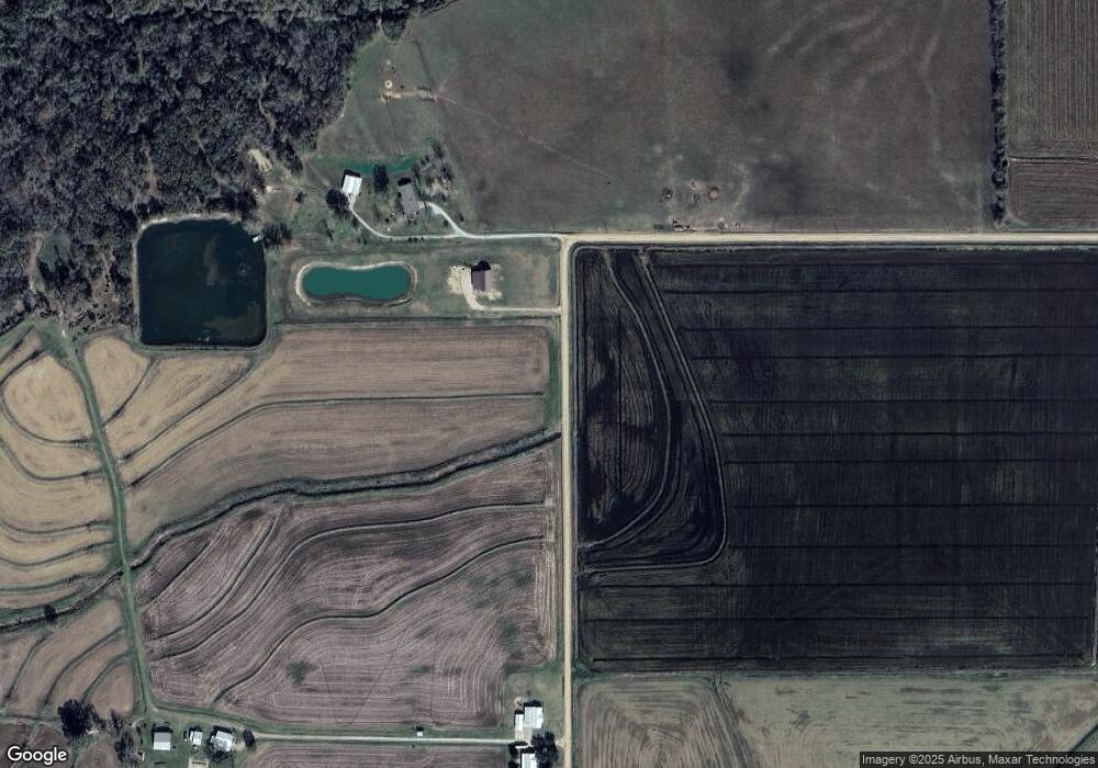
Map
Nearby Homes
- 11475 David Rd
- 13178 Leblanc Rd
- 0 Ardoin Cove Rd Unit SWL25102095
- 412 Derouen St
- 0 Sonnier St Unit SWL25002214
- 0 Sonnier St Unit SWL25002215
- 0 S Simmons St Unit SWL25002203
- 0 S Simmons St Unit SWL25002209
- 0 S Simmons St Unit SWL25002206
- 0 S Simmons St Unit SWL25002205
- 0 S Simmons St Unit SWL25002208
- 0 S Simmons St Unit SWL25002217
- 0 S Simmons St Unit SWL25002207
- 0 Plank Rd
- 0 Grove St Unit SWL25002212
- 0 Grove St Unit SWL25002213
- 0 Grove St Unit SWL25002211
- 0 Grove St Unit SWL25002210
- 310 Louviere St
- 0 Elizabeth St
- 12574 Todd Rd
- 12722 Todd Rd
- 12732 Todd Rd
- 12738 Todd Rd
- 12493 Bellard Rd
- 12449 Bellard Rd
- 12537 Bellard Rd
- 12576 Bellard Rd
- 12632 Bellard Rd
- 12602 Bellard Rd
- 12480 Bellard Rd
- 12486 Bellard Rd
- 10057 Highway 99
- 12397 Bellard Rd
- 10425 Highway 99
- 12506 Bellard Rd
- 12350 Bellard Rd
- 12395 Bellard Rd
- 12381 Bellard Rd
- 12334 Bellard Rd