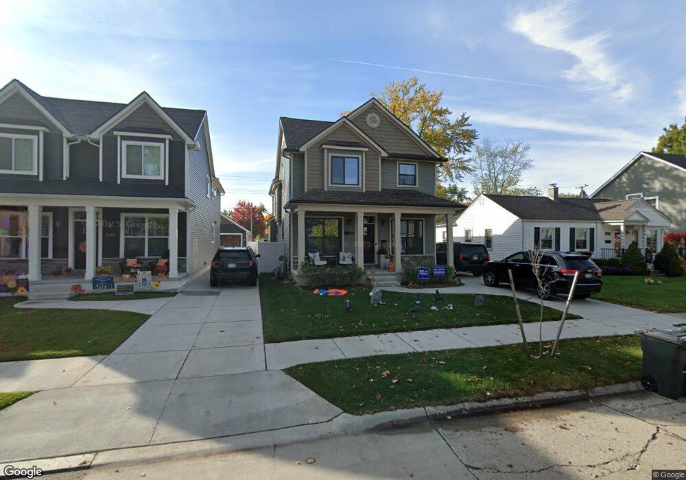
1259 Cambridge Rd Unit Bldg-Unit Berkley, MI 48072
Estimated Value: $637,000 - $771,000
3
Beds
4
Baths
2,508
Sq Ft
$290/Sq Ft
Est. Value
About This Home
This home is located at 1259 Cambridge Rd Unit Bldg-Unit, Berkley, MI 48072 and is currently estimated at $728,534, approximately $290 per square foot. 1259 Cambridge Rd Unit Bldg-Unit is a home located in Oakland County with nearby schools including Rogers Elementary School, Anderson Middle School, and Berkley High School.
Ownership History
Date
Name
Owned For
Owner Type
Purchase Details
Closed on
Jun 30, 2023
Sold by
Collins Catherine
Bought by
Petrovski Igor and Vucevski Aleksandra
Current Estimated Value
Purchase Details
Closed on
Jul 26, 2022
Sold by
Alford Jonathan R
Bought by
Alford Catherine C
Purchase Details
Closed on
Jun 21, 2021
Sold by
Black Jason and Black Bridget
Bought by
Alford Catherine C and Alford Jonathan R
Home Financials for this Owner
Home Financials are based on the most recent Mortgage that was taken out on this home.
Original Mortgage
$599,000
Interest Rate
2.9%
Mortgage Type
New Conventional
Purchase Details
Closed on
Mar 13, 2018
Sold by
Ab Homes Llc
Bought by
Black Jason
Create a Home Valuation Report for This Property
The Home Valuation Report is an in-depth analysis detailing your home's value as well as a comparison with similar homes in the area
Home Values in the Area
Average Home Value in this Area
Purchase History
| Date | Buyer | Sale Price | Title Company |
|---|---|---|---|
| Petrovski Igor | $690,000 | None Listed On Document | |
| Alford Catherine C | -- | None Listed On Document | |
| Alford Catherine C | $599,000 | Devon Title Agency | |
| Black Jason | $527,000 | None Available |
Source: Public Records
Mortgage History
| Date | Status | Borrower | Loan Amount |
|---|---|---|---|
| Previous Owner | Alford Catherine C | $599,000 |
Source: Public Records
Tax History Compared to Growth
Tax History
| Year | Tax Paid | Tax Assessment Tax Assessment Total Assessment is a certain percentage of the fair market value that is determined by local assessors to be the total taxable value of land and additions on the property. | Land | Improvement |
|---|---|---|---|---|
| 2024 | $13,182 | $339,260 | $0 | $0 |
| 2023 | $11,302 | $320,450 | $0 | $0 |
| 2022 | $11,295 | $292,770 | $0 | $0 |
| 2021 | $10,726 | $290,300 | $0 | $0 |
| 2020 | $10,260 | $289,600 | $0 | $0 |
| 2019 | $10,771 | $266,420 | $0 | $0 |
| 2018 | $7,182 | $182,910 | $0 | $0 |
| 2017 | $1,965 | $33,840 | $0 | $0 |
Source: Public Records
Map
Nearby Homes
- 1197 Columbia Rd
- 1761 Stanford Rd
- 1868 Cass Blvd
- 1149 Larkmoor Blvd
- 1610 Larkmoor Blvd
- 10454 Borgman Ave
- 800 Cambridge Rd
- 10034 Lasalle Blvd
- 686 Princeton Rd
- 1674 Eaton Rd
- 1673 West Blvd
- 1322 Catalpa Dr
- 1908 Cambridge Rd
- 1714 W Farnum Ave
- 1320 Hartrick Ave
- 820 Oakridge Ave
- 400 Josephine Ave
- 10154 Elgin Ave
- 300 Baker St
- 10774 Lincoln Dr
- 1259 Cambridge Rd
- 1249 Cambridge Rd
- 1271 Cambridge Rd
- 1239 Cambridge Rd
- 1260 Columbia Rd
- 1240 Columbia Rd
- 1295 Cambridge Rd
- 1229 Cambridge Rd
- 1272 Columbia Rd
- 1250 Columbia Rd
- 1296 Columbia Rd
- 1230 Columbia Rd
- 1311 Cambridge Rd
- 1312 Columbia Rd
- 1260 Cambridge Rd Unit Bldg-Unit
- 1260 Cambridge Rd
- 1272 Cambridge Rd
- 1219 Cambridge Rd
- 1250 Cambridge Rd
- 1220 Columbia Rd