1259 County Road 2755 Decatur, TX 76234
Estimated Value: $684,000 - $1,333,967
--
Bed
3
Baths
3,422
Sq Ft
$295/Sq Ft
Est. Value
About This Home
This home is located at 1259 County Road 2755, Decatur, TX 76234 and is currently estimated at $1,008,984, approximately $294 per square foot. 1259 County Road 2755 is a home located in Wise County with nearby schools including Slidell Schools.
Ownership History
Date
Name
Owned For
Owner Type
Purchase Details
Closed on
Jul 7, 2022
Sold by
White Douglas D and White Margaret L
Bought by
White Jody and White Bethany
Current Estimated Value
Home Financials for this Owner
Home Financials are based on the most recent Mortgage that was taken out on this home.
Original Mortgage
$217,600
Outstanding Balance
$207,040
Interest Rate
5.1%
Mortgage Type
New Conventional
Estimated Equity
$801,944
Purchase Details
Closed on
Nov 4, 1996
Bought by
Frazey David W and Frazey Catherine C
Purchase Details
Closed on
Jan 1, 1901
Bought by
Frazey David W and Frazey Catherine C
Create a Home Valuation Report for This Property
The Home Valuation Report is an in-depth analysis detailing your home's value as well as a comparison with similar homes in the area
Home Values in the Area
Average Home Value in this Area
Purchase History
| Date | Buyer | Sale Price | Title Company |
|---|---|---|---|
| White Jody | -- | Title Resources | |
| Frazey David W | -- | -- | |
| Frazey David W | -- | -- |
Source: Public Records
Mortgage History
| Date | Status | Borrower | Loan Amount |
|---|---|---|---|
| Open | White Jody | $217,600 |
Source: Public Records
Tax History Compared to Growth
Tax History
| Year | Tax Paid | Tax Assessment Tax Assessment Total Assessment is a certain percentage of the fair market value that is determined by local assessors to be the total taxable value of land and additions on the property. | Land | Improvement |
|---|---|---|---|---|
| 2025 | $2,958 | $649,496 | $13,959 | $635,537 |
| 2024 | $2,958 | $620,477 | $0 | $0 |
| 2023 | $7,495 | $1,329,528 | $0 | $0 |
| 2022 | $7,376 | $1,160,134 | $0 | $0 |
| 2021 | $6,838 | $900,100 | $442,380 | $457,720 |
| 2020 | $6,594 | $880,380 | $442,380 | $438,000 |
| 2019 | $6,787 | $804,290 | $372,570 | $431,720 |
| 2018 | $6,843 | $798,300 | $372,570 | $425,730 |
| 2017 | $6,406 | $707,720 | $307,690 | $400,030 |
| 2016 | $5,873 | $657,270 | $264,440 | $392,830 |
| 2015 | -- | $636,960 | $264,440 | $372,520 |
| 2014 | -- | $333,960 | $3,060 | $330,900 |
Source: Public Records
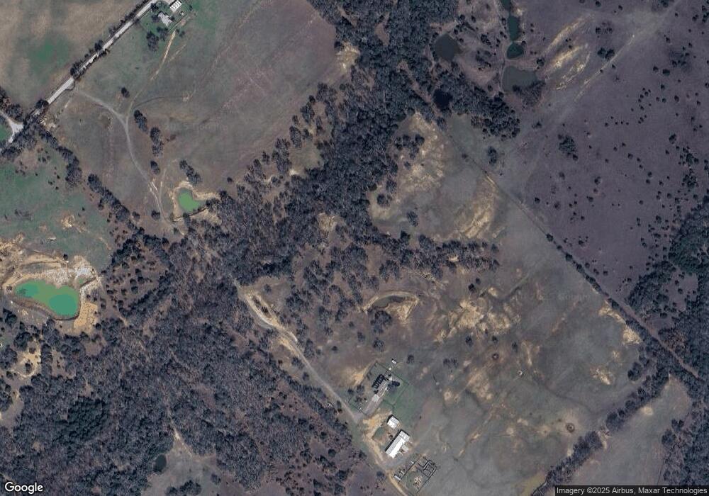
Map
Nearby Homes
- TBD Parker Dairy Rd
- 1370 Parker Dairy Rd
- 1411 Parker Dairy Rd
- 850 County Road 2750
- TBD Lot 7 Parker Dairy Rd
- 334 Greanead Rd
- 174 County Road 2690
- 0 Pr-2777 Unit 21021129
- TBD 13.7+/- Acres County Road 2560
- TBD Merritt Rd
- 0 Calhoun Dr
- 469 Merritt Rd
- Tract 2 County Rd 2745
- TBD Lot 2 Valentine Bluff Rd
- 755 County Road 2845
- 117 County Road 2646
- 3688 N Fm 1655
- 2454 Private Rd
- 2591 Fm 1204
- TBD Pr 2454