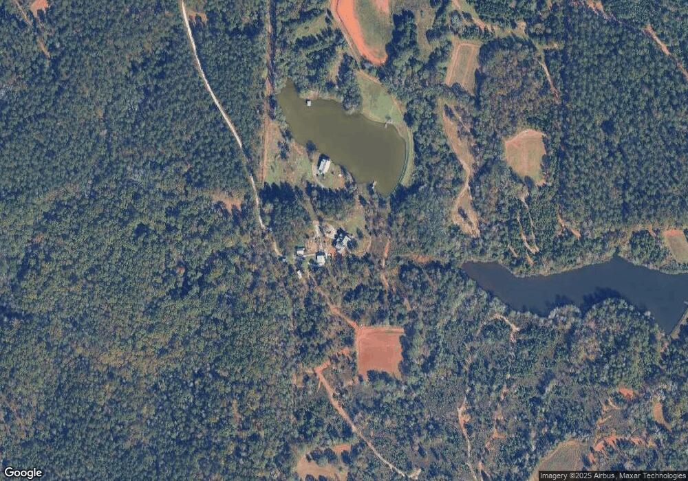
1259 Dunlap Rd West Point, GA 31833
Estimated Value: $402,000 - $536,000
3
Beds
3
Baths
2,308
Sq Ft
$198/Sq Ft
Est. Value
About This Home
This home is located at 1259 Dunlap Rd, West Point, GA 31833 and is currently estimated at $456,126, approximately $197 per square foot. 1259 Dunlap Rd is a home located in Harris County with nearby schools including New Mountain Hill Elementary School, Harris County Carver Middle School, and Creekside School.
Ownership History
Date
Name
Owned For
Owner Type
Purchase Details
Closed on
Dec 23, 2013
Sold by
Nealy Julian D
Bought by
Nealy Julian D and Nealy Karen G
Current Estimated Value
Purchase Details
Closed on
Mar 2, 2002
Sold by
Jk Llc
Bought by
Nealy Julian D
Purchase Details
Closed on
Jul 27, 2001
Bought by
J K Llc
Create a Home Valuation Report for This Property
The Home Valuation Report is an in-depth analysis detailing your home's value as well as a comparison with similar homes in the area
Home Values in the Area
Average Home Value in this Area
Purchase History
| Date | Buyer | Sale Price | Title Company |
|---|---|---|---|
| Nealy Julian D | -- | -- | |
| Nealy Julian D | $325,000 | -- | |
| J K Llc | -- | -- |
Source: Public Records
Tax History Compared to Growth
Tax History
| Year | Tax Paid | Tax Assessment Tax Assessment Total Assessment is a certain percentage of the fair market value that is determined by local assessors to be the total taxable value of land and additions on the property. | Land | Improvement |
|---|---|---|---|---|
| 2025 | $3,633 | $146,671 | $23,961 | $122,710 |
| 2024 | $3,239 | $119,878 | $11,837 | $108,041 |
| 2023 | $2,770 | $119,731 | $11,837 | $107,894 |
| 2022 | $3,232 | $119,731 | $11,837 | $107,894 |
| 2021 | $3,087 | $110,257 | $11,837 | $98,420 |
| 2020 | $3,087 | $110,257 | $11,837 | $98,420 |
| 2019 | $2,977 | $110,257 | $11,837 | $98,420 |
| 2018 | $3,038 | $110,257 | $11,837 | $98,420 |
| 2017 | $3,039 | $110,257 | $11,837 | $98,420 |
| 2016 | $2,686 | $106,736 | $11,837 | $94,900 |
| 2015 | $2,719 | $108,052 | $13,152 | $94,900 |
| 2014 | $2,765 | $109,911 | $13,152 | $96,759 |
| 2013 | -- | $107,155 | $10,396 | $96,759 |
Source: Public Records
Map
Nearby Homes
- 0 Newton Rd Unit 177097
- 1165 Monk St
- 1170 California St
- 2106 65th St
- 240 S 1st St
- 142 Cleveland Rd
- 6304 26th Ave
- 212 Melody Ln
- Lots 80-81 Pine Lake Dr
- 1716 44th St
- 5207 23rd Blvd
- 45 Davidson Rd
- 1061 Riverwood Dr
- 203 Hodge St
- 215 Poplar Cir
- 3201 Landkart Ave
- 813 Spring St
- 202 E Railroad St
- 1240 30th St E
- 1238 30th St E