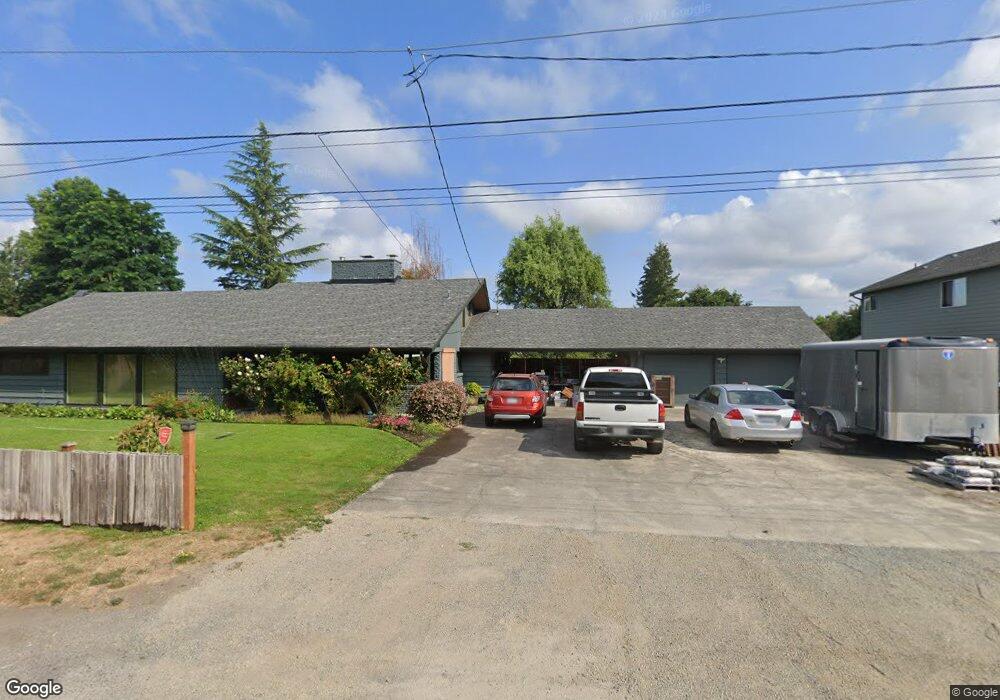
1259 Merritt Ave Enumclaw, WA 98022
Estimated Value: $657,601 - $678,000
4
Beds
3
Baths
2,460
Sq Ft
$272/Sq Ft
Est. Value
About This Home
This home is located at 1259 Merritt Ave, Enumclaw, WA 98022 and is currently estimated at $667,900, approximately $271 per square foot. 1259 Merritt Ave is a home located in King County with nearby schools including Byron Kibler Elementary School, Enumclaw Middle School, and Enumclaw Senior High School.
Ownership History
Date
Name
Owned For
Owner Type
Purchase Details
Closed on
Sep 30, 2013
Sold by
King Adella A and King Ronald W
Bought by
Federal National Mortgage Association
Current Estimated Value
Purchase Details
Closed on
Jun 28, 1996
Sold by
Timm Keith B and Timm Keith Byron
Bought by
King Ronald W and King Adella A
Home Financials for this Owner
Home Financials are based on the most recent Mortgage that was taken out on this home.
Original Mortgage
$145,800
Interest Rate
8.01%
Purchase Details
Closed on
Mar 28, 1996
Sold by
Grennan Alice Mary and Timm Alice Mary
Bought by
Timm Keith Byron
Home Financials for this Owner
Home Financials are based on the most recent Mortgage that was taken out on this home.
Original Mortgage
$40,000
Interest Rate
6.98%
Create a Home Valuation Report for This Property
The Home Valuation Report is an in-depth analysis detailing your home's value as well as a comparison with similar homes in the area
Home Values in the Area
Average Home Value in this Area
Purchase History
| Date | Buyer | Sale Price | Title Company |
|---|---|---|---|
| Federal National Mortgage Association | $268,373 | Nextitle | |
| King Ronald W | $162,000 | Stewart Title Company | |
| Timm Keith Byron | $69,280 | Commonwealth Land Title Ins |
Source: Public Records
Mortgage History
| Date | Status | Borrower | Loan Amount |
|---|---|---|---|
| Previous Owner | King Ronald W | $145,800 | |
| Previous Owner | Timm Keith Byron | $40,000 |
Source: Public Records
Tax History
| Year | Tax Paid | Tax Assessment Tax Assessment Total Assessment is a certain percentage of the fair market value that is determined by local assessors to be the total taxable value of land and additions on the property. | Land | Improvement |
|---|---|---|---|---|
| 2024 | $5,548 | $578,000 | $195,000 | $383,000 |
| 2023 | $5,210 | $496,000 | $168,000 | $328,000 |
| 2022 | $4,670 | $566,000 | $193,000 | $373,000 |
| 2021 | $4,349 | $459,000 | $167,000 | $292,000 |
| 2020 | $3,968 | $389,000 | $133,000 | $256,000 |
| 2018 | $4,006 | $357,000 | $122,000 | $235,000 |
| 2017 | $3,559 | $323,000 | $111,000 | $212,000 |
| 2016 | $3,506 | $296,000 | $102,000 | $194,000 |
| 2015 | $3,496 | $287,000 | $97,000 | $190,000 |
| 2014 | -- | $274,000 | $101,000 | $173,000 |
| 2013 | -- | $211,000 | $81,000 | $130,000 |
Source: Public Records
Map
Nearby Homes
- 0 xx 266th Ave SE
- 27008 SE & 27012 432nd St
- 2921 Frederickson St
- 1730 Hillcrest Ave
- 1705 Marshall Ave
- 2370 Mchugh Ave
- 1107 Griffin Ave
- 42102 264th Ave SE
- 1722 Harding St
- 1720 Garfield St Unit 4
- 431 Rainier Ave
- 1234 Lincoln Ave Unit A
- 1234 Lincoln Ave Unit B
- 2054 Roosevelt Ave
- 2881 Initial Ave
- 806 Pine Dr
- 823 Cottonwood Dr
- 1137 Spruce Dr
- 1624 Lockridge Loop E
- 915 Mountain Villa Dr
- 1311 Merritt Ave
- 1247 Merritt Ave
- 1264 Mchugh Ave
- 1304 Mchugh Ave
- 1242 Mchugh Ave
- 1302 Merritt Ave
- 1250 Merritt Ave
- 1320 Mchugh Ave
- 1329 Merritt Ave
- 1336 Mchugh Ave
- 1326 Merritt Ave
- 1214 Mchugh Ave
- 1216 Mchugh Ave
- 1339 Merritt Ave
- 1301 Mchugh Ave
- 1340 Merritt Ave
- 1348 Mchugh Ave
- 1411 Merritt Ave
- 3318 Cole St
- 1335 Mchugh Ave
Your Personal Tour Guide
Ask me questions while you tour the home.