1259 Minch Dr Wayland, MI 49348
Estimated Value: $178,404 - $588,000
--
Bed
--
Bath
--
Sq Ft
7
Acres
About This Home
This home is located at 1259 Minch Dr, Wayland, MI 49348 and is currently estimated at $411,135. 1259 Minch Dr is a home located in Barry County with nearby schools including Wayland High School.
Ownership History
Date
Name
Owned For
Owner Type
Purchase Details
Closed on
Jan 4, 2016
Sold by
Minch Robert and Mince Milagro
Bought by
401 & 402 Wayland Llc
Current Estimated Value
Purchase Details
Closed on
Dec 30, 2015
Sold by
Minch Robert
Bought by
Minch Robert and Minch Milagro
Purchase Details
Closed on
Oct 15, 2014
Sold by
Rickman Paula and Paula Rickman Trust
Bought by
Minch Robert
Purchase Details
Closed on
Dec 8, 2010
Sold by
Minch Paula
Bought by
Paula Minch Revocable Living Trust
Purchase Details
Closed on
Aug 26, 2007
Sold by
Minch William and Minch Paula
Bought by
Minch Paula
Create a Home Valuation Report for This Property
The Home Valuation Report is an in-depth analysis detailing your home's value as well as a comparison with similar homes in the area
Home Values in the Area
Average Home Value in this Area
Purchase History
| Date | Buyer | Sale Price | Title Company |
|---|---|---|---|
| 401 & 402 Wayland Llc | -- | Attorney | |
| Minch Robert | -- | Attorney | |
| Minch Robert | -- | First American Title Ins Co | |
| Paula Minch Revocable Living Trust | -- | None Available | |
| Minch Paula | -- | None Available |
Source: Public Records
Tax History Compared to Growth
Tax History
| Year | Tax Paid | Tax Assessment Tax Assessment Total Assessment is a certain percentage of the fair market value that is determined by local assessors to be the total taxable value of land and additions on the property. | Land | Improvement |
|---|---|---|---|---|
| 2025 | $1,567 | $61,300 | $0 | $0 |
| 2024 | $1,567 | $47,900 | $0 | $0 |
| 2023 | $1,452 | $35,800 | $0 | $0 |
| 2022 | $1,452 | $35,800 | $0 | $0 |
| 2021 | $1,452 | $33,700 | $0 | $0 |
| 2020 | $1,424 | $30,200 | $0 | $0 |
| 2019 | $1,424 | $30,200 | $0 | $0 |
| 2018 | $1,398 | $29,800 | $21,800 | $8,000 |
| 2017 | $1,398 | $29,800 | $0 | $0 |
| 2016 | -- | $30,100 | $0 | $0 |
| 2015 | -- | $30,300 | $0 | $0 |
| 2014 | -- | $30,300 | $0 | $0 |
Source: Public Records
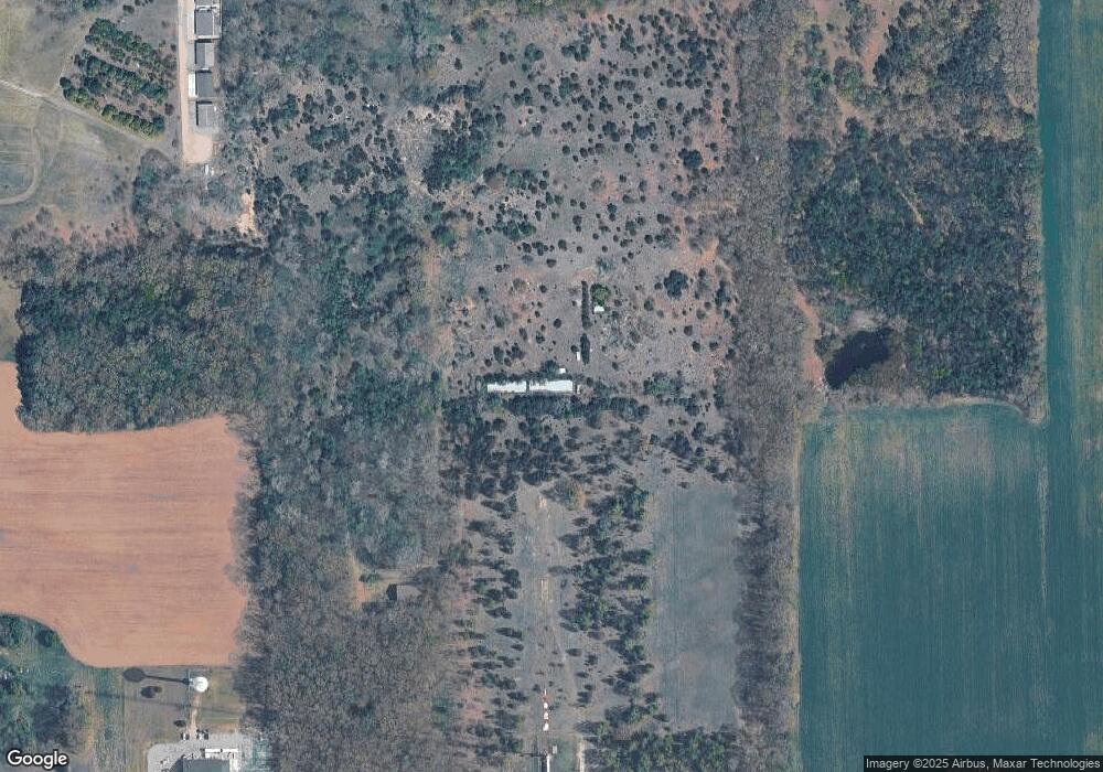
Map
Nearby Homes
- 12169 Pine Meadows Dr
- 1736 Parker Dr
- 12031 Sandstone Dr
- 1980 Parker Dr
- 12712 Sunrise Ct
- 2724 Pasture Ln
- 35 Cannonball Ln
- 11065 W M 179 Hwy
- 3140 Sandy Beach St
- 12940 Cleland Ave
- 1164 E Bernie Ct
- 12720 S Grey Ct
- 12857 Michael Dr Unit 49
- 1391 Shadowridge Dr
- 3298 Elmwood Beach Rd
- 2919 Beatrice Ave
- 2919 Beatrice Ave
- 11753 Rosemary Ln
- 11751 Rosemary Ln
- 0 Spruce Hollow Dr Unit Parcel B
- 1 Minch
- M-179 W Highway Hwy
- 1 Back Dr
- 21 Rison Dr Unit 21
- 12800 W M 179 Hwy
- 23 Rison Dr Unit 23
- 1207 S Patterson Rd
- 12418 W M 179 Hwy
- 24 Rison Dr Unit 24
- 12489 W M 179 Hwy
- 8 Rison Dr
- 0 Rison Dr Unit 21 M16048640
- 0 Rison Dr Unit 24 M16048648
- 0 Rison Dr Unit 23 M16048645
- 0 Rison Dr Unit 22
- Unit 23 Rison Dr Unit 23
- Unit 22 Rison Dr Unit 22
- Unit 21 Rison Dr Unit 21
- 12441 W M 179 Hwy
- 1075 S Patterson Rd