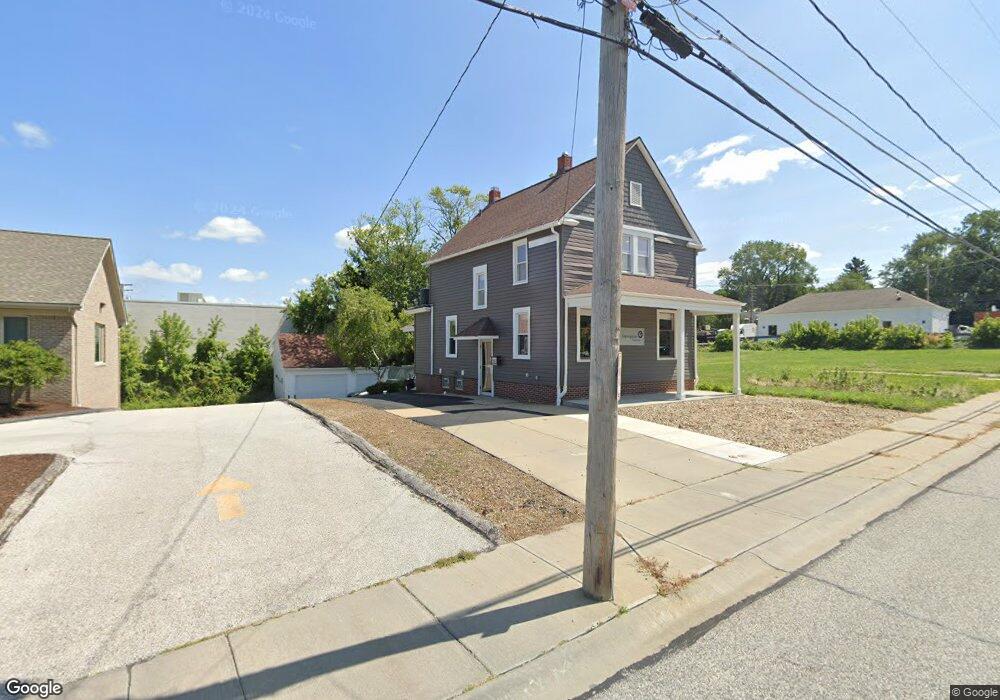
1259 Smith Ct Rocky River, OH 44116
Estimated Value: $471,821
3
Beds
1
Bath
2,095
Sq Ft
$225/Sq Ft
Est. Value
About This Home
This home is located at 1259 Smith Ct, Rocky River, OH 44116 and is currently estimated at $471,821, approximately $225 per square foot. 1259 Smith Ct is a home located in Cuyahoga County with nearby schools including Kensington Intermediate Elementary School, Goldwood Primary Elementary School, and Rocky River Middle School.
Ownership History
Date
Name
Owned For
Owner Type
Purchase Details
Closed on
Nov 23, 2021
Sold by
Recruiters United Network Llc
Bought by
Mebo Llc
Current Estimated Value
Purchase Details
Closed on
Jun 15, 2017
Sold by
Mclaughlim & Associates Company Inc
Bought by
Recruiters United Network Llc
Purchase Details
Closed on
Jan 22, 1990
Bought by
Mclaughlin & Association
Purchase Details
Closed on
Aug 15, 1983
Sold by
Kaupe Roy and Kaupe Mary E
Bought by
Mc T Properties
Purchase Details
Closed on
Jan 1, 1975
Bought by
Kaupe Roy and Kaupe Mary E
Create a Home Valuation Report for This Property
The Home Valuation Report is an in-depth analysis detailing your home's value as well as a comparison with similar homes in the area
Home Values in the Area
Average Home Value in this Area
Purchase History
| Date | Buyer | Sale Price | Title Company |
|---|---|---|---|
| Mebo Llc | $475,000 | Furry Deborah S | |
| Recruiters United Network Llc | $285,000 | Revere Title | |
| Mclaughlin & Association | $65,000 | -- | |
| Mc T Properties | $35,000 | -- | |
| Kaupe Roy | -- | -- |
Source: Public Records
Tax History Compared to Growth
Tax History
| Year | Tax Paid | Tax Assessment Tax Assessment Total Assessment is a certain percentage of the fair market value that is determined by local assessors to be the total taxable value of land and additions on the property. | Land | Improvement |
|---|---|---|---|---|
| 2024 | $12,749 | $136,920 | $20,580 | $116,340 |
| 2023 | $16,204 | $166,260 | $21,810 | $144,450 |
| 2022 | $10,724 | $105,740 | $21,810 | $83,930 |
| 2021 | $10,194 | $105,740 | $21,810 | $83,930 |
| 2020 | $10,270 | $77,140 | $20,580 | $56,560 |
| 2019 | $6,057 | $220,400 | $58,800 | $161,600 |
| 2018 | $6,048 | $77,140 | $20,580 | $56,560 |
| 2017 | $4,264 | $40,470 | $18,520 | $21,950 |
| 2016 | $6,760 | $40,470 | $18,520 | $21,950 |
| 2015 | $6,962 | $40,470 | $18,520 | $21,950 |
| 2014 | $6,962 | $44,940 | $20,580 | $24,360 |
Source: Public Records
Map
Nearby Homes
- 20333 Detroit Rd Unit 311B
- 20333 Detroit Rd Unit 213B
- 1744 Lakeview Ave
- 19740 Lake Rd Unit 19740
- 20695 Beaconsfield Blvd
- 19575 Shoreland Ave
- 19712 Laurel Ave
- 19665 Roslyn Dr
- 459 Wagar Rd
- 2039 Wooster Rd Unit D51
- 19689 Purnell Ave
- 19204 Frazier Dr
- 19334 Frazier Dr
- 0 Riverdale Dr Unit 5078145
- 0 Riverdale Dr
- 19960 Westway Dr
- 19091 Inglewood Ave
- 416 Riverdale Dr
- 387 S Island Dr
- 21307 Lake Rd
- 1305 Smith Ct
- 1325 Smith Ct
- 1329 Smith Ct
- 20006 Detroit Rd Unit 400
- 20006 Detroit Rd Unit 400
- 20020 Detroit Rd
- 1206 Smith Ct
- 20015 Detroit Rd
- 20033 Detroit Rd Unit 203
- 19892 Eldora Rd
- 19898 Eldora Rd
- 20029 Detroit Rd
- 19904 Eldora Rd
- 19906 Eldora Rd
- 20140 Detroit Rd
- 19910 Eldora Rd
- 19920 Eldora Rd
- 19922 Eldora Rd
- 20000 Eldora Rd
- 20020 Eldora Rd