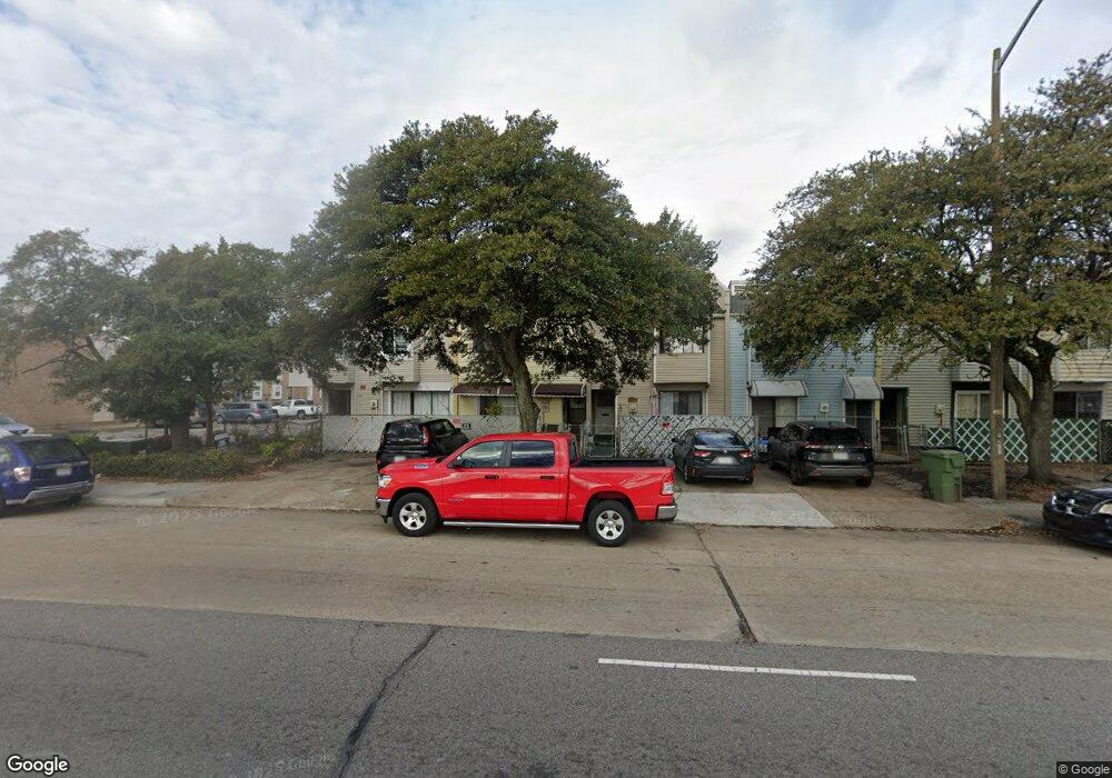
1259 Tidewater Dr Norfolk, VA 23504
Barberton NeighborhoodEstimated Value: $155,110 - $200,000
3
Beds
2
Baths
1,288
Sq Ft
$139/Sq Ft
Est. Value
About This Home
This home is located at 1259 Tidewater Dr, Norfolk, VA 23504 and is currently estimated at $179,028, approximately $138 per square foot. 1259 Tidewater Dr is a home located in Norfolk City with nearby schools including Jacox Elementary School, Blair Middle School, and Granby High School.
Ownership History
Date
Name
Owned For
Owner Type
Purchase Details
Closed on
Jul 26, 2006
Sold by
Jones Shalamar A
Bought by
Jones Shalamar A and Jones Andrew A
Current Estimated Value
Home Financials for this Owner
Home Financials are based on the most recent Mortgage that was taken out on this home.
Original Mortgage
$82,400
Outstanding Balance
$48,838
Interest Rate
6.62%
Mortgage Type
New Conventional
Estimated Equity
$130,190
Create a Home Valuation Report for This Property
The Home Valuation Report is an in-depth analysis detailing your home's value as well as a comparison with similar homes in the area
Home Values in the Area
Average Home Value in this Area
Purchase History
| Date | Buyer | Sale Price | Title Company |
|---|---|---|---|
| Jones Shalamar A | -- | -- |
Source: Public Records
Mortgage History
| Date | Status | Borrower | Loan Amount |
|---|---|---|---|
| Open | Jones Shalamar A | $82,400 |
Source: Public Records
Tax History Compared to Growth
Tax History
| Year | Tax Paid | Tax Assessment Tax Assessment Total Assessment is a certain percentage of the fair market value that is determined by local assessors to be the total taxable value of land and additions on the property. | Land | Improvement |
|---|---|---|---|---|
| 2025 | $1,533 | $122,600 | $22,500 | $100,100 |
| 2024 | $1,438 | $116,900 | $22,500 | $94,400 |
| 2023 | $1,400 | $112,000 | $22,500 | $89,500 |
| 2022 | $1,221 | $97,700 | $15,600 | $82,100 |
| 2021 | $1,113 | $89,000 | $13,500 | $75,500 |
| 2020 | $1,113 | $89,000 | $13,500 | $75,500 |
| 2019 | $995 | $79,600 | $13,500 | $66,100 |
| 2018 | $966 | $77,300 | $13,500 | $63,800 |
| 2017 | $880 | $76,500 | $13,500 | $63,000 |
| 2016 | $863 | $84,400 | $13,500 | $70,900 |
| 2015 | $865 | $84,400 | $13,500 | $70,900 |
| 2014 | $865 | $84,400 | $13,500 | $70,900 |
Source: Public Records
Map
Nearby Homes
- 979 Denhart St
- 702 Howard Place
- 1447 Dungee St
- 1456 Calhoun St
- 1005 Saint Julian Ave
- 962 Saint Julian Ave
- 859 Lexington St
- 835 Lexington St
- 1256 Maltby Ave
- 1032 Anderson St
- 835 Fremont St
- 833 Fremont St
- 1815 Tidewater Dr
- 1827 Carswell St
- 1825 Tidewater Dr
- 887 A Ave
- 893 A Ave
- 1814 Bracey St
- 803 A Ave
- 1019 Tunstall Ave
- 1261 Tidewater Dr
- 1263 Tidewater Dr
- 1265 Tidewater Dr
- 1267 Tidewater Dr
- 1269 Tidewater Dr
- 1271 Tidewater Dr
- 1273 Tidewater Dr
- 1275 Tidewater Dr
- 951 Goff St
- 945 Goff St
- 939 Goff St
- 1260 Tidewater Dr
- 975 Goff St
- LOT 5 Goff St
- 900 E Princess Anne Rd
- 970 Goff St
- 966 Goff St
- 1300 Factory St
- 1200 Tidewater Dr
- 898 E Princess Anne Rd