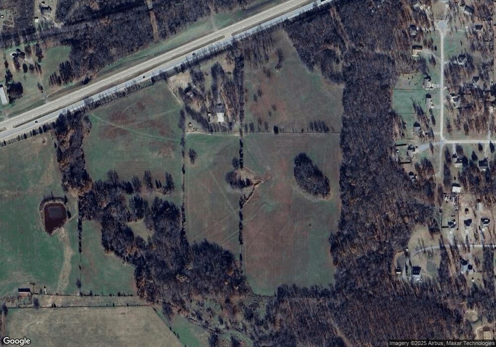
12593 Highway 62 Tahlequah, OK 74464
Estimated Value: $304,000 - $329,233
3
Beds
1
Bath
2,082
Sq Ft
$151/Sq Ft
Est. Value
About This Home
This home is located at 12593 Highway 62, Tahlequah, OK 74464 and is currently estimated at $315,058, approximately $151 per square foot. 12593 Highway 62 is a home located in Cherokee County.
Ownership History
Date
Name
Owned For
Owner Type
Purchase Details
Closed on
Mar 31, 2025
Sold by
Alpha Rental Properties Inc
Bought by
Sleezer Richard and Sleezer Carolyn
Current Estimated Value
Purchase Details
Closed on
Sep 22, 2023
Sold by
Jobe Trust
Bought by
Alpha Rental Properties Inc
Home Financials for this Owner
Home Financials are based on the most recent Mortgage that was taken out on this home.
Original Mortgage
$427,771
Interest Rate
7.09%
Mortgage Type
New Conventional
Purchase Details
Closed on
Dec 8, 2009
Sold by
Jobe Jonathan Clarke
Bought by
Jobe Jonathan Clarke
Create a Home Valuation Report for This Property
The Home Valuation Report is an in-depth analysis detailing your home's value as well as a comparison with similar homes in the area
Home Values in the Area
Average Home Value in this Area
Purchase History
| Date | Buyer | Sale Price | Title Company |
|---|---|---|---|
| Sleezer Richard | $303,000 | Titan Title & Closing | |
| Sleezer Richard | $303,000 | Titan Title & Closing | |
| Alpha Rental Properties Inc | $525,000 | Infinity Title | |
| Jobe Jonathan Clarke | -- | None Available |
Source: Public Records
Mortgage History
| Date | Status | Borrower | Loan Amount |
|---|---|---|---|
| Previous Owner | Alpha Rental Properties Inc | $427,771 |
Source: Public Records
Tax History Compared to Growth
Tax History
| Year | Tax Paid | Tax Assessment Tax Assessment Total Assessment is a certain percentage of the fair market value that is determined by local assessors to be the total taxable value of land and additions on the property. | Land | Improvement |
|---|---|---|---|---|
| 2025 | $1,289 | $1,841 | $1,841 | $0 |
| 2024 | $1,289 | $16,216 | $1,428 | $14,788 |
| 2023 | $1,289 | $15,118 | $1,317 | $13,801 |
| 2022 | $1,145 | $14,677 | $1,272 | $13,405 |
| 2021 | $1,145 | $14,250 | $1,229 | $13,021 |
| 2020 | $1,145 | $13,835 | $1,187 | $12,648 |
| 2019 | $1,112 | $13,431 | $1,152 | $12,279 |
| 2018 | $0 | $13,041 | $1,098 | $11,943 |
| 2017 | $0 | $12,661 | $1,098 | $11,563 |
| 2016 | -- | $12,292 | $1,098 | $11,194 |
| 2015 | $995 | $11,934 | $1,098 | $10,836 |
| 2014 | $966 | $11,587 | $1,098 | $10,489 |
Source: Public Records
Map
Nearby Homes
- 12890 W Southern Oaks St
- 12910 W Southern Oaks St
- 12219 U S 62
- 0 Hwy 62 Hwy Unit 2532149
- 0 Hwy 62 Hwy Unit 2532139
- 0 Hwy 62 Hwy Unit 2532141
- 0 Hwy 62 Hwy Unit 2532145
- 13670 W 834 Rd
- 24481 S Manard Rd
- 11396 W Joyce Ln
- 14650 W 835 Rd
- 1956 E Moffett Ln
- 175 Reid Rd
- 121 Quanah Rd
- 27254 S 490 Rd
- 0 S Qualls Rd Unit 2543872
- 1904 N County Line Rd E
- 22695 N 6 Mile Rd
- 1838 E Hwy 62
- 2 S 490 Rd
- 12522 W 835 Rd
- 12600 W 835 Rd
- 12741 Highway 62
- 25639 S Pin Oak Dr
- 12316 W 835 Rd
- 0 Hwy 62 W Unit 1533842
- 0 Hwy 62 W Unit 1555052
- 0 Hwy 62 W Unit 1904619
- 12270 W 835 Rd
- 12810 W Southern Oaks St
- 12800 W Southern Oaks St
- 12944 W Mossy Oak Ln
- 25619 S Pin Oak Dr
- 25691 S Pin Oak Dr
- 25640 S Pin Oak Dr
- 25663 S Pin Oak Dr
- 25719 S Pin Oak Dr
- 25753 S Pin Oak Dr
- 25783 S Pin Oak Dr
- 12825 W Mossy Oak Ln
