12595 Maston Lake Rd Sand Lake, MI 49343
Estimated Value: $159,383 - $235,000
--
Bed
--
Bath
1,496
Sq Ft
$135/Sq Ft
Est. Value
About This Home
This home is located at 12595 Maston Lake Rd, Sand Lake, MI 49343 and is currently estimated at $201,346, approximately $134 per square foot. 12595 Maston Lake Rd is a home located in Kent County with nearby schools including Cedar Trails Elementary School, Red Hawk Intermediate School, and Beach Elementary School.
Ownership History
Date
Name
Owned For
Owner Type
Purchase Details
Closed on
Jul 29, 2005
Sold by
Brown Jeffrey S
Bought by
Bresnahan Susan K
Current Estimated Value
Home Financials for this Owner
Home Financials are based on the most recent Mortgage that was taken out on this home.
Original Mortgage
$55,000
Interest Rate
5.8%
Mortgage Type
Balloon
Purchase Details
Closed on
Feb 11, 1998
Bought by
Bresnahan Susan K and Bresnahan Susan K
Create a Home Valuation Report for This Property
The Home Valuation Report is an in-depth analysis detailing your home's value as well as a comparison with similar homes in the area
Home Values in the Area
Average Home Value in this Area
Purchase History
| Date | Buyer | Sale Price | Title Company |
|---|---|---|---|
| Bresnahan Susan K | $50,000 | -- | |
| Bresnahan Susan K | $39,000 | -- |
Source: Public Records
Mortgage History
| Date | Status | Borrower | Loan Amount |
|---|---|---|---|
| Closed | Bresnahan Susan K | $55,000 |
Source: Public Records
Tax History Compared to Growth
Tax History
| Year | Tax Paid | Tax Assessment Tax Assessment Total Assessment is a certain percentage of the fair market value that is determined by local assessors to be the total taxable value of land and additions on the property. | Land | Improvement |
|---|---|---|---|---|
| 2025 | $891 | $68,900 | $0 | $0 |
| 2024 | $891 | $72,200 | $0 | $0 |
| 2023 | $851 | $65,900 | $0 | $0 |
| 2022 | $1,069 | $62,300 | $0 | $0 |
| 2021 | $1,075 | $44,500 | $0 | $0 |
| 2020 | $815 | $49,700 | $0 | $0 |
| 2019 | $1,041 | $44,200 | $0 | $0 |
| 2018 | $1,021 | $34,200 | $0 | $0 |
| 2017 | $994 | $32,400 | $0 | $0 |
| 2016 | $958 | $31,800 | $0 | $0 |
| 2015 | -- | $31,800 | $0 | $0 |
| 2013 | -- | $30,500 | $0 | $0 |
Source: Public Records
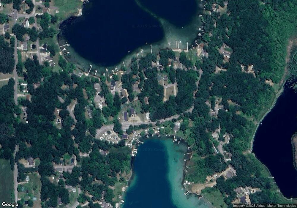
Map
Nearby Homes
- 12513 Mcmurty Dr NE
- 12432 Mcmurty Dr NE
- 12651 Maston Lake Dr
- 16351 Black Lake Cove
- 13142 Spruce Ridge Dr NE
- 13020 Spruceridge Rd
- 15740 Grey Goose Dr
- 16000 Force Ave NE
- 12789 Wagner St NE
- 12468 22 Mile Rd NE
- 12785 Linway St NE
- 16375 Bass Lake Ave NE
- 12783 Laketon St NE
- 15494 Kimball Rd
- 11629 Crimson Creek Dr
- 2456 Dane St
- 13478 NE Windy Craig Dr
- 11550 W Sidney Rd
- 12808 Lincoln Lake Ave NE
- 11026 W Sidney Rd
- 12599 Maston Lake Rd
- 12500 Maston Lake Rd
- 12594 Mcmanus St
- 12594 Mcmanus St NE
- 12594 Mcmanus
- 12587 Mcmanus St NE
- 12587 Mcmanus
- 12620 Maston Lake Rd
- 12629 Maston Lake Rd
- 12586 Maston Lake Rd
- 12586 Maston Lake Rd
- 12566 Glorietta Dr
- 12566 Glorietta Dr
- 12630 Maston Lake Rd
- 12630 Maston Lake Rd
- 12562 Glorietta Dr
- 12601 Glorietta Dr
- 12643 Mcmanus St NE
- 12633 Mcmanus St
- 12640 Maston Lake Rd