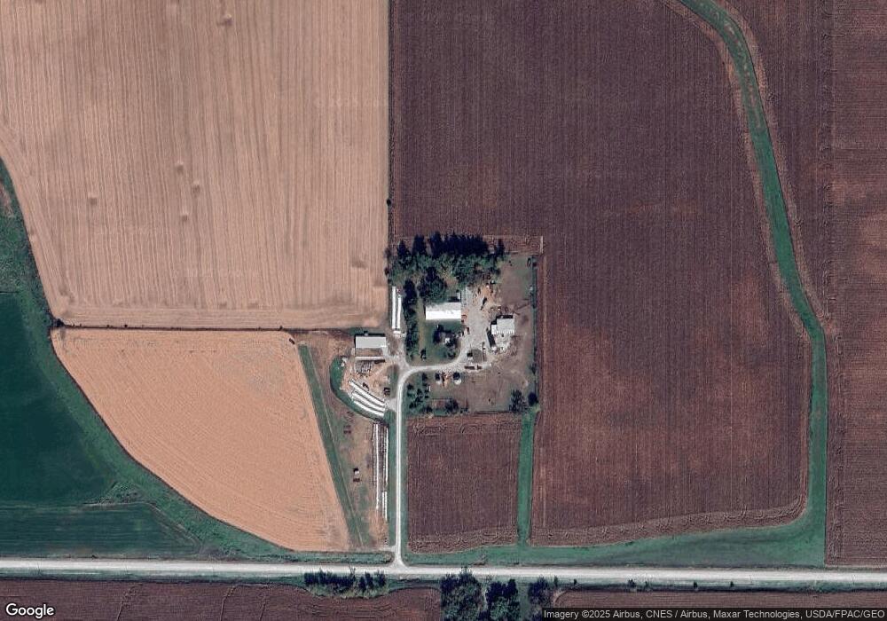
12597 286th St Spring Valley, MN 55975
Estimated Value: $215,000 - $436,000
3
Beds
1
Bath
1,410
Sq Ft
$251/Sq Ft
Est. Value
About This Home
This home is located at 12597 286th St, Spring Valley, MN 55975 and is currently estimated at $353,619, approximately $250 per square foot. 12597 286th St is a home located in Fillmore County with nearby schools including Kingsland Elementary School, Kingsland Middle School, and Kingsland Junior/Senior High School.
Ownership History
Date
Name
Owned For
Owner Type
Purchase Details
Closed on
Jul 14, 2005
Sold by
Snyder Philip
Bought by
Snyder Matthew A and Snyder Wendy A
Current Estimated Value
Home Financials for this Owner
Home Financials are based on the most recent Mortgage that was taken out on this home.
Original Mortgage
$80,000
Interest Rate
5.82%
Mortgage Type
Purchase Money Mortgage
Create a Home Valuation Report for This Property
The Home Valuation Report is an in-depth analysis detailing your home's value as well as a comparison with similar homes in the area
Purchase History
We collect this data history from publicly available records. To have your information removed, we recommend requesting removal directly through your county’s website.
| Date | Buyer | Sale Price | Title Company |
|---|---|---|---|
| Snyder Matthew A | $97,000 | None Available |
Source: Public Records
Mortgage History
We collect this data history from publicly available records. To have your information removed, we recommend requesting removal directly through your county’s website.
| Date | Status | Borrower | Loan Amount |
|---|---|---|---|
| Previous Owner | Snyder Matthew A | $80,000 |
Source: Public Records
Tax History
| Year | Tax Paid | Tax Assessment Tax Assessment Total Assessment is a certain percentage of the fair market value that is determined by local assessors to be the total taxable value of land and additions on the property. | Land | Improvement |
|---|---|---|---|---|
| 2025 | $1,390 | $341,100 | $91,400 | $249,700 |
| 2024 | $1,076 | $215,400 | $72,000 | $143,400 |
| 2023 | $1,016 | $215,400 | $72,000 | $143,400 |
| 2022 | $1,016 | $233,300 | $106,400 | $126,900 |
| 2021 | $1,016 | $198,700 | $83,000 | $115,700 |
| 2020 | $1,050 | $198,700 | $83,000 | $115,700 |
| 2019 | $836 | $201,600 | $83,000 | $118,600 |
| 2018 | $762 | $201,600 | $83,000 | $118,600 |
| 2017 | -- | $187,600 | $75,300 | $112,300 |
| 2016 | $826 | $180,300 | $68,000 | $112,300 |
| 2015 | $986 | $162,100 | $63,988 | $98,112 |
| 2014 | $986 | $162,100 | $63,988 | $98,112 |
| 2013 | $986 | $161,200 | $63,979 | $97,221 |
Source: Public Records
Map
Nearby Homes
- 30300 County 1
- 15151 304th St
- XXX 256th St
- 209 E Main St
- TBD Harrison Ave NE
- 204 Lincoln Dr NE
- 105 Capelle St
- 100 Capelle St
- 712 Memorial Dr
- 77653 State 16
- 77555 State 16
- 417 Warner Ave
- 3502-3544 State Hwy 30
- 209 W Jefferson St
- 221 E Church St
- 512 S Broadway St
- Hwy 30 E
- 77653 Minnesota 16
- 114 Prairie Stone Ct SE
- 870 Bucknell Ln SE
Your Personal Tour Guide
Ask me questions while you tour the home.