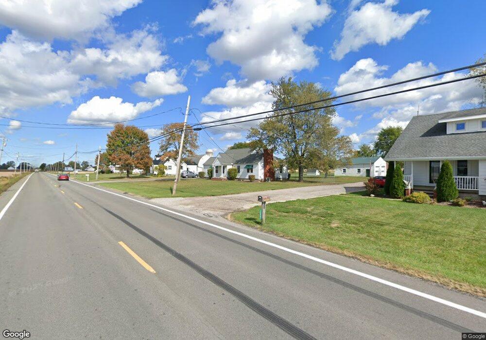
12597 State Route 301 Lagrange, OH 44050
Estimated Value: $211,000 - $329,000
3
Beds
2
Baths
1,636
Sq Ft
$173/Sq Ft
Est. Value
About This Home
This home is located at 12597 State Route 301, Lagrange, OH 44050 and is currently estimated at $283,587, approximately $173 per square foot. 12597 State Route 301 is a home located in Lorain County with nearby schools including Keystone Elementary School, Keystone Middle School, and Keystone High School.
Ownership History
Date
Name
Owned For
Owner Type
Purchase Details
Closed on
Feb 23, 2017
Sold by
Tidd Anne M and Meakin Thomas D
Bought by
Bloch Mitchel A and Bloch Cathy J
Current Estimated Value
Purchase Details
Closed on
Dec 8, 2011
Sold by
Murtha Michael F and Murtha Dayle J
Bought by
Meakin Thomas D
Home Financials for this Owner
Home Financials are based on the most recent Mortgage that was taken out on this home.
Original Mortgage
$94,400
Interest Rate
4.11%
Mortgage Type
Future Advance Clause Open End Mortgage
Purchase Details
Closed on
Jan 6, 2006
Sold by
Diedrick Kenneth J and Diedrick Linda M
Bought by
Murtha Michael F and Murtha Dayle J
Create a Home Valuation Report for This Property
The Home Valuation Report is an in-depth analysis detailing your home's value as well as a comparison with similar homes in the area
Purchase History
| Date | Buyer | Sale Price | Title Company |
|---|---|---|---|
| Bloch Mitchel A | $142,500 | Northstar Title | |
| Meakin Thomas D | $118,000 | Attorney | |
| Murtha Michael F | -- | Elyria Land Title |
Source: Public Records
Mortgage History
| Date | Status | Borrower | Loan Amount |
|---|---|---|---|
| Previous Owner | Meakin Thomas D | $94,400 |
Source: Public Records
Tax History
| Year | Tax Paid | Tax Assessment Tax Assessment Total Assessment is a certain percentage of the fair market value that is determined by local assessors to be the total taxable value of land and additions on the property. | Land | Improvement |
|---|---|---|---|---|
| 2024 | $2,869 | $70,459 | $30,069 | $40,390 |
| 2023 | $2,659 | $53,795 | $28,784 | $25,011 |
| 2022 | $2,638 | $53,795 | $28,784 | $25,011 |
| 2021 | $2,638 | $53,795 | $28,784 | $25,011 |
| 2020 | $2,705 | $49,990 | $26,750 | $23,240 |
| 2019 | $2,688 | $49,990 | $26,750 | $23,240 |
| 2018 | $2,729 | $49,990 | $26,750 | $23,240 |
| 2017 | $2,760 | $47,840 | $22,100 | $25,740 |
| 2016 | $2,740 | $47,840 | $22,100 | $25,740 |
| 2015 | $2,695 | $47,840 | $22,100 | $25,740 |
| 2014 | $2,346 | $47,840 | $22,100 | $25,740 |
| 2013 | $2,240 | $47,840 | $22,100 | $25,740 |
Source: Public Records
Map
Nearby Homes
- 41341 Ravines Edge Way
- 40163 Banks Rd
- 11861 Indian Hollow Rd
- 40175 Banks Rd
- 13301 Indian Hollow Rd
- 39535 Butternut Ridge Rd
- 114 River Run Dr
- 158 River Run Dr
- 502 Cedarwood Trail
- 437 Pheasant Run
- 40000 Myrtle Ct
- 425 Pheasant Run
- 38627 Bear Creek Dr
- 421 Pheasant Run
- 430 Pheasant Run
- 246 River Run Dr
- 221 River Run Dr
- 417 Pheasant Run
- 426 Pheasant Run
- 229 River Run Dr
- 12597 Lagrange Rd
- 12579 State Route 301
- 12551 State Route 301
- 12623 State Route 301
- 12531 State Route 301
- 12771 State Route 301
- 40955 Ohio 301
- 12690 Cissell Ln
- 12700 Cissell Ln
- 12750 Cissell Ln
- 41000 Slife Rd
- 40950 Slife Rd
- 40850 Slife Rd
- 40900 Slife Rd
- 12701 Cissell Ln
- 12751 Cissell Ln
- 12930 Lagrange Rd
- 40999 Slife Rd
- 12793 Cissell Ln
- 40957 Slife Rd